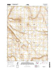
2017 Map of Fire Lake
USGS Topo · Published 2017About this map
Fire Lake and several smaller basins define this high-desert landscape in Lake County during the mid-2010s. The topography is characterized by the prominent elevation of Saunders Rim, which overlooks a series of vital water sources including W Saunders Waterhole and S P C Waterhole. These localized water catchments are critical landmarks in a region largely defined by its arid terrain and public land survey divisions.
Find a feature on this map
12 named features on this map. Tap any name to fly to it.
Don’t see what you’re looking for? This feature index may not catch every label — zoom into the map to look around manually.
Map Details
Editions of this 2017 Fire Lake Map
This is the sole edition of this map. No revisions or reprints were ever made.
Other maps of this area

1955 · Crescent
USGS Topo · 1:250,000

1955 · Klamath Falls
USGS Topo · 1:250,000

1957 · Crescent
USGS Topo · 1:250,000

1958 · Crescent
USGS Topo · 1:250,000

1958 · Klamath Falls
USGS Topo · 1:250,000

1970 · Crescent
USGS Topo · 1:250,000

1974 · Lake Abert
USGS Topo · 1:100,000
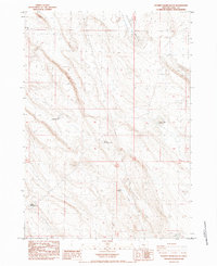
1984 · Poverty Basin South
USGS Topo · 1:24,000
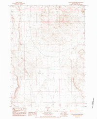
1984 · Poverty Basin North
USGS Topo · 1:24,000

1984 · Horse Mtn
USGS Topo · 1:24,000