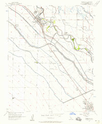
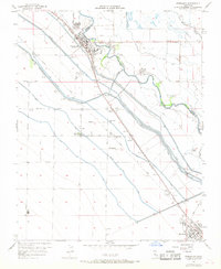
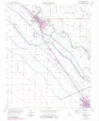
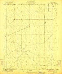
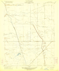
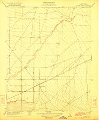
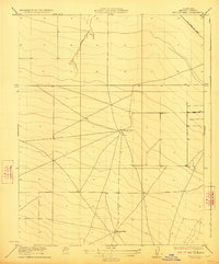
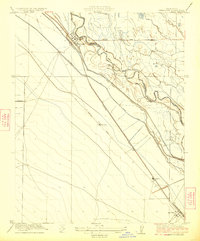
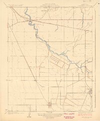
1956 Map of Firebaugh
USGS Topo · Published 1958About this map
Firebaugh and Mendota anchor this mid-century portrait of Central Valley agriculture, where the Southern Pacific railroad corridor dictates the placement of settlements and grain infrastructure. The landscape is defined by a dense network of irrigation, featuring the San Joaquin River and the engineered Delta-Mendota Canal, along with several lift canals that transformed this terrain into productive ranch land.
Find a feature on this map
53 named features on this map. Tap any name to fly to it.
Don’t see what you’re looking for? This feature index may not catch every label — zoom into the map to look around manually.
Map Details
Editions of this 1956 Firebaugh Map
3 editions found
Other maps of this area

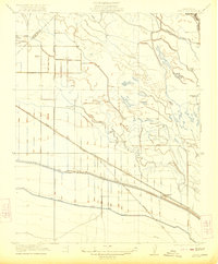
1913 · Panoche
USGS Topo · 1:125,000

1921 · Mendota
USGS Topo · 1:31,680
1922 · Oxalis
USGS Topo · 1:31,680
1922 · Tufts Ranch
USGS Topo · 1:31,680

1922 · Pozo Farm
USGS Topo · 1:31,680
1922 · Kentucky Well
USGS Topo · 1:31,680
1922 · Chaney Ranch
USGS Topo · 1:31,680
1923 · Wisdom Well
USGS Topo · 1:31,680
1923 · Firebaugh
USGS Topo · 1:31,680
1924 · Tranquillity
USGS Topo · 1:31,680