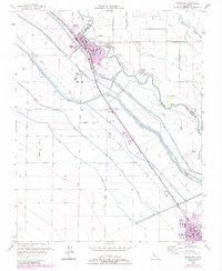
1956 Map of Firebaugh
USGS Topo · Published 1984About this map
The San Joaquin River snakes through the heart of the Central Valley, creating a complex border between Fresno and Madera counties. This landscape is defined by its massive water-moving infrastructure, where the Delta-Mendota Canal, Outside Canal, and Main Canal run parallel to the Southern Pacific tracks, supporting the agricultural economy of the region. The city of Firebaugh serves as a major hub, featuring a Cem, Grain Tanks, and schools like Riverside Sch. Further south, the town of Mendota anchors the lower portion of the map near McCabe Sch. Smaller rail stops and ranching outposts such as Arbios, Cromir, and Helm Ranch are connected by a rigid grid of rural avenues, illustrating the systematic development of the valley's irrigation districts and farming communities during the mid-20th century.
Find a feature on this map
55 named features on this map. Tap any name to fly to it.
Don’t see what you’re looking for? This feature index may not catch every label — zoom into the map to look around manually.
Map Details
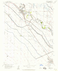
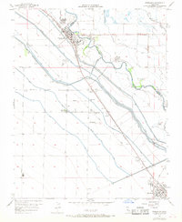
Editions of this 1956 Firebaugh Map
3 editions found
Other maps of this area

1913 · Panoche
USGS Topo · 1:125,000

1921 · Mendota
USGS Topo · 1:31,680

1922 · Oxalis
USGS Topo · 1:31,680

1922 · Tufts Ranch
USGS Topo · 1:31,680

1922 · Pozo Farm
USGS Topo · 1:31,680

1922 · Kentucky Well
USGS Topo · 1:31,680

1922 · Chaney Ranch
USGS Topo · 1:31,680

1923 · Wisdom Well
USGS Topo · 1:31,680

1923 · Firebaugh
USGS Topo · 1:31,680

1924 · Tranquillity
USGS Topo · 1:31,680