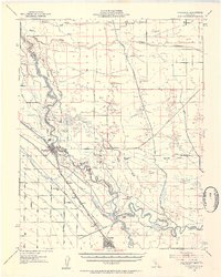
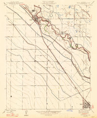
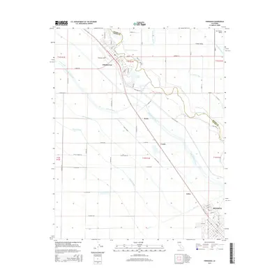
1946 Map of Firebaugh
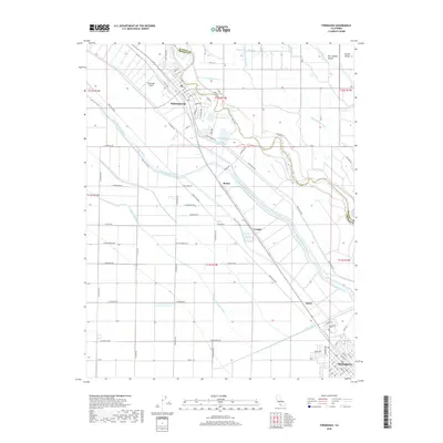
USGS Topo · Published 1954About this map
The agricultural heart of the San Joaquin Valley is defined by its complex irrigation network in this post-war revision. The San Joaquin River snakes through the landscape, flanked by extensive levee systems and major water-management features like the Mendota Dam and the Delta-Mendota Canal. This area reflects the intensive ranching and farming operations of the mid-1940s, evidenced by large named properties such as the East Side Ranch, Pomona Ranch, and Aliso Ranch.
Find a feature on this map
45 named features on this map. Tap any name to fly to it.
Don’t see what you’re looking for? This feature index may not catch every label — zoom into the map to look around manually.
Map Details
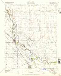
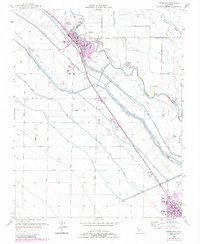
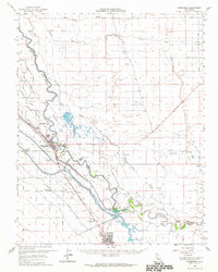
Editions of this 1946 Firebaugh Map
2 editions found
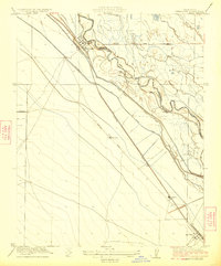
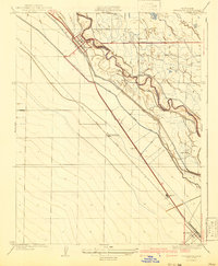
Historical Maps of Mendota Through Time
10 maps found
1923 Firebaugh
Fresno County, CA
1941 Firebaugh
Fresno County, CA
1946 Firebaugh
Fresno County, CA
1947 Firebaugh
Fresno County, CA
1956 Firebaugh
Fresno County, CA
1962 Firebaugh
Fresno County, CA
2012 Firebaugh
Fresno County, CA
2015 Firebaugh
Fresno County, CA
2018 Firebaugh
Fresno County, CA
2021 Firebaugh
Fresno County, CA