
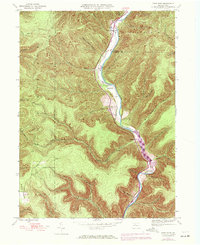
1945 Map of First Fork
USGS Topo · Published 1954About this map
First Fork Sinnemahoning Creek carves a deep valley through the high plateaus of Grove and Wharton townships at the conclusion of World War II. This landscape is defined by its drainage network, where dozens of named runs like Brooks Run and Lick Island Run flow from steep hollows into the main valley floor. The human presence is concentrated along the narrow riparian corridor, where the settlement of First Fork serves as a small hub.
Find a feature on this map
44 named features on this map. Tap any name to fly to it.
Don’t see what you’re looking for? This feature index may not catch every label — zoom into the map to look around manually.
Map Details
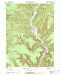
Editions of this 1945 First Fork Map
Other maps of this area

1945 · Driftwood
USGS Topo · 1:48,000

1945 · Sinnemahoning
USGS Topo · 1:24,000

1945 · Driftwood
USGS Topo · 1:24,000

1945 · Cameron
USGS Topo · 1:24,000

1946 · Renovo West
USGS Topo · 1:62,500

1946 · Hammersley Fork
USGS Topo · 1:24,000

1946 · Keating
USGS Topo · 1:24,000

1947 · Cameron
USGS Topo · 1:24,000

1947 · First Fork
USGS Topo · 1:24,000

1947 · Sinnemahoning
USGS Topo · 1:24,000
Featured Places
- Wharton Township, PA
- Lushbaugh, Grove Township
- Lumber Township, PA
- Grove Township, PA
- Gibson Township, PA