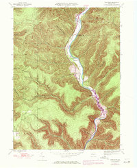
1945 Map of First Fork
USGS Topo · Published 1972About this map
First Fork Sinnemahoning Creek carves a deep path through the Cameron and Potter County highlands, serving as the central artery for this remote Pennsylvania landscape. The valley floor is home to small pockets of activity near First Fork and Lushbaugh, where early industry and utility are evidenced by a Gaging Sta and a long-reaching Pipeline. Steep ridges like Grove Ridge and M Ridge are defined by an intricate network of tributary runs, including Rattlesnake Run and Lick Island Run, which underscore the rugged topography that historically limited large-scale settlement.
Find a feature on this map
56 named features on this map. Tap any name to fly to it.
Don’t see what you’re looking for? This feature index may not catch every label — zoom into the map to look around manually.
Map Details
Editions of this 1945 First Fork Map
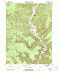
Other maps of this area

1945 · Driftwood
USGS Topo · 1:48,000

1945 · First Fork
USGS Topo · 1:24,000

1945 · Sinnemahoning
USGS Topo · 1:24,000

1945 · Driftwood
USGS Topo · 1:24,000

1945 · Cameron
USGS Topo · 1:24,000

1946 · Renovo West
USGS Topo · 1:62,500

1946 · Hammersley Fork
USGS Topo · 1:24,000

1946 · Keating
USGS Topo · 1:24,000

1947 · Cameron
USGS Topo · 1:24,000

1947 · First Fork
USGS Topo · 1:24,000
Featured Places
- Wharton Township, PA
- Lushbaugh, Grove Township
- Lumber Township, PA
- Grove Township, PA
- Gibson Township, PA