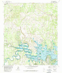
1989 Map of Fischer
USGS Topo · Published 1989About this map
Canyon Lake and the winding Guadalupe River define the lower half of this late-century landscape, illustrating the management of water resources in the Texas Hill Country. The topography is deeply carved by drainage systems like Devils Hollow and Rebecca Creek, which feed into the primary river channel. This survey, revised by the Geological Survey in the late 1980s, highlights the recreational infrastructure of the era, including the Potters Creek Park and Cranes Mill Park shoreline developments.
Find a feature on this map
30 named features on this map. Tap any name to fly to it.
Don’t see what you’re looking for? This feature index may not catch every label — zoom into the map to look around manually.
Map Details
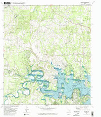
Editions of this 1989 Fischer Map
2 editions found
Other maps of this area

1887 · Blanco
USGS Topo · 1:125,000

1894 · Blanco
USGS Topo · 1:125,000

1920 · Smithsons Valley
USGS Topo · 1:62,500

1925 · Hunter No 3
USGS Topo · 1:48,000

1925 · Smithson Valley No. 1
USGS Topo · 1:48,000

1927 · Smithson Valley
USGS Topo · 1:62,500

1929 · Hunter
USGS Topo · 1:62,500

1929 · Smithson Valley
USGS Topo · 1:62,500

1940 · Smithson Valley
USGS Topo · 1:62,500

1954 · Llano
USGS Topo · 1:250,000