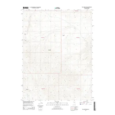
2014 Map of Fish Creek Basin
USGS Topo · Published 2014About this map
Fish Creek Mountains dominate this high-desert landscape in Lander County, dividing the terrain into distinct catchments and basins. This 2014 survey reveals a network of intermittent watercourses, including Daisy Cr and Fish Cr, which navigate the steep elevation changes of the Great Basin. The cartography provides precise detail for hikers and geologists tracing the pass between the ridges at Daisy Pass, an area where the elevation reaches over 7,400 feet before descending into the broad Fish Creek Basin to the east.
Find a feature on this map
13 named features on this map. Tap any name to fly to it.
Don’t see what you’re looking for? This feature index may not catch every label — zoom into the map to look around manually.
Map Details
Editions of this 2014 Fish Creek Basin Map
This is the sole edition of this map. No revisions or reprints were ever made.
Other maps of this area

1932 · Sonoma Range
USGS Topo · 1:250,000

1939 · Sonoma Range
USGS Topo · 1:250,000

1955 · Winnemucca
USGS Topo · 1:250,000

1958 · Winnemucca
USGS Topo · 1:250,000

1961 · McCoy
USGS Topo · 1:62,500

1961 · The Cedars
USGS Topo · 1:62,500

1961 · Mt. Moses
USGS Topo · 1:62,500

1962 · Winnemucca
USGS Topo · 1:250,000

1962 · Buffalo Springs
USGS Topo · 1:62,500

1982 · Fish Creek Mts
USGS Topo · 1:100,000