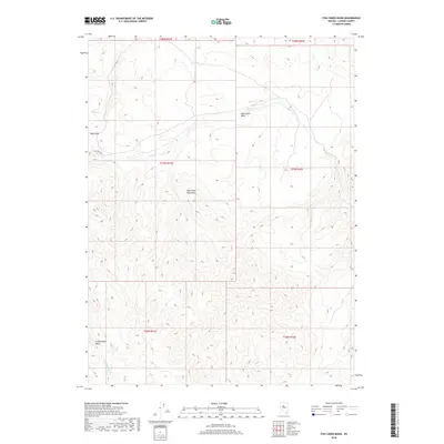
2018 Map of Fish Creek Basin
USGS Topo · Published 2018About this map
The Fish Creek Mountains dominate this high-desert landscape in Lander County, defining a complex topography of ridges and drainages. The central Fish Creek Basin serves as a natural catchment for seasonal flows from Fish Cr, while the southwestern portion of the map is shaped by the Cottonwood Basin and the headwaters of Cottonwood Cr. Human transit through this remote terrain is marked by Fish Creek Rd, which skirts the base of the peaks, and the passage at Daisy Pass near Daisy Cr in the northwest. This 2018 survey detail provides a clear look at the Public Land Survey System grid across multiple townships, illustrating the vast open-range character of the Great Basin interior.
Find a feature on this map
14 named features on this map. Tap any name to fly to it.
Don’t see what you’re looking for? This feature index may not catch every label — zoom into the map to look around manually.
Map Details
Editions of this 2018 Fish Creek Basin Map
This is the sole edition of this map. No revisions or reprints were ever made.
Other maps of this area

1932 · Sonoma Range
USGS Topo · 1:250,000

1939 · Sonoma Range
USGS Topo · 1:250,000

1955 · Winnemucca
USGS Topo · 1:250,000

1958 · Winnemucca
USGS Topo · 1:250,000

1961 · McCoy
USGS Topo · 1:62,500

1961 · The Cedars
USGS Topo · 1:62,500

1961 · Mt. Moses
USGS Topo · 1:62,500

1962 · Winnemucca
USGS Topo · 1:250,000

1962 · Buffalo Springs
USGS Topo · 1:62,500

1982 · Fish Creek Mts
USGS Topo · 1:100,000