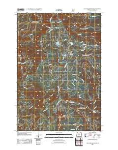
2011 Map of Fish Creek Mountain
USGS Topo · Published 2011About this map
The Clackamas River watershed defines this 2011 survey, showing a landscape shaped by hydrology and forest management in the Cascade Range. The settlement of Ripplebrook serves as a central point for access to the surrounding forest, situated near Ripplebrook Pond and the aptly named Nowhere Meadow. This area is notable for its concentration of alpine lakes, including Timber Lake, Surprise Lake, and Frog Lake, which dot the drainages of Whale Creek and Bull Creek.
Find a feature on this map
43 named features on this map. Tap any name to fly to it.
Don’t see what you’re looking for? This feature index may not catch every label — zoom into the map to look around manually.
Map Details
Editions of this 2011 Fish Creek Mountain Map
This is the sole edition of this map. No revisions or reprints were ever made.
Other maps of this area

1916 · Estacada
USGS Topo · 1:125,000

1924 · Mount Hood
USGS Topo · 1:125,000

1927 · Mount Hood
USGS Topo · 1:125,000

1927 · Mt. Jefferson
USGS Topo · 1:125,000

1929 · Mill City
USGS Topo · 1:125,000

1930 · Mt. Jefferson
USGS Topo · 1:125,000

1948 · Vancouver
USGS Topo · 1:250,000

1950 · Vancouver
USGS Topo · 1:250,000

1950 · Vancouver
USGS Topo · 1:250,000

1953 · Salem
USGS Topo · 1:250,000