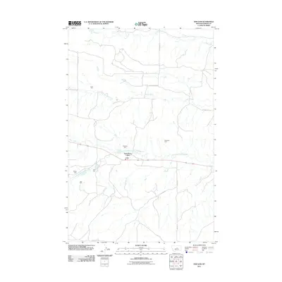
2011 Map of Fish Dam
USGS Topo · Published 2011About this map
Ayers Ranch Colony serves as a central hub in this Fergus County landscape, where the management of water resources is paramount to the local ranching economy. The map reveals an intricate network of drainage and water storage, with the North Fork McDonald Creek and Chippewa Creek cutting through the terrain. A series of small-scale infrastructure projects are visible, including the namesake Fish Dam, along with Ford Dam, Red Dam, and the Ruseteum Dam. These features highlight the importance of irrigation and livestock watering in this part of Montana. The Cheadle Fire Dist provides essential emergency services for the community, which is connected by a web of rural routes like Ruuton RD and Fords Creek RD.
Find a feature on this map
20 named features on this map. Tap any name to fly to it.
Don’t see what you’re looking for? This feature index may not catch every label — zoom into the map to look around manually.
Map Details
Editions of this 2011 Fish Dam Map
This is the sole edition of this map. No revisions or reprints were ever made.
Other maps of this area

1889 · Big Snowy Mountain
USGS Topo · 1:250,000

1893 · Big Snowy Mountain
USGS Topo · 1:250,000

1941 · Judith Peak
USGS Topo · 1:62,500

1944 · Judith Peak
USGS Topo · 1:62,500

1954 · Roundup
USGS Topo · 1:250,000

1954 · Lewistown
USGS Topo · 1:250,000

1958 · Roundup
USGS Topo · 1:250,000

1959 · Lewistown
USGS Topo · 1:250,000

1970 · Forestgrove
USGS Topo · 1:24,000

1978 · Lewistown
USGS Topo · 1:100,000