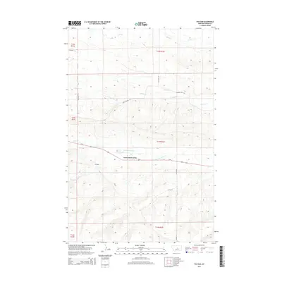
2014 Map of Fish Dam
USGS Topo · Published 2014About this map
Ayers Ranch Colony sits at the heart of this Fergus County landscape, positioned where Us-87 traverses the drainage of N Fork McDonald Cr. This 2014 survey reveals a region defined by its watercourses and ranching infrastructure, with numerous creeks including Alkali Cr, Chippewa Cr, and Fords Cr cutting through the terrain. The presence of the namesake Fish Dam landmark reflects the essential role of water management in this high plains environment.
Find a feature on this map
19 named features on this map. Tap any name to fly to it.
Don’t see what you’re looking for? This feature index may not catch every label — zoom into the map to look around manually.
Map Details
Editions of this 2014 Fish Dam Map
This is the sole edition of this map. No revisions or reprints were ever made.
Other maps of this area

1889 · Big Snowy Mountain
USGS Topo · 1:250,000

1893 · Big Snowy Mountain
USGS Topo · 1:250,000

1941 · Judith Peak
USGS Topo · 1:62,500

1944 · Judith Peak
USGS Topo · 1:62,500

1954 · Roundup
USGS Topo · 1:250,000

1954 · Lewistown
USGS Topo · 1:250,000

1958 · Roundup
USGS Topo · 1:250,000

1959 · Lewistown
USGS Topo · 1:250,000

1970 · Forestgrove
USGS Topo · 1:24,000

1978 · Lewistown
USGS Topo · 1:100,000