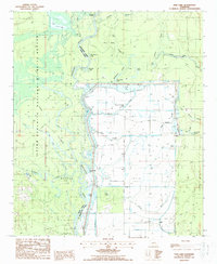
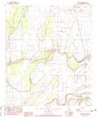
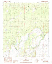
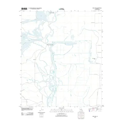
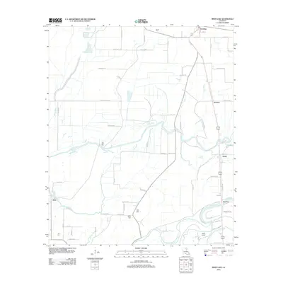
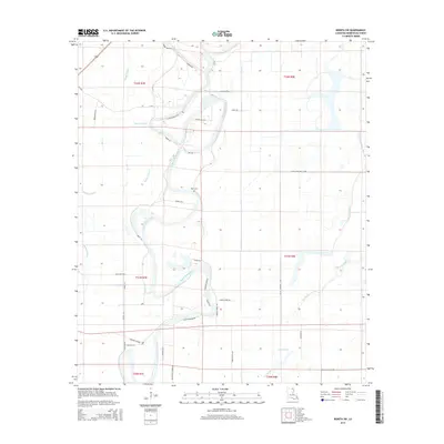
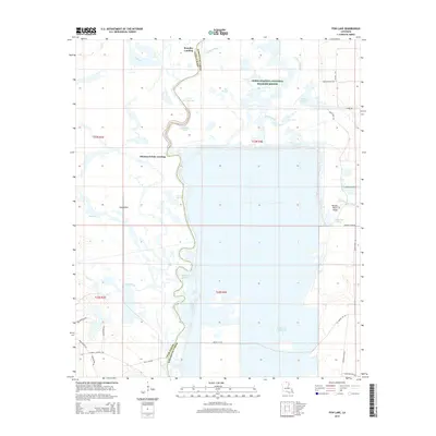
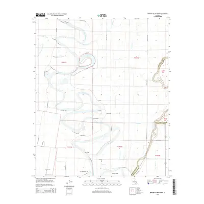
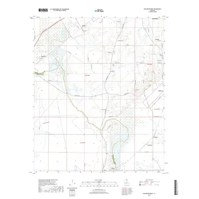
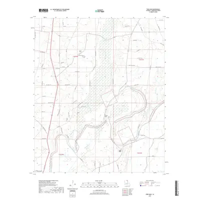
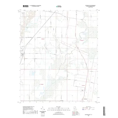
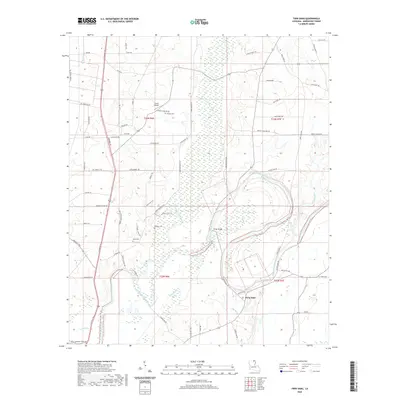
1987 Map of Fish Lake
USGS Topo · Published 1988About this map
The Quachita River winds along the boundary of Morehouse and Union Parishes, defining a landscape dominated by the Upper Ouachita National Wildlife Refuge. This late 1980s survey captures a wilderness of sloughs, brakes, and oxbows, where human presence is largely limited to industrial and recreational outposts like Haggerty Camp and Brantley Landing. The terrain is characterized by low-lying wetlands such as White Brake and Hog Slough, punctuated by slightly elevated features like Shiloh Ridge and Hog Ridge.
Find a feature on this map
45 named features on this map. Tap any name to fly to it.
Don’t see what you’re looking for? This feature index may not catch every label — zoom into the map to look around manually.
Map Details
Editions of this 1987 Fish Lake Map
This is the sole edition of this map. No revisions or reprints were ever made.
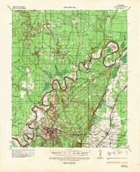
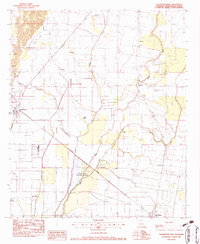
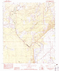
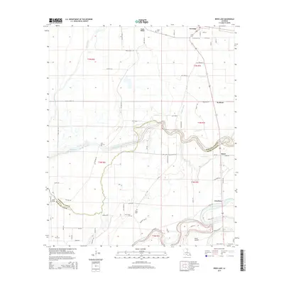
Historical Maps of Thirteen Points Landing Through Time
56 maps found
1935 Naff
Morehouse Parish, LA
1982 Collinston East
Morehouse Parish, LA
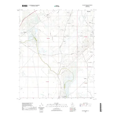
1982 Collinston West
Morehouse Parish, LA
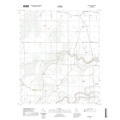
1982 Irwin Lake
Morehouse Parish, LA
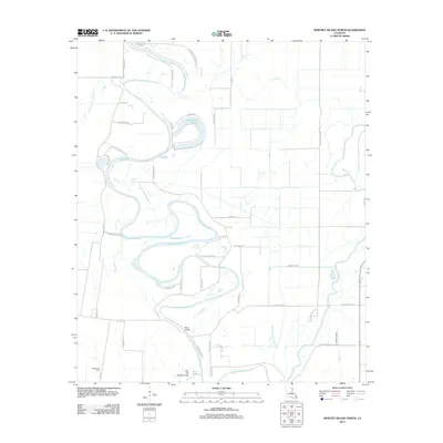
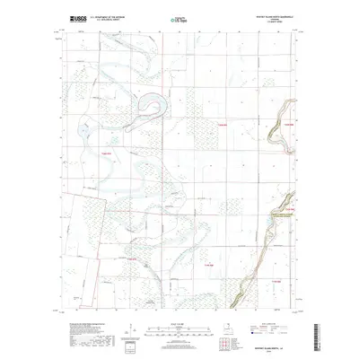
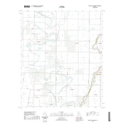
1986 Whitney Island North
Morehouse Parish, LA
1987 Fish Lake
Morehouse Parish, LA
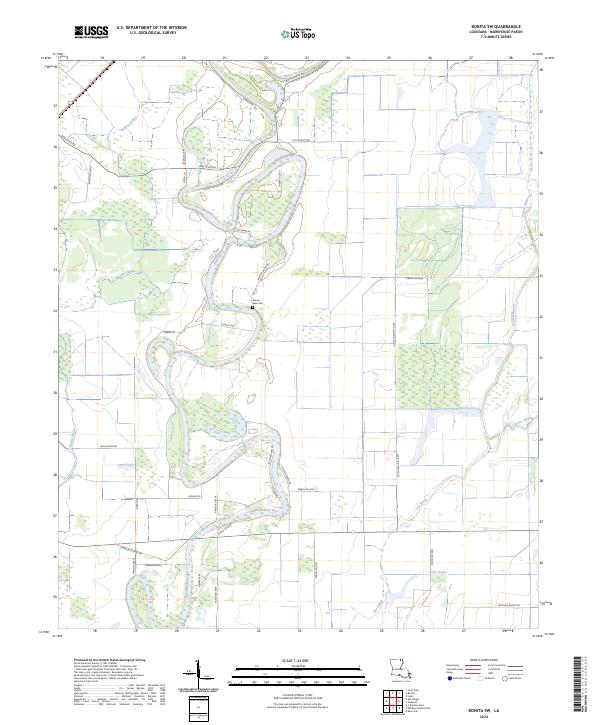
1988 Bonita SW
Morehouse Parish, LA
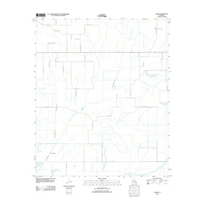
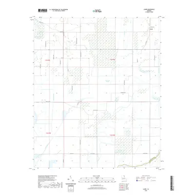
1988 Laark
Morehouse Parish, LA
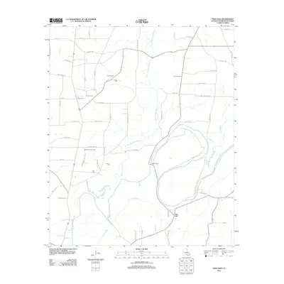
1988 Twin Oaks
Morehouse Parish, LA
1994 Collinston West
Morehouse Parish, LA
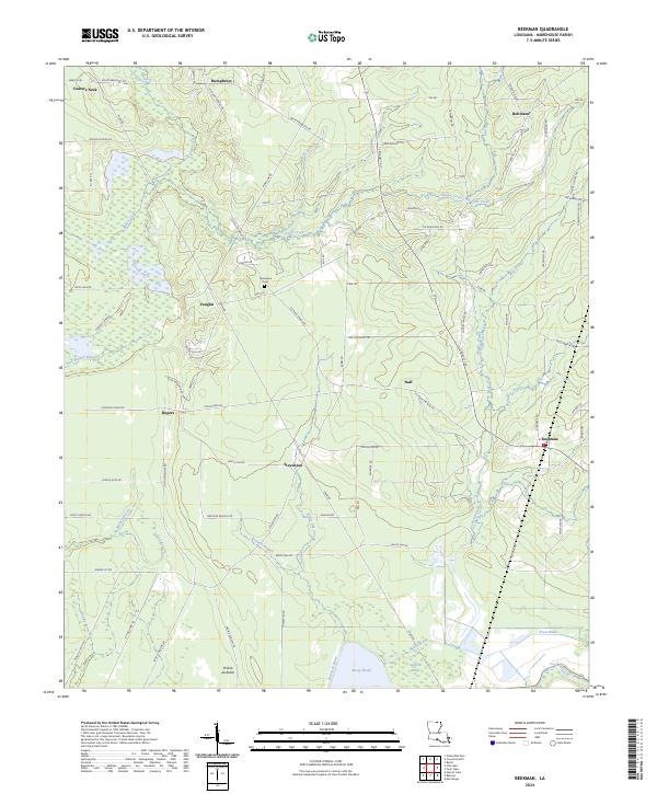
1998 Beekman
Morehouse Parish, LA
2012 Beekman
Morehouse Parish, LA
2012 Bonita SW
Morehouse Parish, LA
2012 Collinston East
Morehouse Parish, LA
2012 Collinston West
Morehouse Parish, LA
2012 Fish Lake
Morehouse Parish, LA
2012 Irwin Lake
Morehouse Parish, LA
2012 Laark
Morehouse Parish, LA
2012 Twin Oaks
Morehouse Parish, LA
2012 Whitney Island North
Morehouse Parish, LA
2015 Beekman
Morehouse Parish, LA
2015 Bonita SW
Morehouse Parish, LA
2015 Collinston East
Morehouse Parish, LA
2015 Collinston West
Morehouse Parish, LA
2015 Fish Lake
Morehouse Parish, LA
2015 Irwin Lake
Morehouse Parish, LA
2015 Laark
Morehouse Parish, LA
2015 Twin Oaks
Morehouse Parish, LA
2015 Whitney Island North
Morehouse Parish, LA
2018 Beekman
Morehouse Parish, LA
2018 Bonita SW
Morehouse Parish, LA
2018 Collinston East
Morehouse Parish, LA
2018 Collinston West
Morehouse Parish, LA
2018 Fish Lake
Morehouse Parish, LA
2018 Irwin Lake
Morehouse Parish, LA
2018 Laark
Morehouse Parish, LA
2018 Twin Oaks
Morehouse Parish, LA
2018 Whitney Island North
Morehouse Parish, LA
2020 Beekman
Morehouse Parish, LA
2020 Bonita SW
Morehouse Parish, LA
2020 Collinston East
Morehouse Parish, LA
2020 Collinston West
Morehouse Parish, LA

2020 Fish Lake
Morehouse Parish, LA
2020 Irwin Lake
Morehouse Parish, LA
2020 Laark
Morehouse Parish, LA
2020 Twin Oaks
Morehouse Parish, LA
2020 Whitney Island North
Morehouse Parish, LA
2024 Beekman
Morehouse Parish, LA
2024 Bonita SW
Morehouse Parish, LA
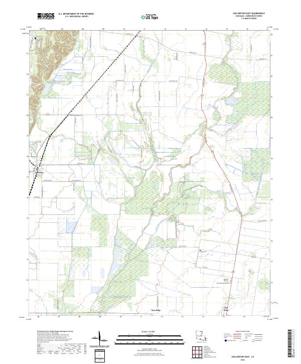
2024 Collinston East
Morehouse Parish, LA
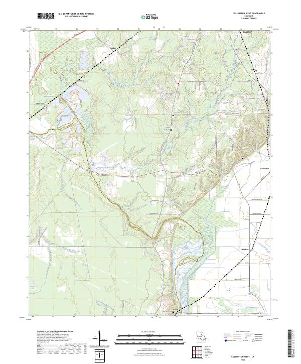
2024 Collinston West
Morehouse Parish, LA
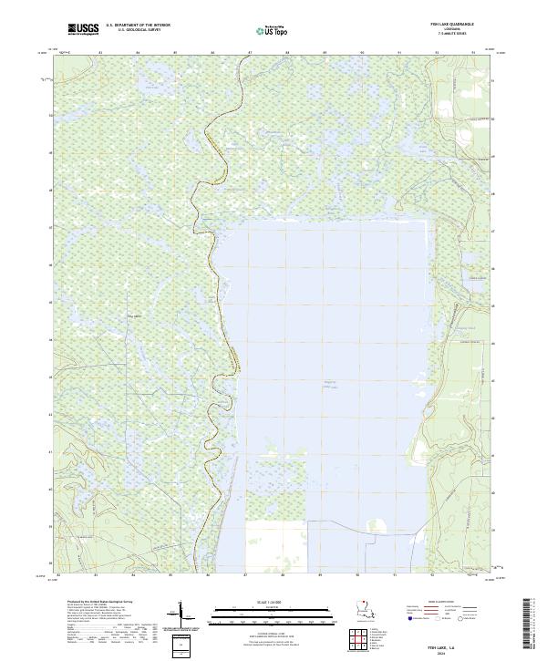
2024 Fish Lake
Morehouse Parish, LA
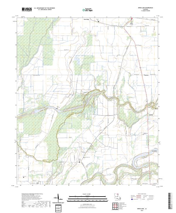
2024 Irwin Lake
Morehouse Parish, LA
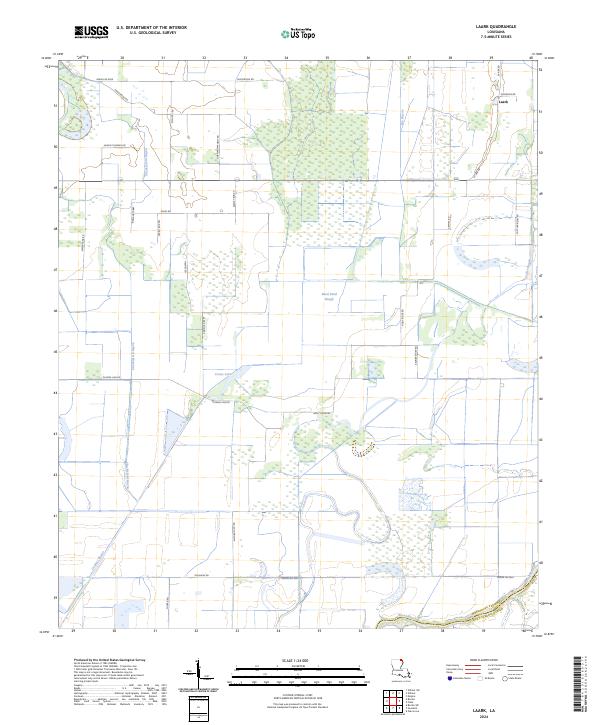
2024 Laark
Morehouse Parish, LA
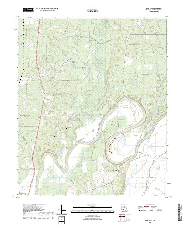
2024 Twin Oaks
Morehouse Parish, LA
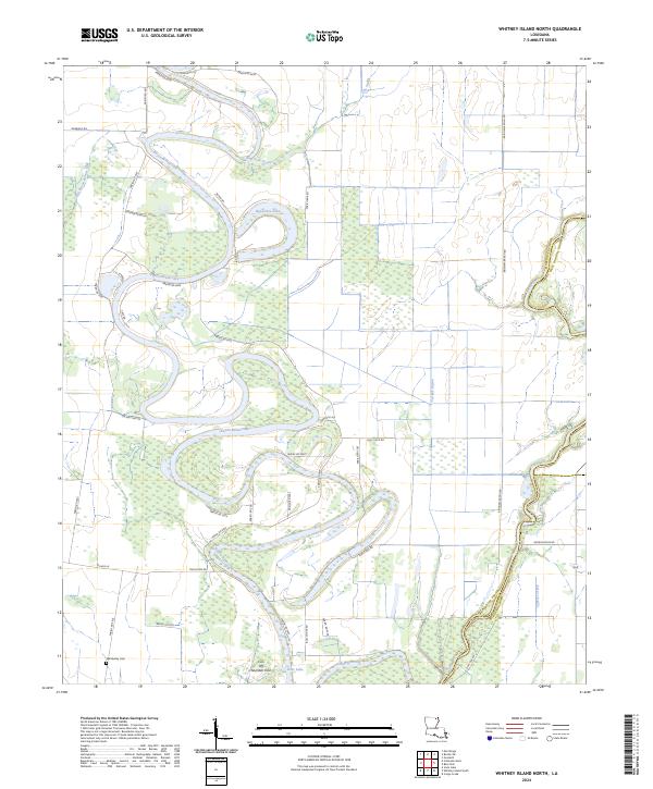
2024 Whitney Island North
Morehouse Parish, LA