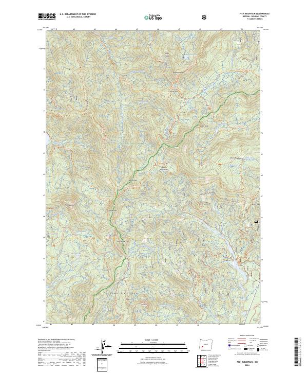
2024 Map of Fish Mountain
USGS Topo · Published 2024About this map
The Rogue Umpqua Divide Wilderness defines this section of the Cascade Range, where high-elevation landmarks like Rattlesnake Mtn and Hershberger Mtn tower over a complex network of forest trails. The landscape is characterized by its dramatic geological transitions, from the sheer Devils Slide and Castle Rock to the distinctively named Hole in the Ground. These features sit at the intersection of the Umpqua National Forest and Rogue River National Forest, reflecting a region managed for both wilderness preservation and recreational access.
Find a feature on this map
68 named features on this map. Tap any name to fly to it.
Don’t see what you’re looking for? This feature index may not catch every label — zoom into the map to look around manually.
Map Details
Editions of this 2024 Fish Mountain Map
This is the sole edition of this map. No revisions or reprints were ever made.
Other maps of this area

1891 · Ashland
USGS Topo · 1:250,000

1893 · Ashland
USGS Topo · 1:250,000

1897 · Ashland
USGS Topo · 1:250,000

1917 · Diamond Lake
USGS Topo · 1:125,000

1944 · Abbott Butte
USGS Topo · 1:62,500

1947 · Abbott Butte
USGS Topo · 1:62,500

1955 · Quartz Mtn
USGS Topo · 1:62,500

1955 · Medford
USGS Topo · 1:250,000

1956 · Garwood Butte
USGS Topo · 1:62,500

1956 · Prospect
USGS Topo · 1:62,500