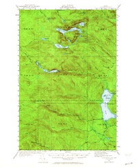
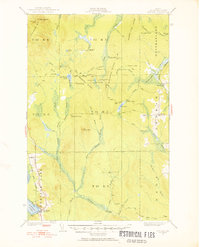
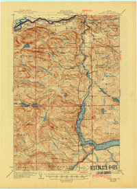
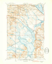
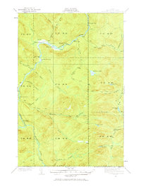
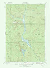
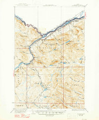
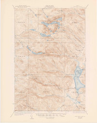
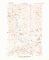
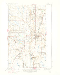
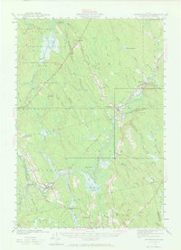
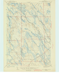
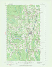
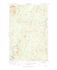
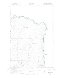
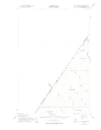
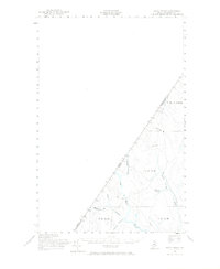
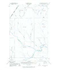
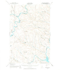
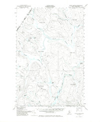
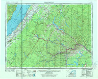
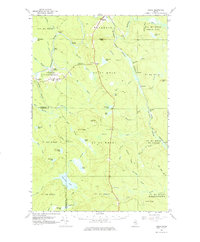
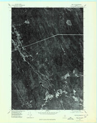
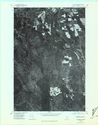
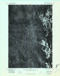
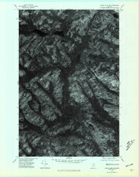
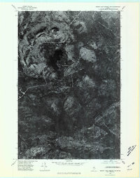
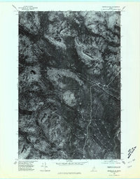
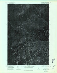
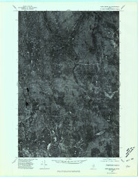
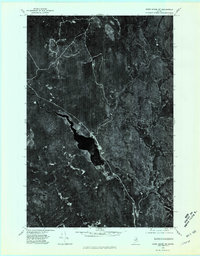
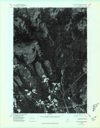
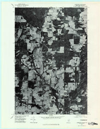
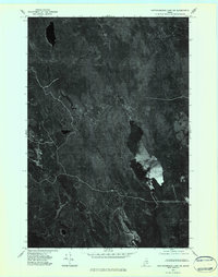
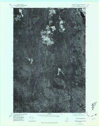
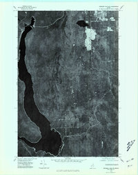
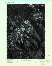
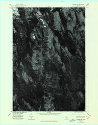
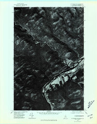
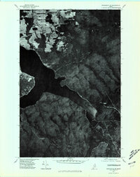
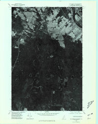
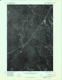
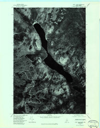
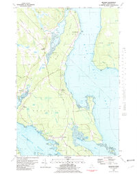
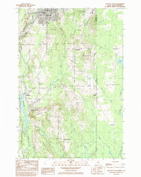
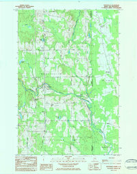
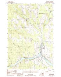
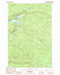
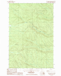
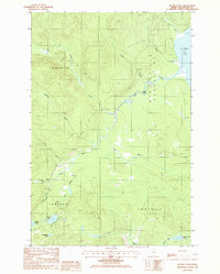
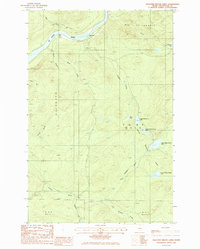
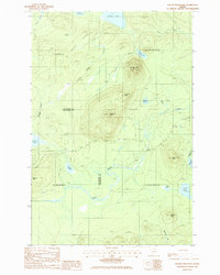
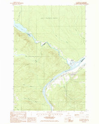
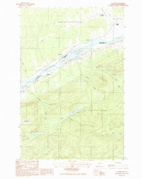
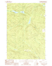
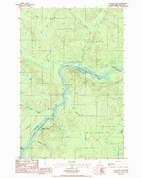
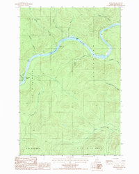
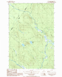
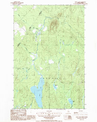
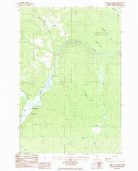
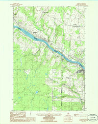
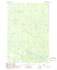
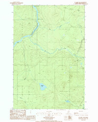
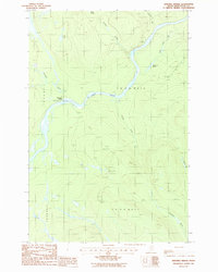
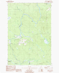
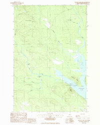
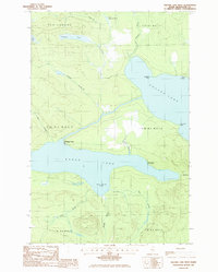
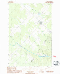
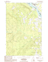
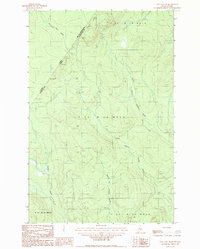
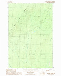
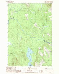
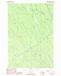
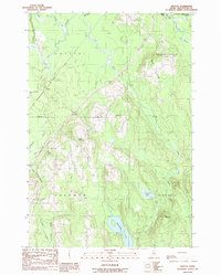
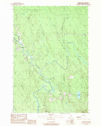
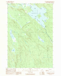
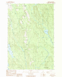
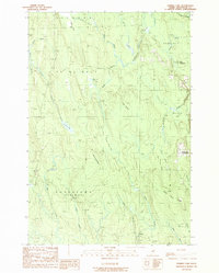
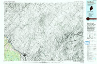
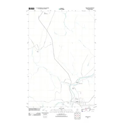
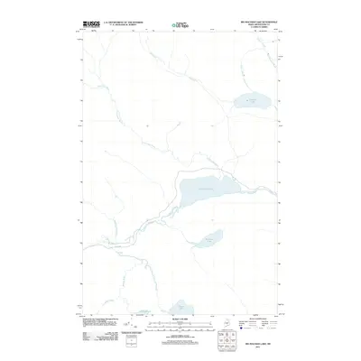
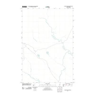
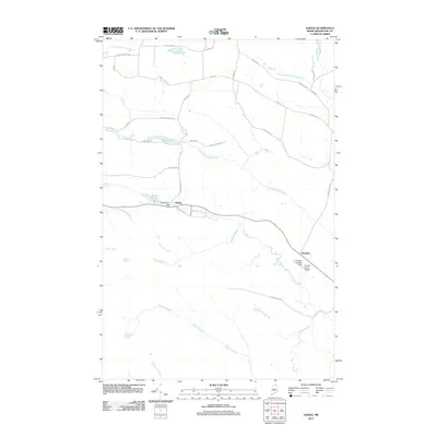
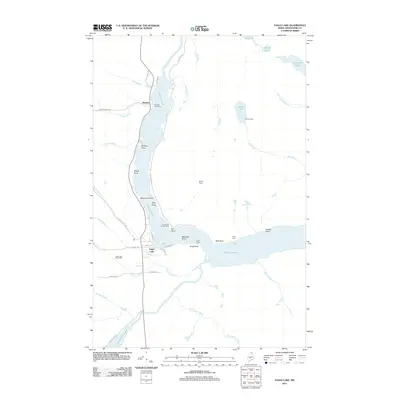
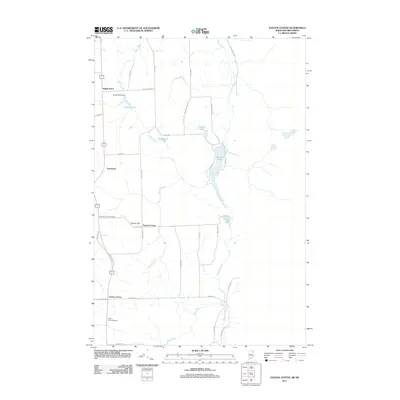
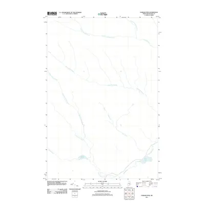
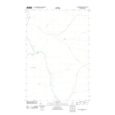
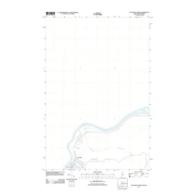
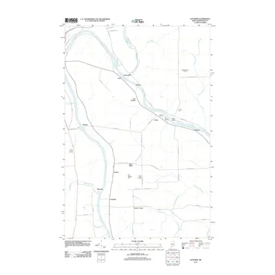
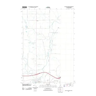
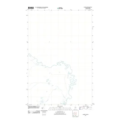
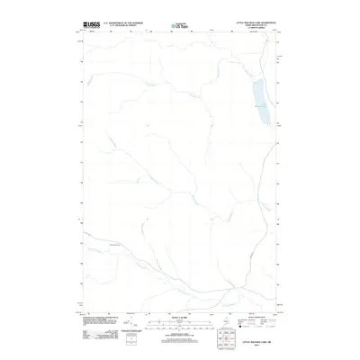
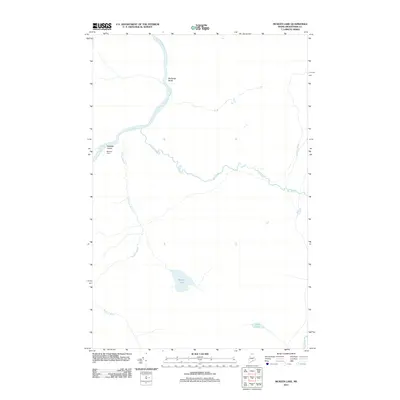
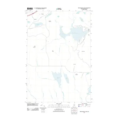
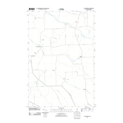
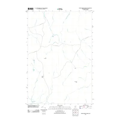
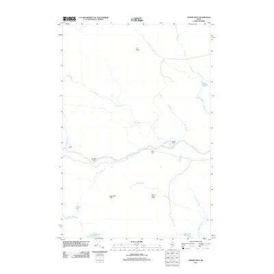
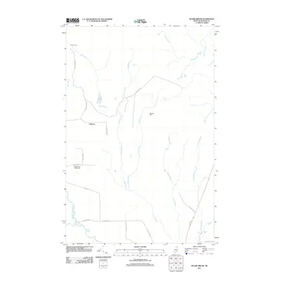
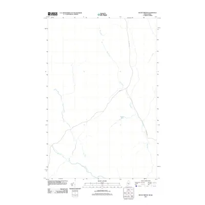
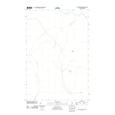
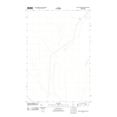
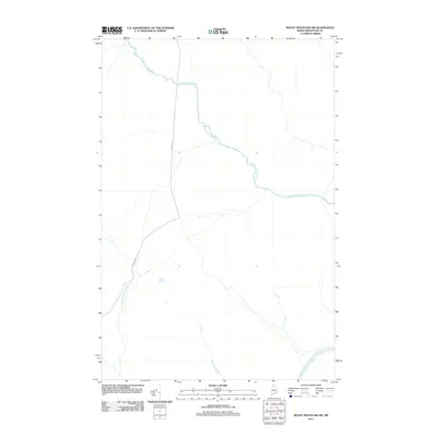
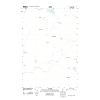
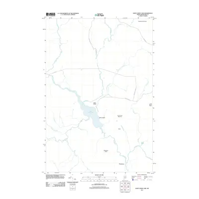
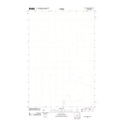
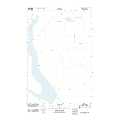
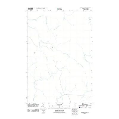
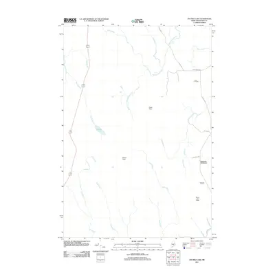
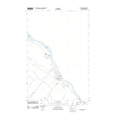
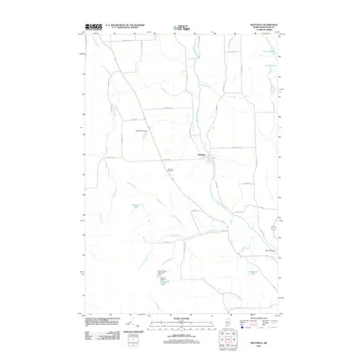
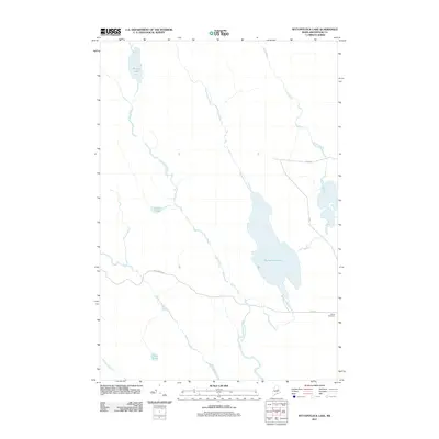
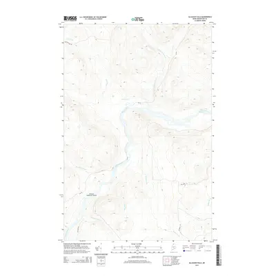
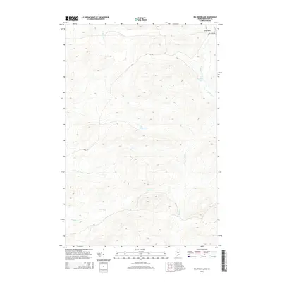
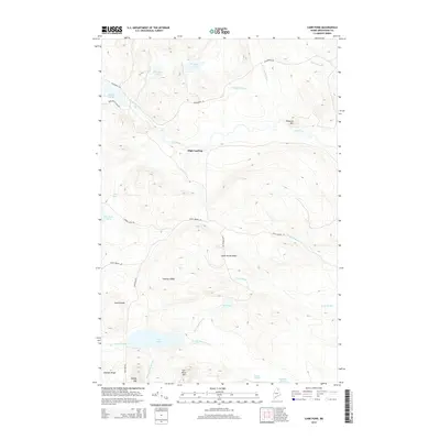
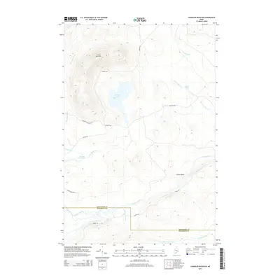
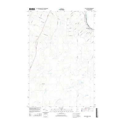
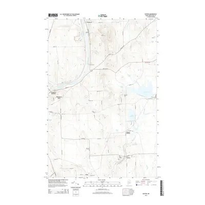
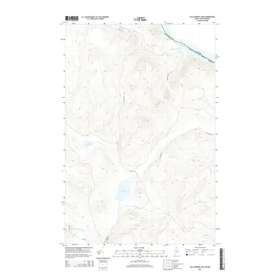
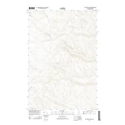
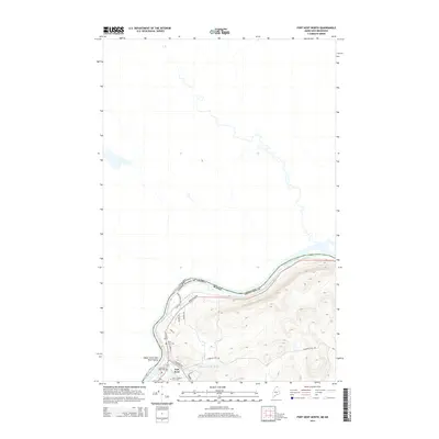
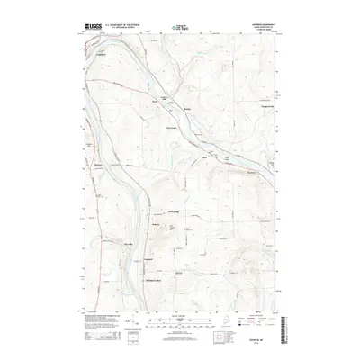
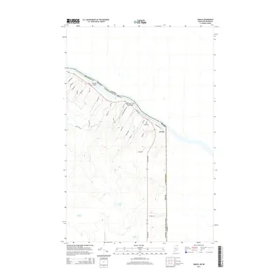
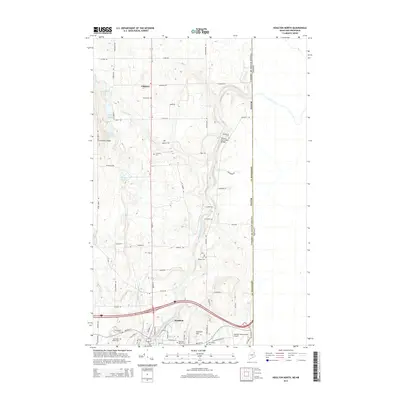
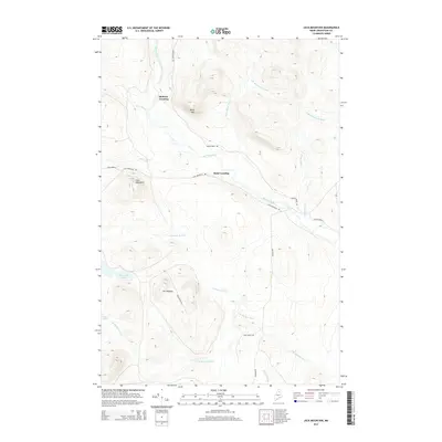
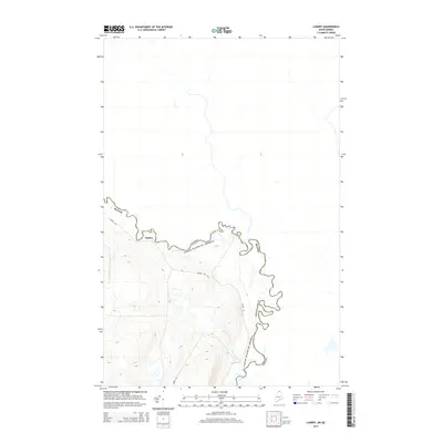
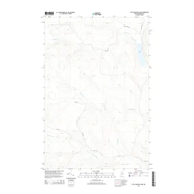
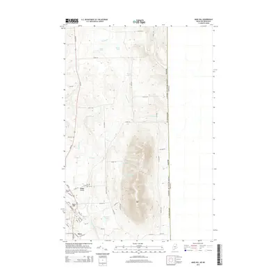
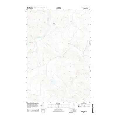
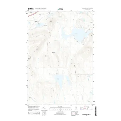
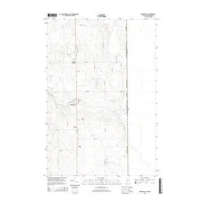
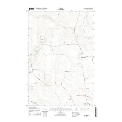
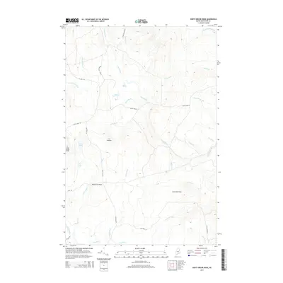
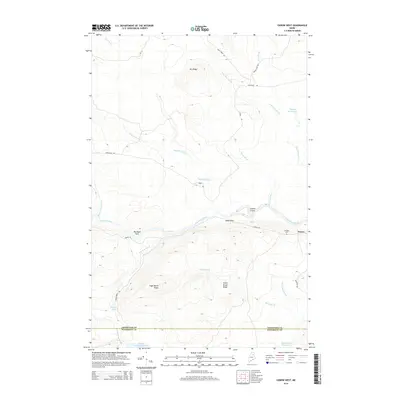
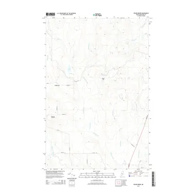
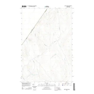
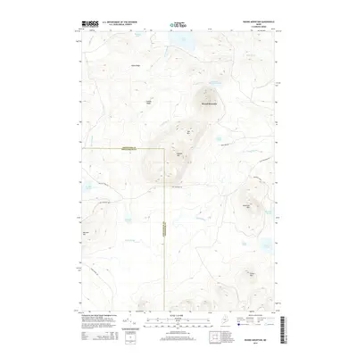
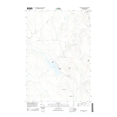
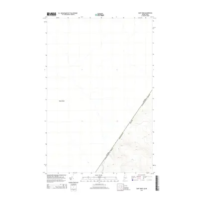
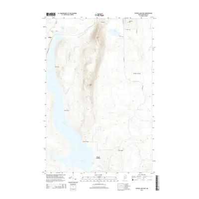
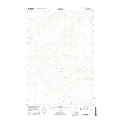
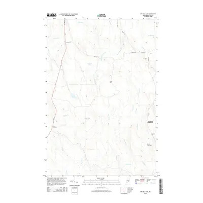
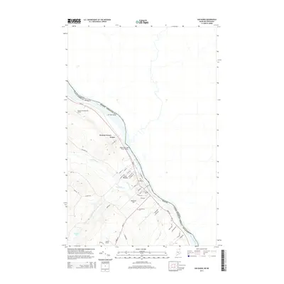
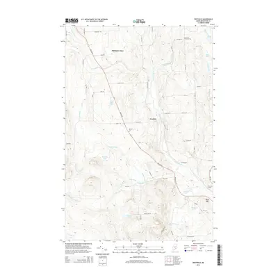
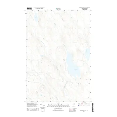
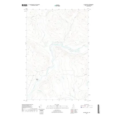
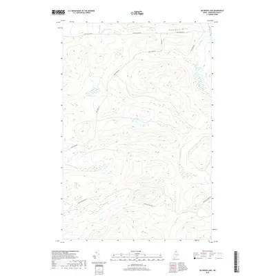
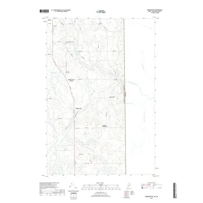
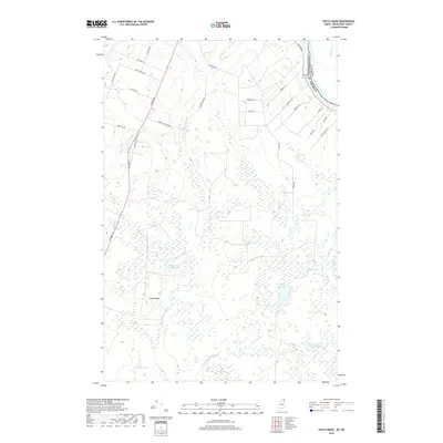
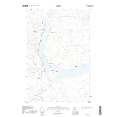
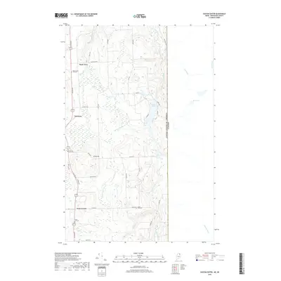
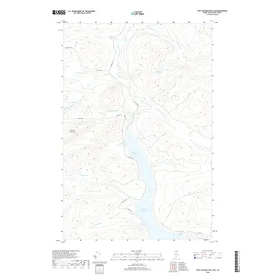
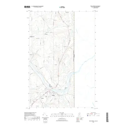
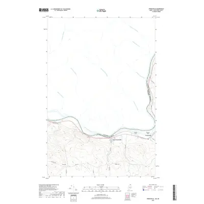
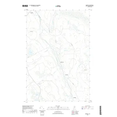
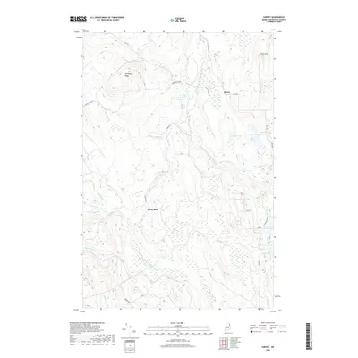
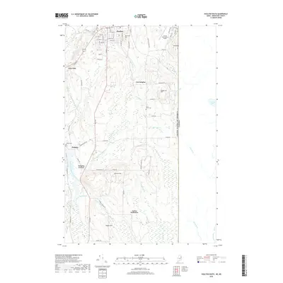
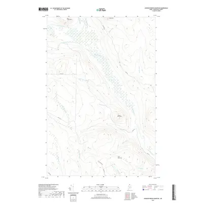
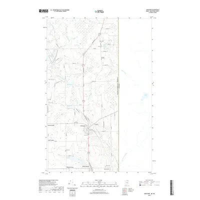
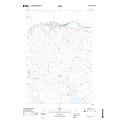
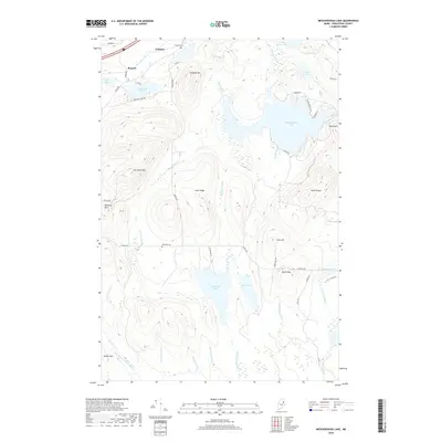
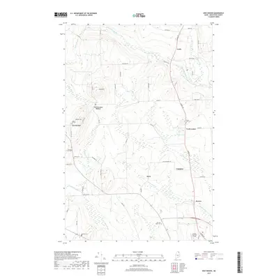
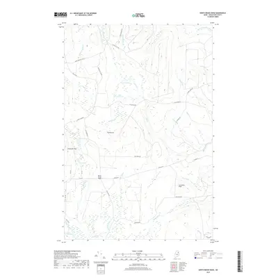
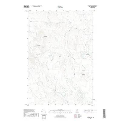
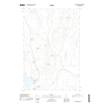
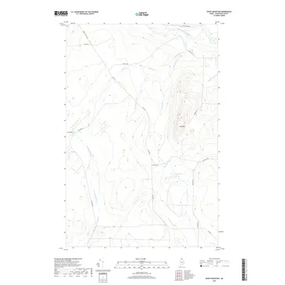
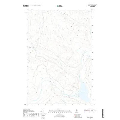
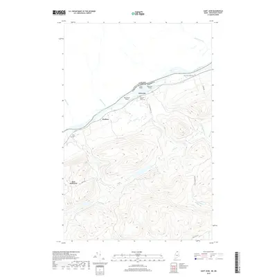
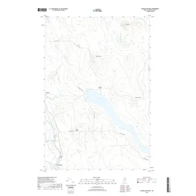
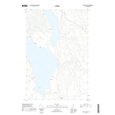
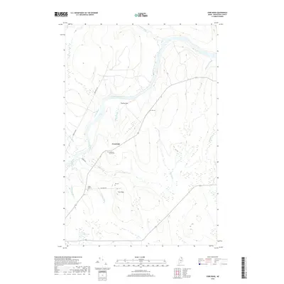
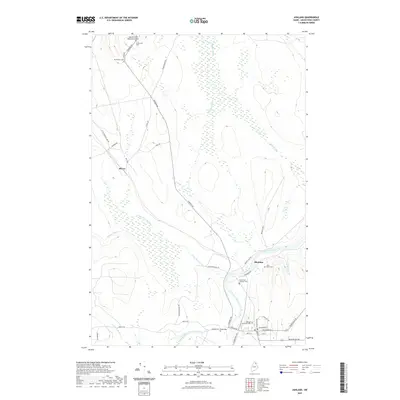
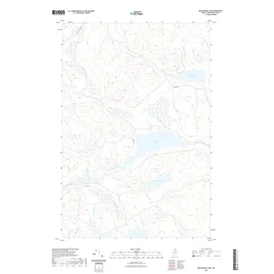
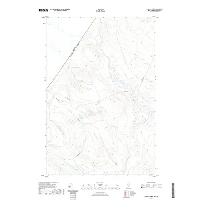
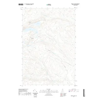
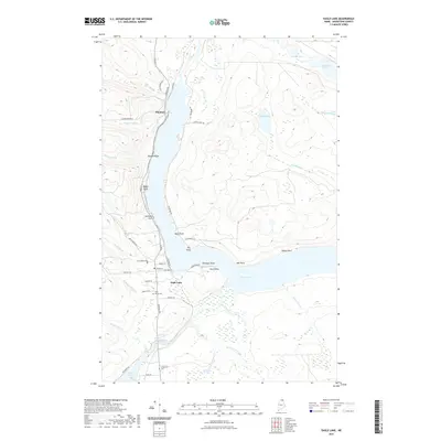
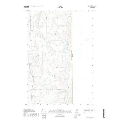
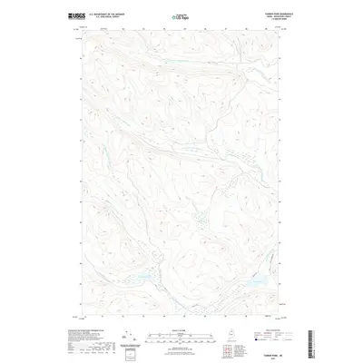
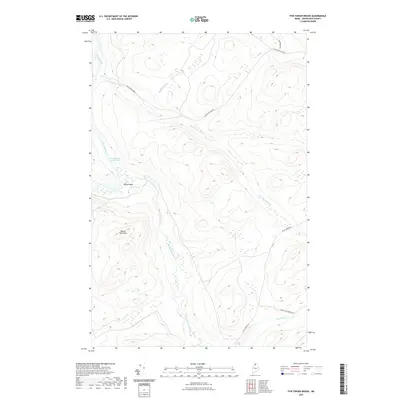
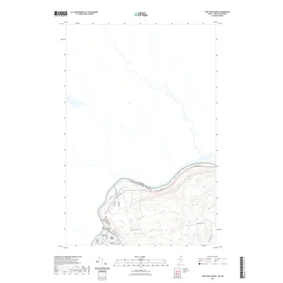
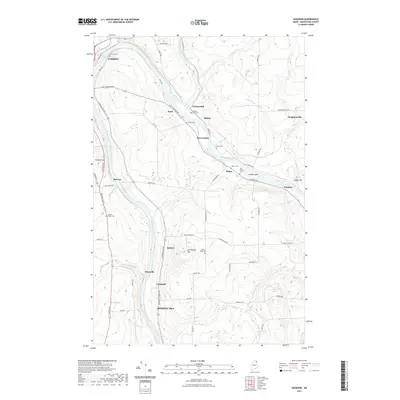
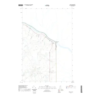
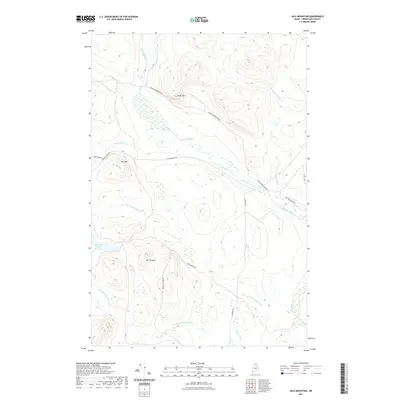
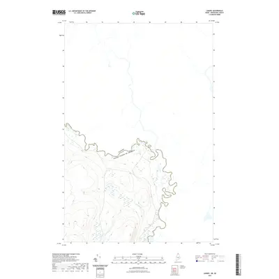
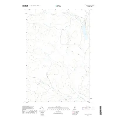
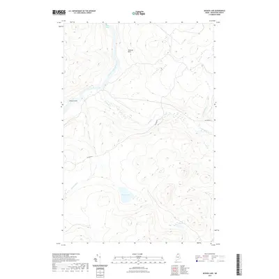
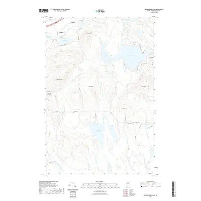
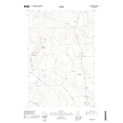
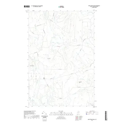
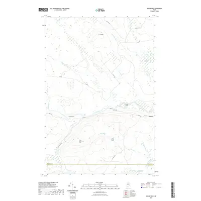
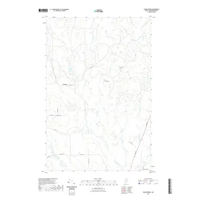
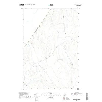
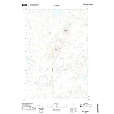
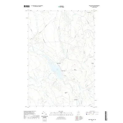
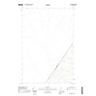
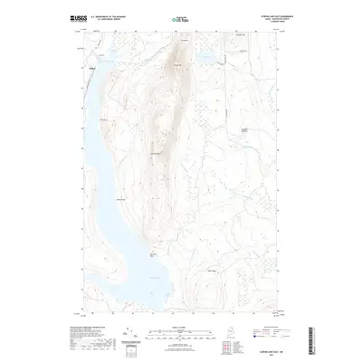
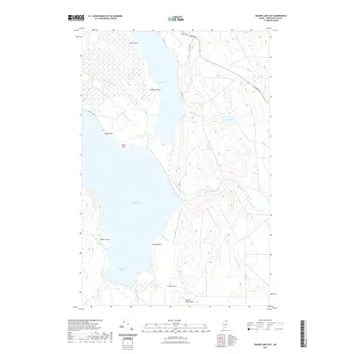
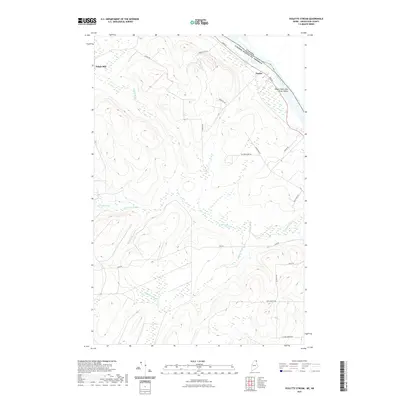
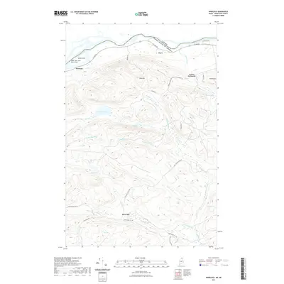
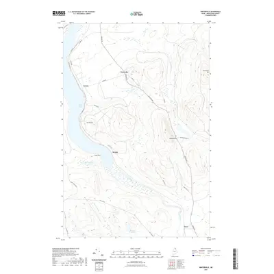
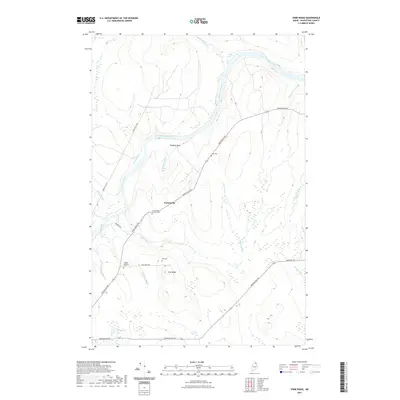
1931 Map of Fish River Lake
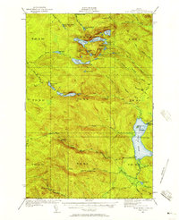
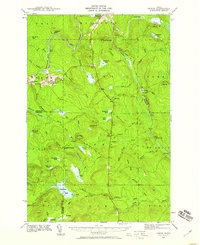
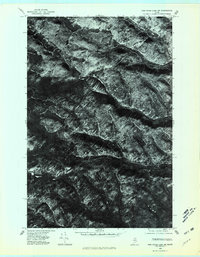
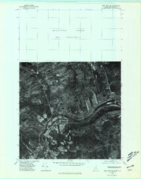
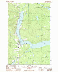
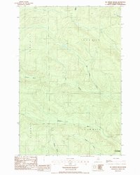
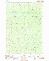
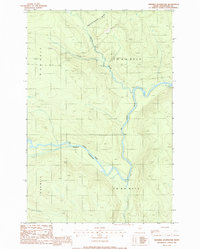
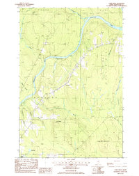
USGS Topo · Published 1964About this map
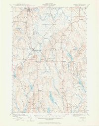
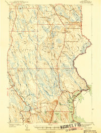
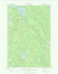
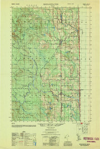
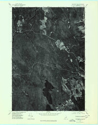
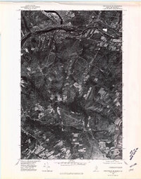
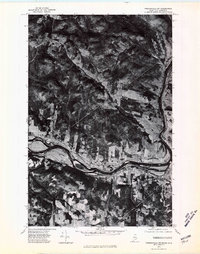
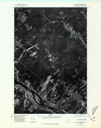
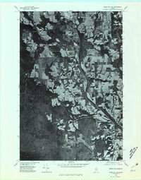
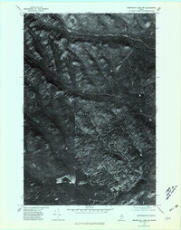
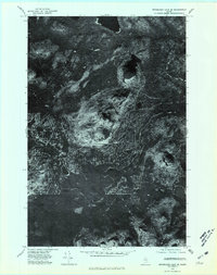
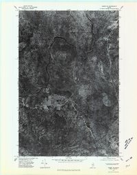
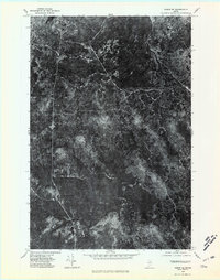
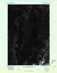
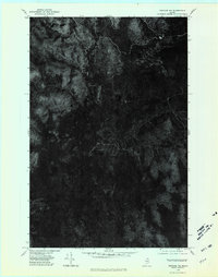
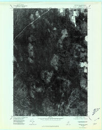
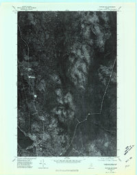
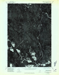
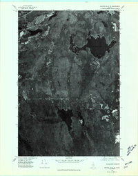
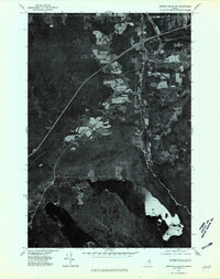
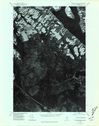
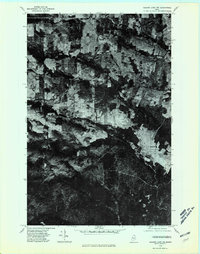
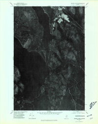
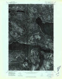
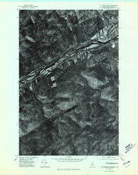
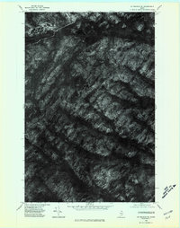
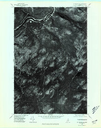
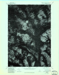
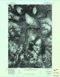
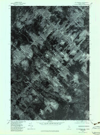
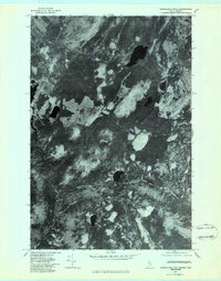
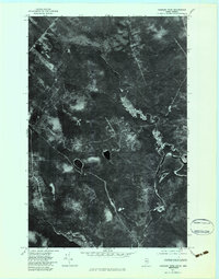
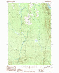
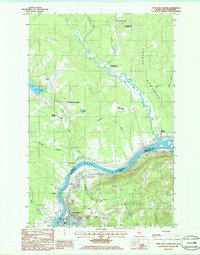
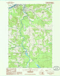
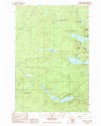
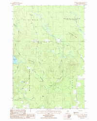
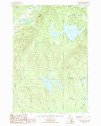
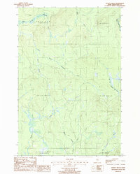
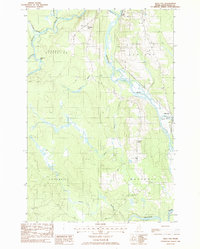
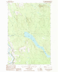
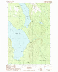
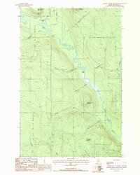
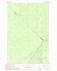
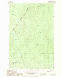
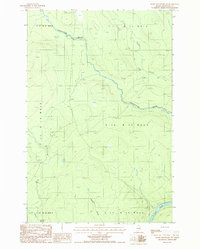
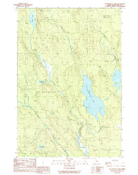
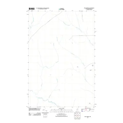
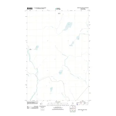
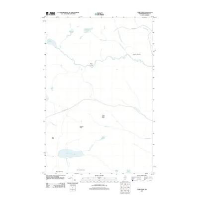
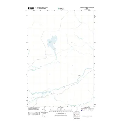
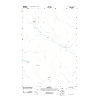
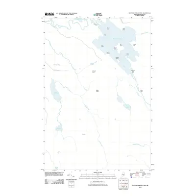
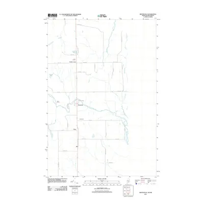
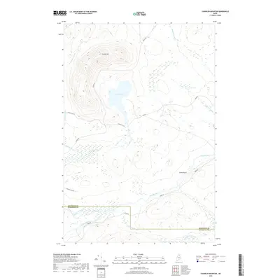
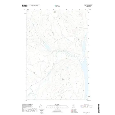
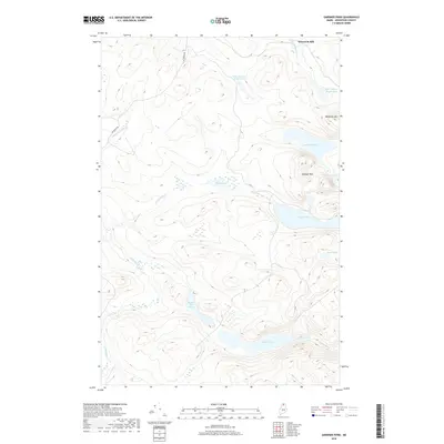
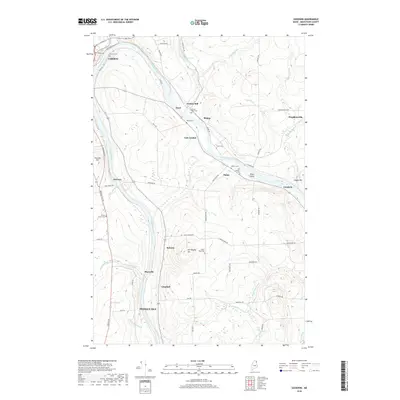
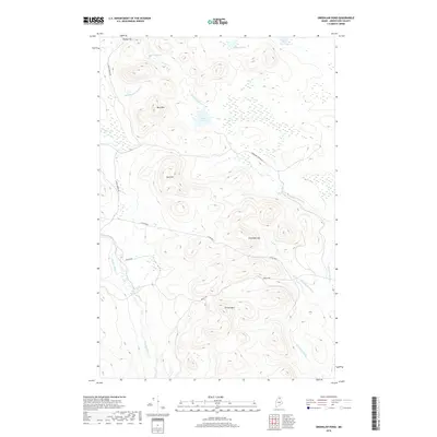
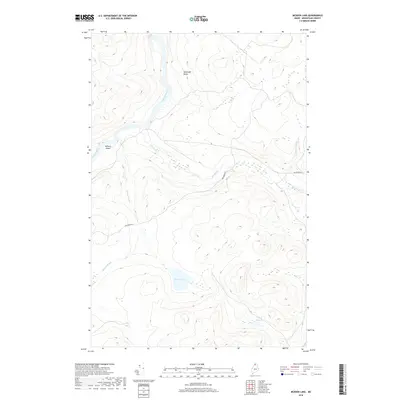
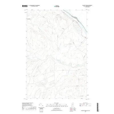
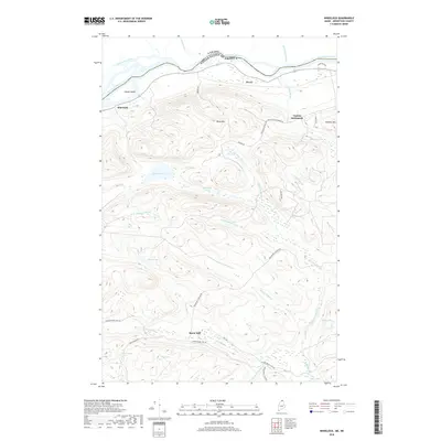
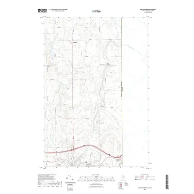
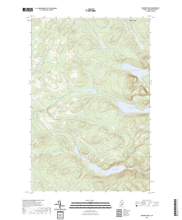
The Fish River corridor in northern Maine's backcountry is defined by a dense network of remote camps and water-powered industrial sites. Surveyed in 1931, this map captures the working landscape of the North Woods, where small-scale operations like Wheelock Mill and Michauds Mill sat at the edge of the wilderness. The geography is characterized by tight clusters of glacial ponds, including Gardner Pond and Deboullie Pond, which are overlooked by a Fire Tower on the surrounding heights.
Find a feature on this map
70 named features on this map. Tap any name to fly to it.
Don’t see what you’re looking for? This feature index may not catch every label — zoom into the map to look around manually.
Map Details
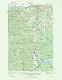
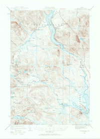
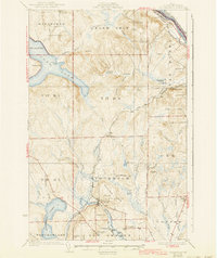
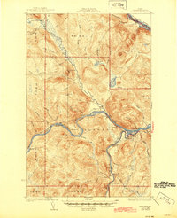
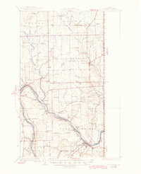
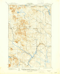
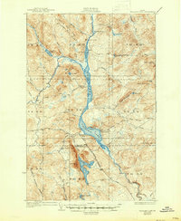
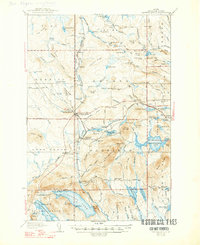
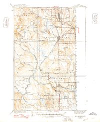
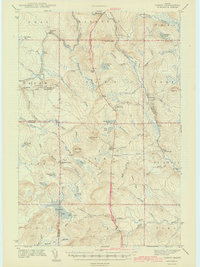
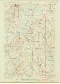
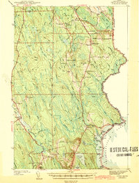
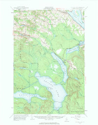
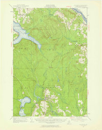
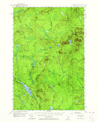
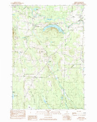
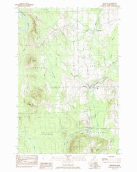
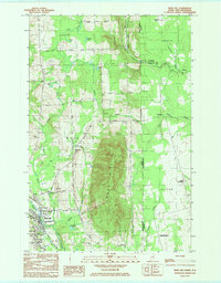
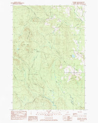
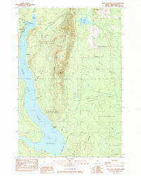
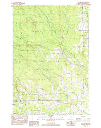
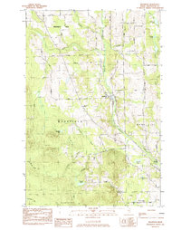
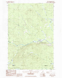
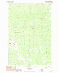
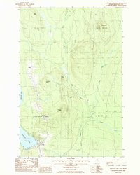
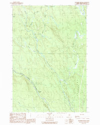
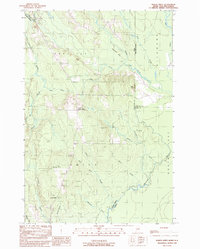
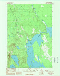
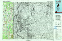
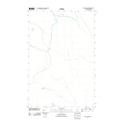
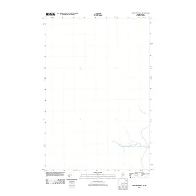
Editions of this 1931 Fish River Lake Map
4 editions found

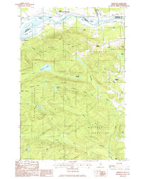
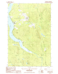
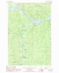
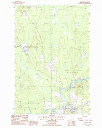
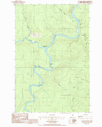
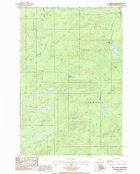
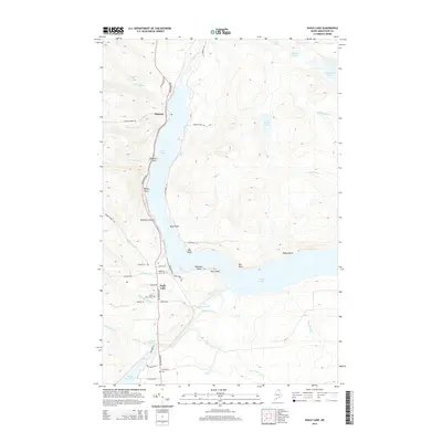
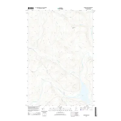
Historical Maps of T12 R9 WELS Through Time
1019 maps found

1921 Van Buren
Aroostook County, ME

1927 Square Lake
Aroostook County, ME

1927 Stockholm
Aroostook County, ME
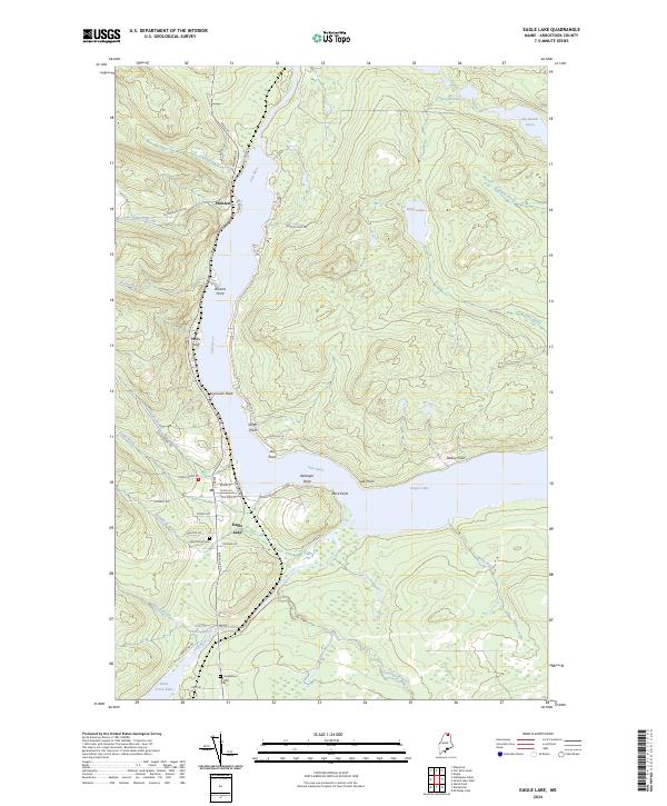
1928 Eagle Lake
Aroostook County, ME
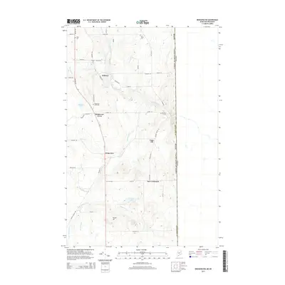
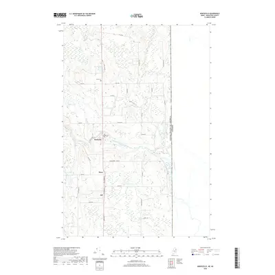
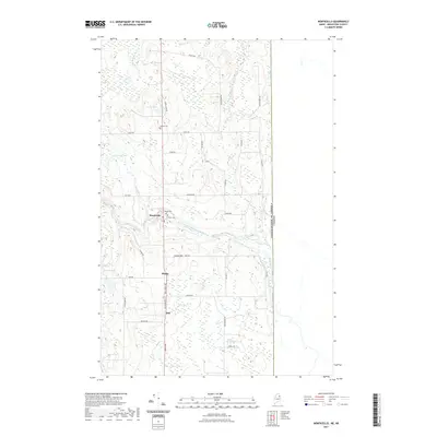
1928 Winterville
Aroostook County, ME
1929 Portage
Aroostook County, ME
1930 Allagash
Aroostook County, ME

1930 Fort Fairfield
Aroostook County, ME
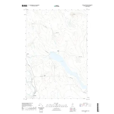
1930 Greenlaw
Aroostook County, ME
1930 St. Francis
Aroostook County, ME

1931 Ashland
Aroostook County, ME
1931 Eagle Lake
Aroostook County, ME
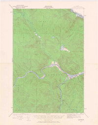
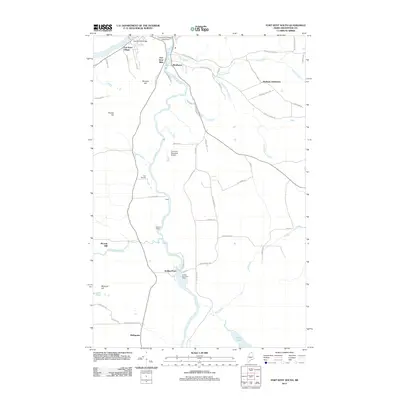
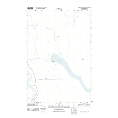
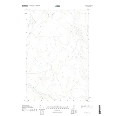
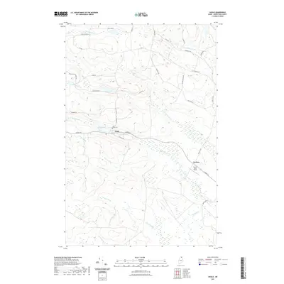
1931 Fish River Lake
Aroostook County, ME
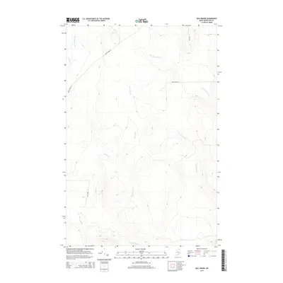
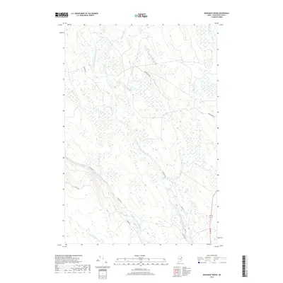
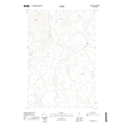
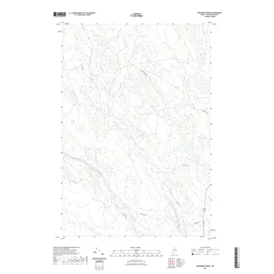
1931 Mooseleuk Lake
Aroostook County, ME
1931 Portage
Aroostook County, ME
1931 Square Lake
Aroostook County, ME
1931 Stockholm
Aroostook County, ME
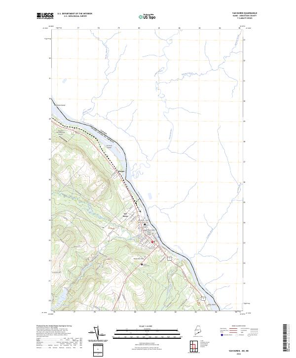
1931 Van Buren
Aroostook County, ME
1931 Winterville
Aroostook County, ME
1932 Allagash Falls
Aroostook County, ME
1932 Fort Kent
Aroostook County, ME
1932 Frenchville
Aroostook County, ME
1932 Musquacook Lakes
Aroostook County, ME
1932 Umsaskis Lake
Aroostook County, ME
1933 Allagash
Aroostook County, ME
1933 Fort Fairfield
Aroostook County, ME
1933 Greenlaw
Aroostook County, ME
1933 St. Francis
Aroostook County, ME
1934 Ashland
Aroostook County, ME

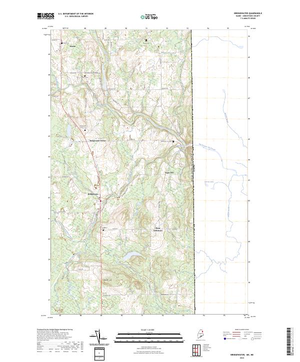
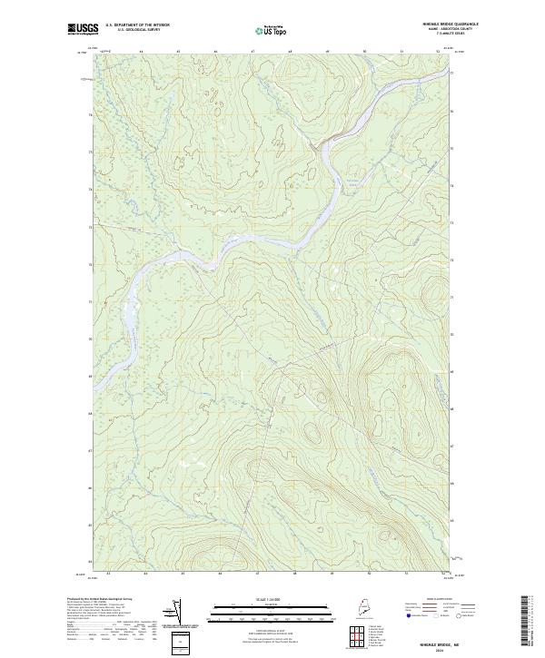
1934 Bridgewater
Aroostook County, ME
1934 Van Buren
Aroostook County, ME
1935 Allagash Falls
Aroostook County, ME
1935 Fish River Lake
Aroostook County, ME
1935 Fort Kent
Aroostook County, ME
1935 Frenchville
Aroostook County, ME

1935 Howe Brook
Aroostook County, ME
1935 Mooseleuk Lake
Aroostook County, ME
1935 Musquacook Lakes
Aroostook County, ME
1935 Umsaskis Lake
Aroostook County, ME

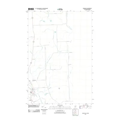
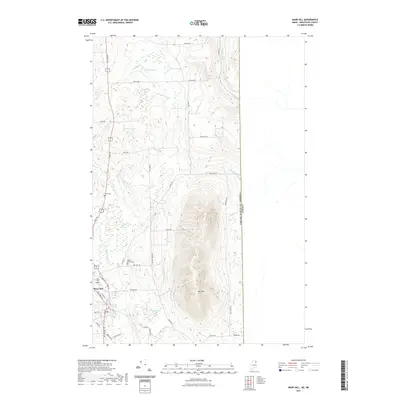
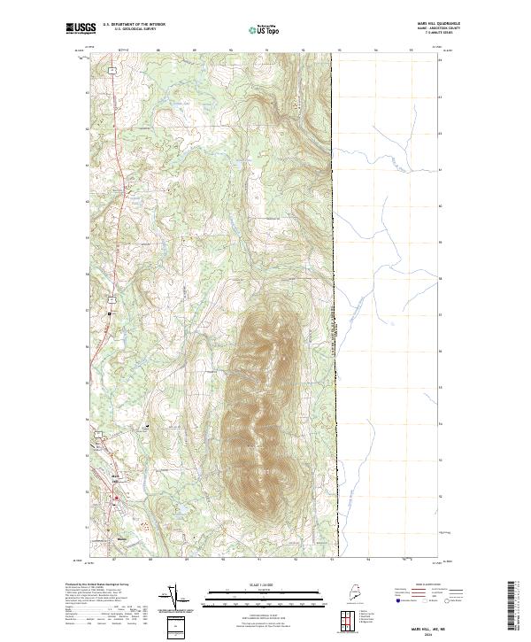
1936 Mars Hill
Aroostook County, ME
1937 Smyrna Mills
Aroostook County, ME
1938 Bridgewater
Aroostook County, ME
1938 Houlton
Aroostook County, ME
1939 Howe Brook
Aroostook County, ME
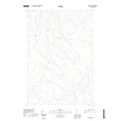
1940 Amity
Aroostook County, ME
1940 Mars Hill
Aroostook County, ME
1940 Oxbow
Aroostook County, ME
1940 Sherman
Aroostook County, ME
1941 Amity
Aroostook County, ME
1941 Mattawamkeag Lake
Aroostook County, ME
1941 Wytopitlock
Aroostook County, ME
1942 Oxbow
Aroostook County, ME
1942 Sherman
Aroostook County, ME
1943 Amity
Aroostook County, ME
1943 Mattawamkeag Lake
Aroostook County, ME
1943 Wytopitlock
Aroostook County, ME
1951 Bridgewater
Aroostook County, ME
1951 Fort Fairfield
Aroostook County, ME
1951 Houlton
Aroostook County, ME
1951 Mars Hill
Aroostook County, ME
1951 Van Buren
Aroostook County, ME
1953 Ashland
Aroostook County, ME
1953 Bridgewater
Aroostook County, ME
1953 Fort Fairfield NW
Aroostook County, ME
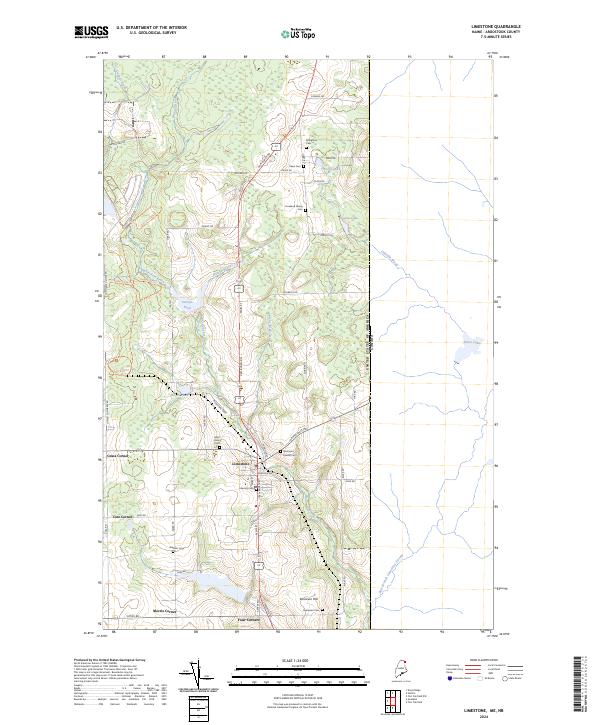
1953 Limestone
Aroostook County, ME
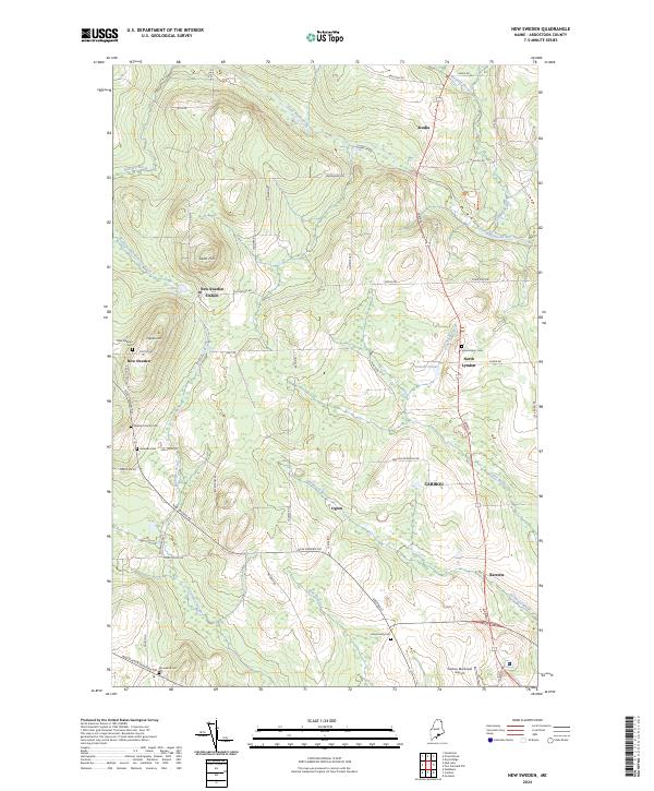
1953 New Sweden
Aroostook County, ME
1953 Portage
Aroostook County, ME
1953 Square Lake
Aroostook County, ME
1953 Stockholm
Aroostook County, ME
1954 Howe Brook
Aroostook County, ME
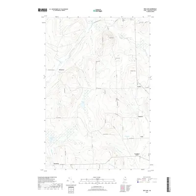
1955 Beau Lake
Aroostook County, ME
1955 Beaver Pond
Aroostook County, ME
1955 Clayton Lake
Aroostook County, ME
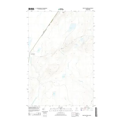
1955 Depot Lake
Aroostook County, ME
1955 Little East Lake
Aroostook County, ME
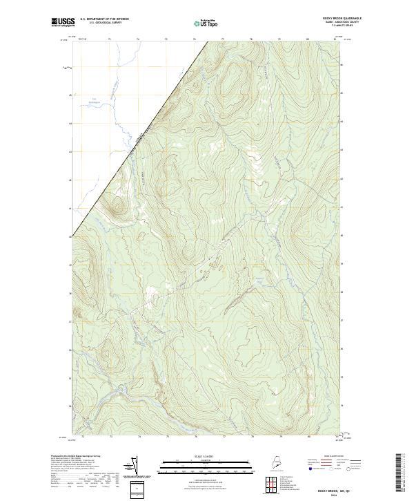
1955 Rocky Brook
Aroostook County, ME
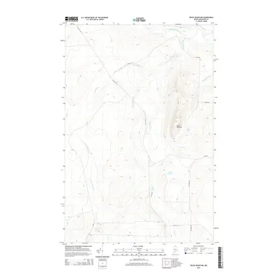
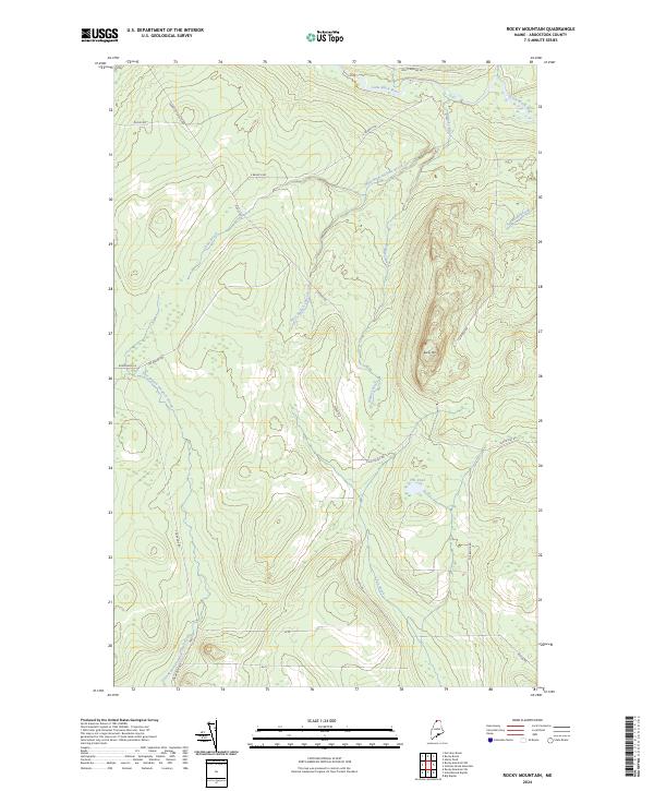
1955 Rocky Mountain
Aroostook County, ME
1955 Round Pond
Aroostook County, ME
1955 Seven Islands
Aroostook County, ME
1955 Smyrna Mills
Aroostook County, ME
1956 Allagash Falls
Aroostook County, ME
1958 Amity
Aroostook County, ME

1959 Woodstock
Aroostook County, ME
1962 Edmundston
Aroostook County, ME
1963 Campbellton
Aroostook County, ME
1963 Mooseleuk Lake
Aroostook County, ME

1963 Woodstock
Aroostook County, ME
1965 Howe Brook
Aroostook County, ME
1965 Oxbow
Aroostook County, ME
1975 Amity NE
Aroostook County, ME
1975 Amity NW
Aroostook County, ME
1975 Amity SE
Aroostook County, ME
1975 Amity SW
Aroostook County, ME
1975 Ashland NE
Aroostook County, ME
1975 Ashland NW
Aroostook County, ME
1975 Ashland SE
Aroostook County, ME
1975 Ashland SW
Aroostook County, ME
1975 Bridgewater NE
Aroostook County, ME
1975 Bridgewater NW
Aroostook County, ME
1975 Bridgewater SE
Aroostook County, ME
1975 Bridgewater SW
Aroostook County, ME
1975 Caribou NW
Aroostook County, ME
1975 Caribou SE
Aroostook County, ME
1975 Caribou SW
Aroostook County, ME
1975 Danforth NW
Aroostook County, ME
1975 Eagle Lake NE
Aroostook County, ME
1975 Eagle Lake NW
Aroostook County, ME
1975 Eagle Lake SE
Aroostook County, ME
1975 Eagle Lake SW
Aroostook County, ME
1975 Fish River Lake NE
Aroostook County, ME
1975 Fish River Lake NW
Aroostook County, ME
1975 Fish River Lake SE
Aroostook County, ME
1975 Fish River Lake SW
Aroostook County, ME
1975 Fort Fairfield NW
Aroostook County, ME
1975 Fort Fairfield SE
Aroostook County, ME
1975 Fort Fairfield SW
Aroostook County, ME
1975 Fort Kent SE
Aroostook County, ME
1975 Frenchville SE
Aroostook County, ME
1975 Frenchville SW
Aroostook County, ME
1975 Grand Isle SE
Aroostook County, ME

1975 Grand Isle SW
Aroostook County, ME

1975 Grand Lake Seboeis NE
Aroostook County, ME
1975 Grand Lake Seboeis NW
Aroostook County, ME
1975 Greenlaw NE
Aroostook County, ME
1975 Greenlaw NW
Aroostook County, ME
1975 Greenlaw SE
Aroostook County, ME
1975 Greenlaw SW
Aroostook County, ME
1975 Houlton NE
Aroostook County, ME
1975 Houlton NW
Aroostook County, ME
1975 Houlton SW
Aroostook County, ME

1975 Howe Brook NE
Aroostook County, ME
1975 Howe Brook NW
Aroostook County, ME
1975 Howe Brook SE
Aroostook County, ME
1975 Howe Brook SW
Aroostook County, ME
1975 Island Falls SE
Aroostook County, ME
1975 Limestone
Aroostook County, ME
1975 Mars Hill NE
Aroostook County, ME
1975 Mars Hill NW
Aroostook County, ME
1975 Mars Hill SE
Aroostook County, ME
1975 Mars Hill SW
Aroostook County, ME
1975 Mattawamkeag Lake NE
Aroostook County, ME
1975 Mattawamkeag Lake NW
Aroostook County, ME
1975 Mattawamkeag Lake SE
Aroostook County, ME
1975 Mattawamkeag Lake SW
Aroostook County, ME
1975 Mattawamkeag NE
Aroostook County, ME
1975 Millinocket Lake NE
Aroostook County, ME
1975 Mooseleuk Lake NE
Aroostook County, ME
1975 Mooseleuk Lake NW
Aroostook County, ME
1975 Mooseleuk Lake SE
Aroostook County, ME
1975 New Sweden
Aroostook County, ME
1975 Oxbow NE
Aroostook County, ME
1975 Oxbow NW
Aroostook County, ME
1975 Oxbow SE
Aroostook County, ME
1975 Portage NE
Aroostook County, ME
1975 Portage NW
Aroostook County, ME
1975 Portage SE
Aroostook County, ME
1975 Portage SW
Aroostook County, ME
1975 Presque Isle NE
Aroostook County, ME
1975 Presque Isle NW
Aroostook County, ME
1975 Presque Isle SE
Aroostook County, ME
1975 Presque Isle SW
Aroostook County, ME
1975 Sherman NE
Aroostook County, ME
1975 Sherman SE
Aroostook County, ME

1975 Smyrna Mills NE
Aroostook County, ME
1975 Smyrna Mills NW
Aroostook County, ME
1975 Smyrna Mills SE
Aroostook County, ME
1975 Smyrna Mills SW
Aroostook County, ME
1975 Square Lake NE
Aroostook County, ME
1975 Square Lake NW
Aroostook County, ME
1975 Square Lake SE
Aroostook County, ME
1975 Square Lake SW
Aroostook County, ME
1975 St Francis NE
Aroostook County, ME
1975 St Francis NW
Aroostook County, ME
1975 St Francis SE
Aroostook County, ME
1975 St Francis SW
Aroostook County, ME
1975 Stockholm NE
Aroostook County, ME
1975 Stockholm NW
Aroostook County, ME
1975 Stockholm SE
Aroostook County, ME

1975 Stockholm SW
Aroostook County, ME
1975 Van Buren NW
Aroostook County, ME
1975 Van Buren SE
Aroostook County, ME
1975 Van Buren SW
Aroostook County, ME

1975 Winterville NE
Aroostook County, ME

1975 Winterville NW
Aroostook County, ME
1975 Winterville SE
Aroostook County, ME
1975 Winterville SW
Aroostook County, ME
1975 Wytopitlock NE
Aroostook County, ME
1975 Wytopitlock NW
Aroostook County, ME
1976 Depot Lake
Aroostook County, ME
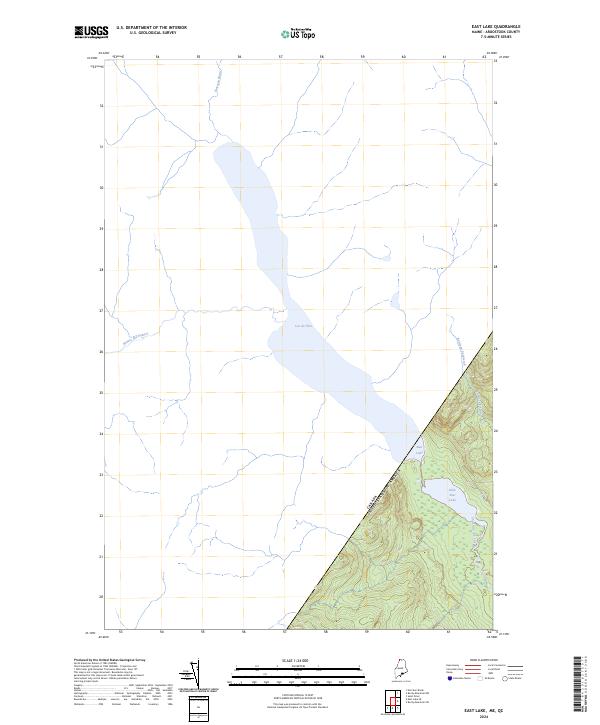
1976 East Lake
Aroostook County, ME
1976 East Lake SE
Aroostook County, ME
1976 Ninemile Deadwater
Aroostook County, ME
1976 Seven Islands
Aroostook County, ME
1976 St. Pamphile
Aroostook County, ME
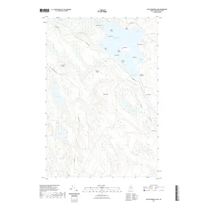
1977 Burntland Pond
Aroostook County, ME
1977 Charles Pond
Aroostook County, ME
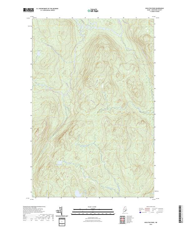
1977 Houlton Pond
Aroostook County, ME
1977 St. Adalbert
Aroostook County, ME
1977 St. Omer
Aroostook County, ME
1981 Brooklin
Aroostook County, ME
1984 Bridgewater
Aroostook County, ME
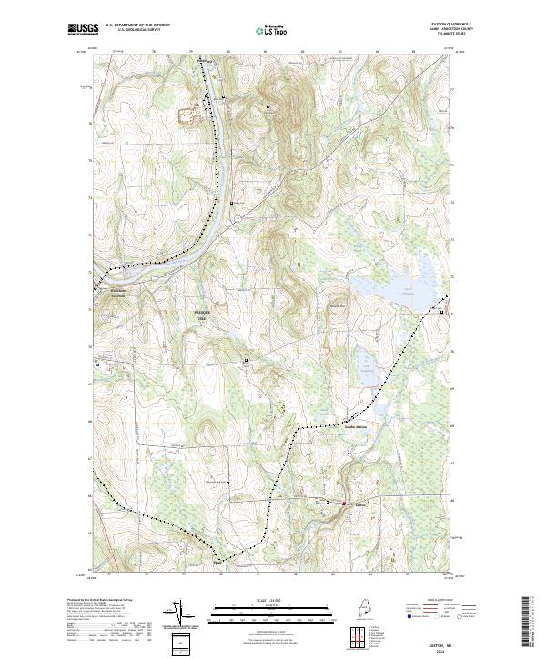
1984 Easton
Aroostook County, ME
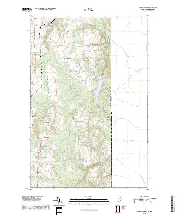
1984 Easton Center
Aroostook County, ME
1984 Echo Lake
Aroostook County, ME
1984 Fort Fairfield
Aroostook County, ME

1984 Goodwin
Aroostook County, ME
1984 Harvey
Aroostook County, ME
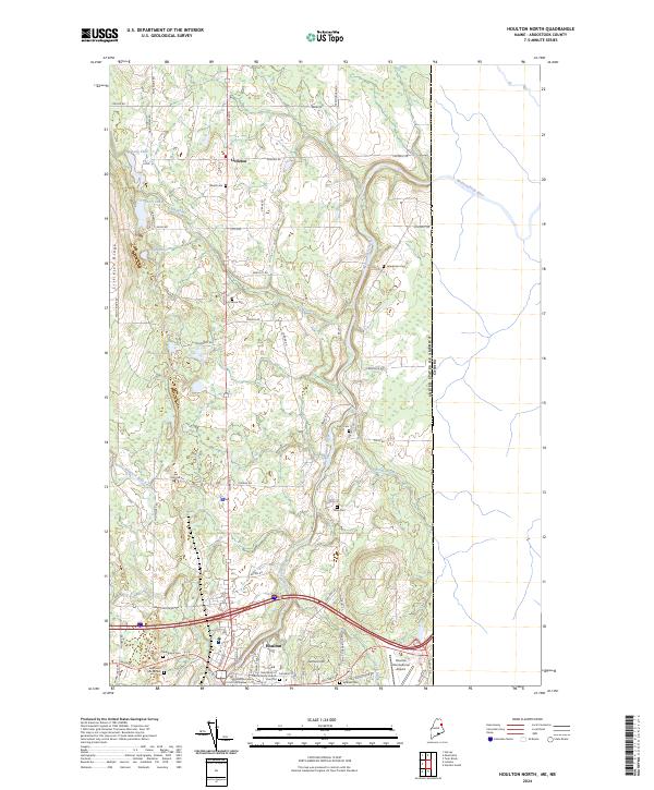
1984 Houlton North
Aroostook County, ME
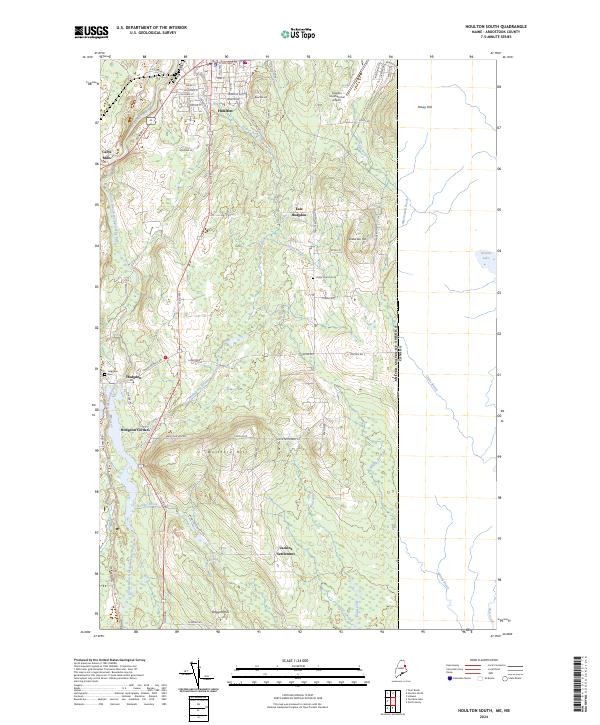
1984 Houlton South
Aroostook County, ME
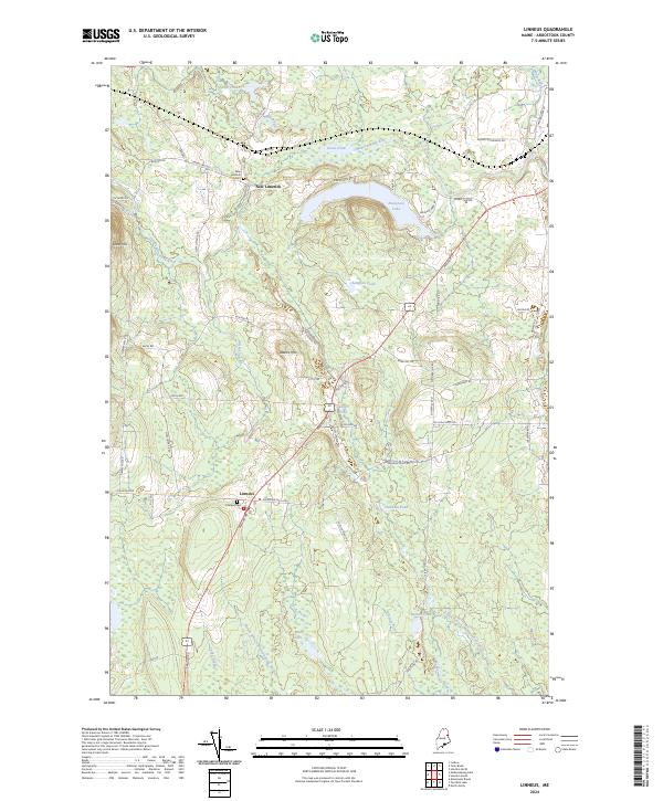
1984 Linneus
Aroostook County, ME
1984 Mapleton
Aroostook County, ME
1984 Mars Hill
Aroostook County, ME
1984 Monticello
Aroostook County, ME
1984 Packard Lake
Aroostook County, ME
1984 Squa Pan Lake East
Aroostook County, ME
1984 Twin Brook
Aroostook County, ME
1984 Washburn
Aroostook County, ME
1984 Westfield
Aroostook County, ME
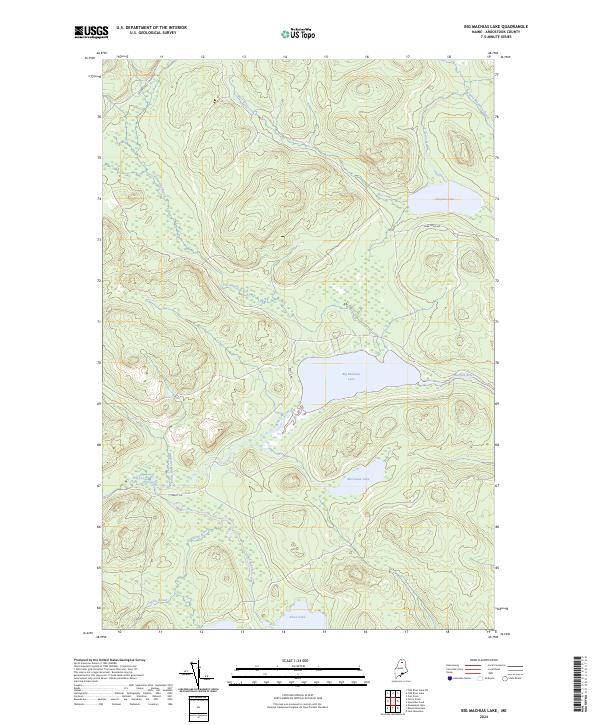
1985 Big Machias Lake
Aroostook County, ME
1985 Carr Pond
Aroostook County, ME
1985 Deboullie Pond
Aroostook County, ME
1985 Eagle Lake
Aroostook County, ME
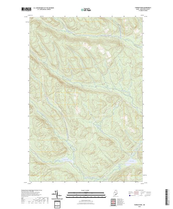
1985 Farrar Pond
Aroostook County, ME
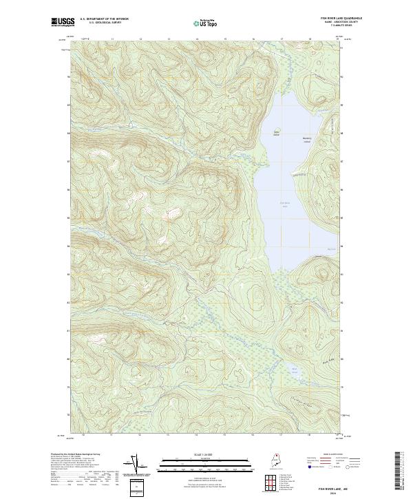
1985 Fish River Lake
Aroostook County, ME
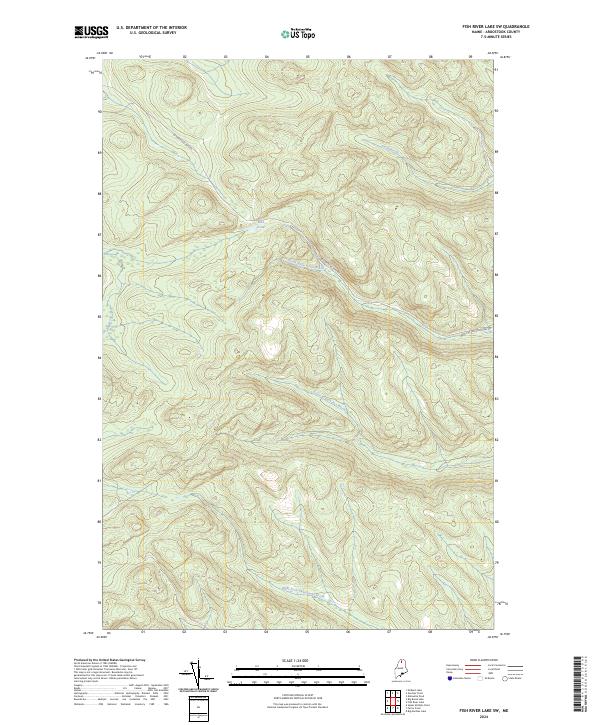
1985 Fish River Lake SW
Aroostook County, ME
1985 Fort Kent North
Aroostook County, ME
1985 Fort Kent South
Aroostook County, ME
1985 Gardner Pond
Aroostook County, ME
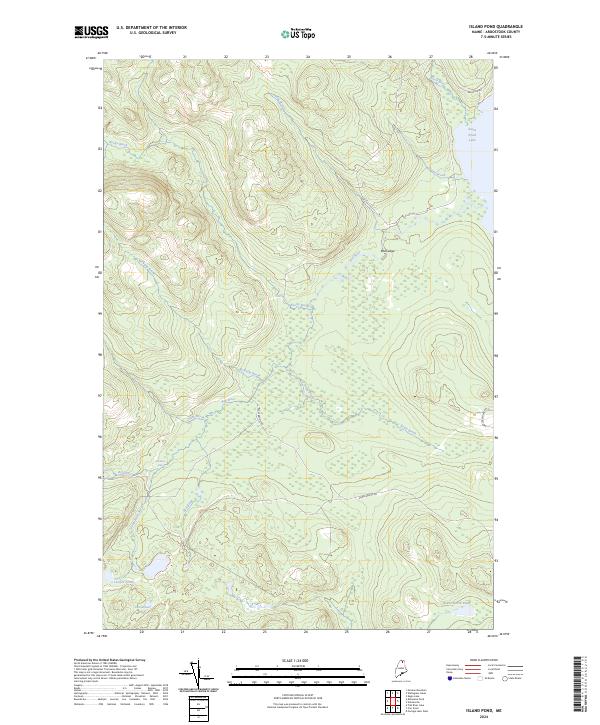
1985 Island Pond
Aroostook County, ME
1985 Mc Lean Mtn
Aroostook County, ME
1985 Middle Brook Mtn
Aroostook County, ME
1985 Mud Lake
Aroostook County, ME
1985 Pelletier Brook Lakes
Aroostook County, ME
1985 Round Mountain
Aroostook County, ME
1985 St. Francis
Aroostook County, ME
1985 St John
Aroostook County, ME
1985 Wallagrass Lakes
Aroostook County, ME
1985 Wheelock
Aroostook County, ME
1985 Winterville
Aroostook County, ME
1986 Allagash
Aroostook County, ME
1986 Allagash Falls
Aroostook County, ME
1986 Ashland
Aroostook County, ME
1986 Big Black Rapids
Aroostook County, ME
1986 Big Brook Lake
Aroostook County, ME
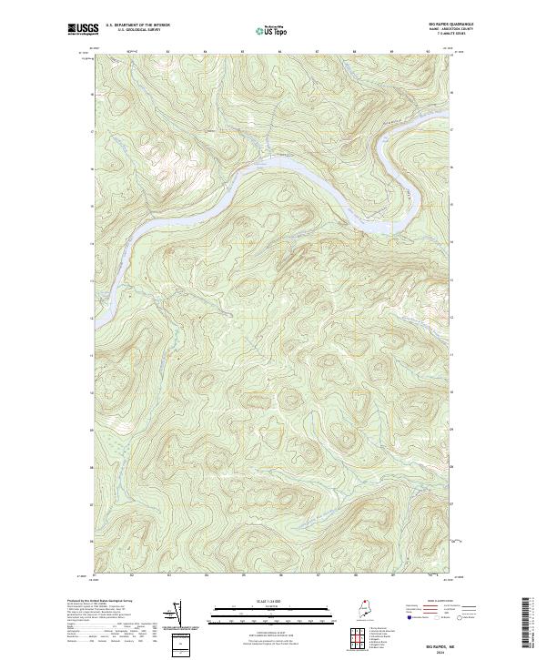
1986 Big Rapids
Aroostook County, ME
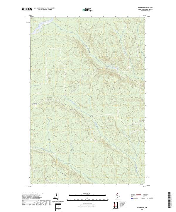
1986 Blue Brook
Aroostook County, ME
1986 Bull Brook
Aroostook County, ME
1986 Burntland Pond
Aroostook County, ME

1986 Chandler Mtn
Aroostook County, ME
1986 Charles Pond
Aroostook County, ME
1986 Cunliffe Islands
Aroostook County, ME
1986 Cunliffe Lake
Aroostook County, ME
1986 Daigle
Aroostook County, ME
1986 Depot Lake
Aroostook County, ME
1986 Doyle Ridge
Aroostook County, ME
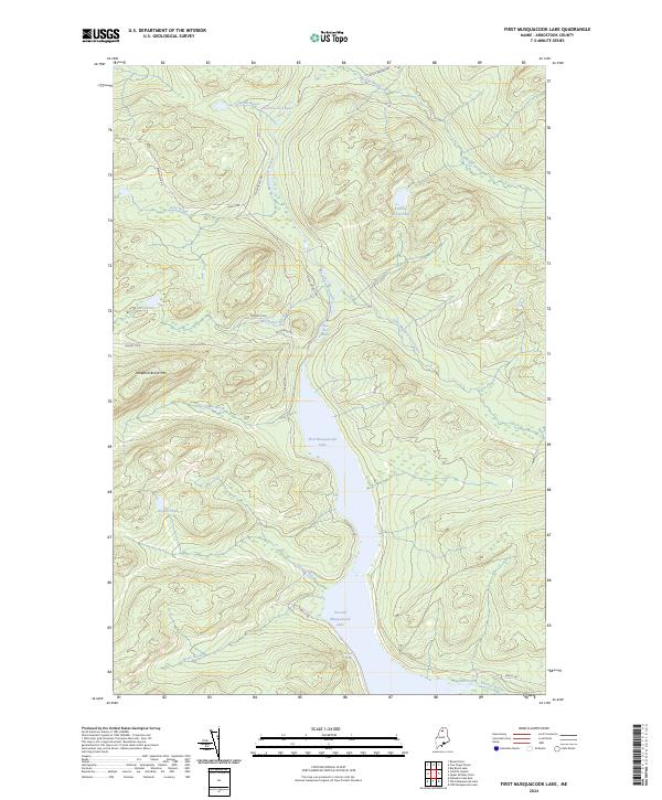
1986 First Musquacook Lake
Aroostook County, ME
1986 Five Finger Brook
Aroostook County, ME
1986 Forks of Machias
Aroostook County, ME
1986 Frenchville
Aroostook County, ME
1986 Greenlaw Pond
Aroostook County, ME
1986 Griswold
Aroostook County, ME
1986 Hamlin
Aroostook County, ME
1986 Hanford
Aroostook County, ME
1986 Houlton Pond
Aroostook County, ME
1986 Jack Mountain
Aroostook County, ME
1986 Knowles Corner
Aroostook County, ME
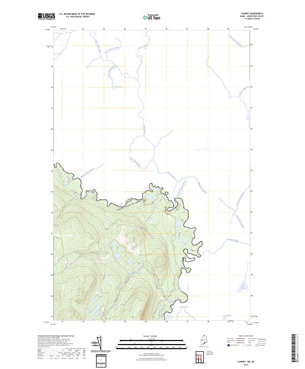
1986 Landry
Aroostook County, ME
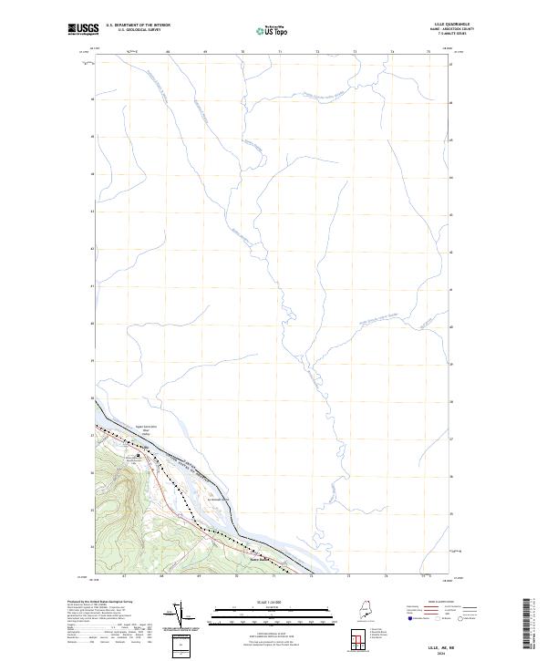
1986 Lille
Aroostook County, ME
1986 Little Machias Lake
Aroostook County, ME
1986 Ludlow
Aroostook County, ME
1986 Madawaska
Aroostook County, ME
1986 Mary L Pond
Aroostook County, ME
1986 Mc Clusky Lake
Aroostook County, ME
1986 Mc Keen Lake
Aroostook County, ME
1986 Mc Kinnon Brook
Aroostook County, ME
1986 Mc Nally Ridge
Aroostook County, ME
1986 Meduxnekeag Lake
Aroostook County, ME
1986 Ninemile Bridge
Aroostook County, ME
1986 Ninemile Deadwater
Aroostook County, ME
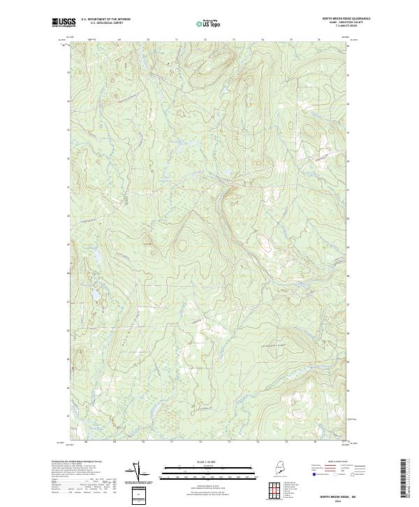
1986 North Brook Ridge
Aroostook County, ME
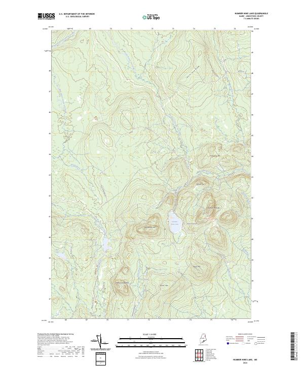
1986 Number Nine Lake
Aroostook County, ME
1986 Oxbow East
Aroostook County, ME
1986 Oxbow West
Aroostook County, ME

1986 Paulette Brook
Aroostook County, ME
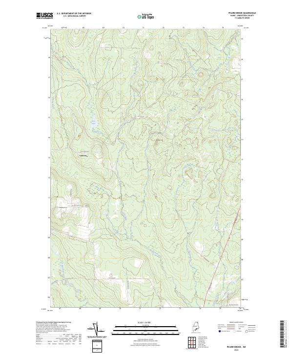
1986 Picard Brook
Aroostook County, ME
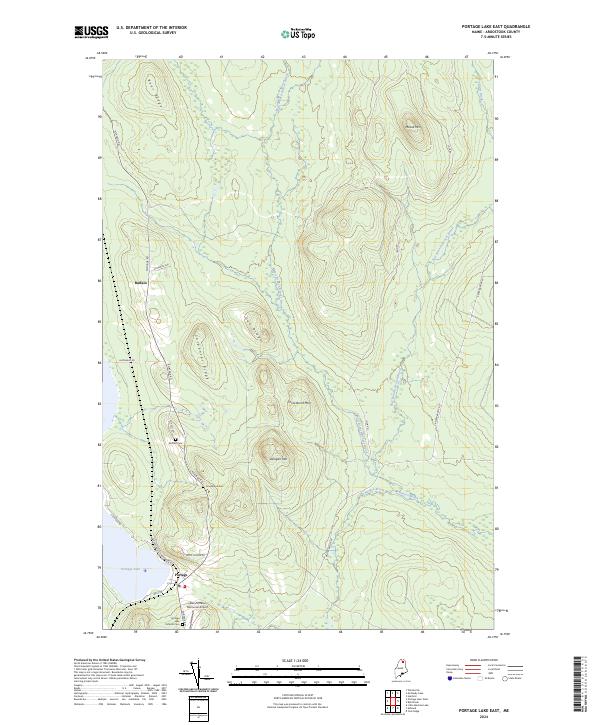
1986 Portage Lake East
Aroostook County, ME
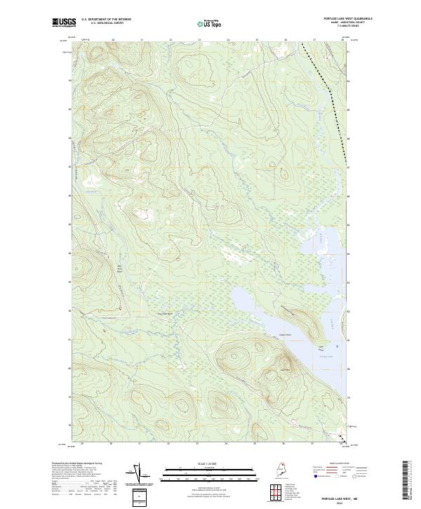
1986 Portage Lake West
Aroostook County, ME
1986 Round Pond
Aroostook County, ME
1986 Seven Islands
Aroostook County, ME
1986 Smyrna Mills
Aroostook County, ME
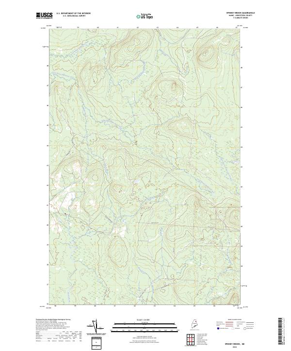
1986 Spinney Brook
Aroostook County, ME
1986 Squa Pan
Aroostook County, ME
1986 Squa Pan Lake West
Aroostook County, ME
1986 Square Lake East
Aroostook County, ME
1986 Square Lake West
Aroostook County, ME
1986 St. Agatha
Aroostook County, ME
1986 St. Croix Lake
Aroostook County, ME
1986 Stockholm
Aroostook County, ME
1986 St. Pamphile
Aroostook County, ME
1986 Ugh Lake
Aroostook County, ME
1986 Upper Mc Nally Pond
Aroostook County, ME
1986 Van Buren
Aroostook County, ME
1986 Violette Stream
Aroostook County, ME
1986 York Ridge
Aroostook County, ME
1987 Beau Lake
Aroostook County, ME
1987 East Lake
Aroostook County, ME
1987 East Lake SE
Aroostook County, ME
1987 Estcourt
Aroostook County, ME
1987 Falls Brook Lake
Aroostook County, ME
1987 Hafey Pond
Aroostook County, ME
1987 Johnson Brook Mountain
Aroostook County, ME
1987 Morrison Brook
Aroostook County, ME
1987 Rocky Brook
Aroostook County, ME

1987 Rocky Mountain
Aroostook County, ME
1987 Rocky Mountain SW
Aroostook County, ME
1987 Rocky Mtn NW
Aroostook County, ME
1987 Saint-Eleuthere
Aroostook County, ME
1987 Schoolhouse Rapids
Aroostook County, ME
1987 St. Omer
Aroostook County, ME
1988 Jimmey Mountain
Aroostook County, ME
1988 Molunkus Lake
Aroostook County, ME
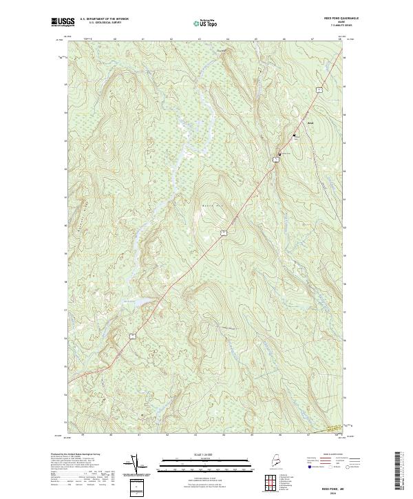
1988 Reed Pond
Aroostook County, ME
1988 Wytopitlock
Aroostook County, ME
1989 Alder Brook
Aroostook County, ME
1989 Crystal
Aroostook County, ME
1989 Haynesville
Aroostook County, ME
1989 Mattawamkeag Lake
Aroostook County, ME
1989 Monarda
Aroostook County, ME
1989 Monument Brook
Aroostook County, ME
1989 North Amity
Aroostook County, ME
1989 Orient
Aroostook County, ME
1989 Tenmile Lake
Aroostook County, ME
1989 Wytopitlock Lake
Aroostook County, ME

1993 Allagash
Aroostook County, ME

1993 Clayton Lake
Aroostook County, ME
1993 Fort Fairfield
Aroostook County, ME
1993 Houlton
Aroostook County, ME
1993 Van Buren
Aroostook County, ME

1994 Madawaska
Aroostook County, ME
2011 Alder Brook
Aroostook County, ME
2011 Allagash
Aroostook County, ME
2011 Allagash Falls
Aroostook County, ME
2011 Ashland
Aroostook County, ME
2011 Beau Lake
Aroostook County, ME
2011 Big Black Rapids
Aroostook County, ME
2011 Big Brook Lake
Aroostook County, ME
2011 Big Machias Lake
Aroostook County, ME
2011 Big Rapids
Aroostook County, ME
2011 Blue Brook
Aroostook County, ME
2011 Bridgewater
Aroostook County, ME
2011 Bull Brook
Aroostook County, ME
2011 Burntland Pond
Aroostook County, ME
2011 Carr Pond
Aroostook County, ME
2011 Chandler Mountain
Aroostook County, ME
2011 Charles Pond
Aroostook County, ME
2011 Crystal
Aroostook County, ME
2011 Cunliffe Islands
Aroostook County, ME
2011 Cunliffe Lake
Aroostook County, ME
2011 Daigle
Aroostook County, ME
2011 Deboullie Pond
Aroostook County, ME
2011 Depot Lake
Aroostook County, ME
2011 Doyle Ridge
Aroostook County, ME
2011 Eagle Lake
Aroostook County, ME
2011 East Lake
Aroostook County, ME
2011 East Lake SE
Aroostook County, ME
2011 Easton
Aroostook County, ME
2011 Easton Center
Aroostook County, ME
2011 Echo Lake
Aroostook County, ME
2011 Estcourt
Aroostook County, ME
2011 Falls Brook Lake
Aroostook County, ME
2011 Farrar Pond
Aroostook County, ME
2011 First Musquacook Lake
Aroostook County, ME
2011 Fish River Lake
Aroostook County, ME
2011 Fish River Lake SW
Aroostook County, ME
2011 Five Finger Brook
Aroostook County, ME
2011 Forks of Machias
Aroostook County, ME
2011 Fort Fairfield
Aroostook County, ME
2011 Fort Fairfield NW
Aroostook County, ME
2011 Fort Kent North
Aroostook County, ME
2011 Fort Kent South
Aroostook County, ME
2011 Frenchville
Aroostook County, ME
2011 Gardner Pond
Aroostook County, ME
2011 Goodwin
Aroostook County, ME
2011 Greenlaw Pond
Aroostook County, ME
2011 Griswold
Aroostook County, ME
2011 Hafey Pond
Aroostook County, ME
2011 Hamlin
Aroostook County, ME
2011 Hanford
Aroostook County, ME
2011 Harvey
Aroostook County, ME
2011 Haynesville
Aroostook County, ME
2011 Houlton North
Aroostook County, ME
2011 Houlton Pond
Aroostook County, ME
2011 Houlton South
Aroostook County, ME
2011 Island Pond
Aroostook County, ME
2011 Jack Mountain
Aroostook County, ME
2011 Jimmey Mountain
Aroostook County, ME
2011 Johnson Brook Mountain
Aroostook County, ME
2011 Knowles Corner
Aroostook County, ME
2011 Landry
Aroostook County, ME
2011 Lille
Aroostook County, ME
2011 Limestone
Aroostook County, ME
2011 Linneus
Aroostook County, ME
2011 Little Machias Lake
Aroostook County, ME
2011 Ludlow
Aroostook County, ME
2011 Madawaska
Aroostook County, ME
2011 Mapleton
Aroostook County, ME
2011 Mars Hill
Aroostook County, ME
2011 Mary L Pond
Aroostook County, ME
2011 Mattawamkeag Lake
Aroostook County, ME
2011 McClusky Lake
Aroostook County, ME
2011 McKeen Lake
Aroostook County, ME
2011 McKinnon Brook
Aroostook County, ME
2011 McLean Mountain
Aroostook County, ME
2011 McNally Ridge
Aroostook County, ME
2011 Meduxnekeag Lake
Aroostook County, ME
2011 Middle Brook Mountain
Aroostook County, ME
2011 Molunkus Lake
Aroostook County, ME
2011 Monarda
Aroostook County, ME
2011 Monticello
Aroostook County, ME
2011 Monument Brook
Aroostook County, ME
2011 Morrison Brook
Aroostook County, ME
2011 Mud Lake
Aroostook County, ME
2011 New Sweden
Aroostook County, ME
2011 Ninemile Bridge
Aroostook County, ME
2011 Ninemile Deadwater
Aroostook County, ME
2011 North Amity
Aroostook County, ME
2011 North Brook Ridge
Aroostook County, ME
2011 Number Nine Lake
Aroostook County, ME
2011 Orient
Aroostook County, ME
2011 Oxbow East
Aroostook County, ME
2011 Oxbow West
Aroostook County, ME
2011 Packard Lake
Aroostook County, ME
2011 Paulette Brook
Aroostook County, ME
2011 Pelletier Brook Lakes
Aroostook County, ME
2011 Picard Brook
Aroostook County, ME
2011 Portage Lake East
Aroostook County, ME
2011 Portage Lake West
Aroostook County, ME
2011 Reed Pond
Aroostook County, ME
2011 Rocky Brook
Aroostook County, ME
2011 Rocky Mountain
Aroostook County, ME
2011 Rocky Mountain NW
Aroostook County, ME
2011 Rocky Mountain SW
Aroostook County, ME
2011 Round Mountain
Aroostook County, ME
2011 Round Pond
Aroostook County, ME
2011 Saint Adalbert
Aroostook County, ME
2011 Saint Agatha
Aroostook County, ME
2011 Saint Croix Lake
Aroostook County, ME
2011 Saint Eleuthere
Aroostook County, ME
2011 Saint Francis
Aroostook County, ME
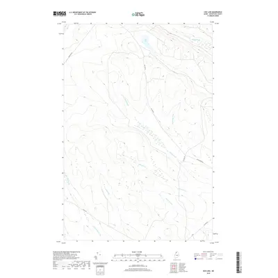
2011 Saint John
Aroostook County, ME
2011 Saint Omer
Aroostook County, ME
2011 Saint Pamphile
Aroostook County, ME
2011 Schoolhouse Rapids
Aroostook County, ME
2011 Scopan
Aroostook County, ME
2011 Scopan Lake East
Aroostook County, ME
2011 Scopan Lake West
Aroostook County, ME
2011 Seven Islands
Aroostook County, ME
2011 Smyrna Mills
Aroostook County, ME
2011 Spinney Brook
Aroostook County, ME
2011 Square Lake East
Aroostook County, ME
2011 Square Lake West
Aroostook County, ME
2011 Stockholm
Aroostook County, ME
2011 Ten Mile Lake
Aroostook County, ME
2011 Twin Brook
Aroostook County, ME
2011 Ugh Lake
Aroostook County, ME
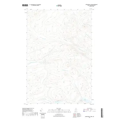
2011 Upper McNally Pond
Aroostook County, ME
2011 Van Buren
Aroostook County, ME
2011 Violette Stream
Aroostook County, ME
2011 Wallagrass Lakes
Aroostook County, ME
2011 Washburn
Aroostook County, ME
2011 Westfield
Aroostook County, ME
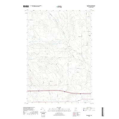
2011 Wheelock
Aroostook County, ME
2011 Winterville
Aroostook County, ME
2011 Wytopitlock
Aroostook County, ME
2011 Wytopitlock Lake
Aroostook County, ME
2011 York Ridge
Aroostook County, ME
2014 Alder Brook
Aroostook County, ME
2014 Allagash
Aroostook County, ME
2014 Allagash Falls
Aroostook County, ME
2014 Ashland
Aroostook County, ME
2014 Beau Lake
Aroostook County, ME
2014 Big Black Rapids
Aroostook County, ME
2014 Big Brook Lake
Aroostook County, ME
2014 Big Machias Lake
Aroostook County, ME
2014 Big Rapids
Aroostook County, ME
2014 Blue Brook
Aroostook County, ME
2014 Bridgewater
Aroostook County, ME
2014 Bull Brook
Aroostook County, ME
2014 Burntland Pond
Aroostook County, ME
2014 Carr Pond
Aroostook County, ME
2014 Chandler Mountain
Aroostook County, ME
2014 Charles Pond
Aroostook County, ME
2014 Crystal
Aroostook County, ME
2014 Cunliffe Islands
Aroostook County, ME
2014 Cunliffe Lake
Aroostook County, ME
2014 Daigle
Aroostook County, ME
2014 Deboullie Pond
Aroostook County, ME
2014 Depot Lake
Aroostook County, ME
2014 Doyle Ridge
Aroostook County, ME
2014 Eagle Lake
Aroostook County, ME
2014 East Lake
Aroostook County, ME
2014 East Lake SE
Aroostook County, ME
2014 Easton
Aroostook County, ME
2014 Easton Center
Aroostook County, ME
2014 Echo Lake
Aroostook County, ME
2014 Estcourt
Aroostook County, ME
2014 Falls Brook Lake
Aroostook County, ME
2014 Farrar Pond
Aroostook County, ME
2014 First Musquacook Lake
Aroostook County, ME
2014 Fish River Lake
Aroostook County, ME
2014 Fish River Lake SW
Aroostook County, ME
2014 Five Finger Brook
Aroostook County, ME
2014 Forks of Machias
Aroostook County, ME
2014 Fort Fairfield
Aroostook County, ME

2014 Fort Fairfield NW
Aroostook County, ME
2014 Fort Kent North
Aroostook County, ME
2014 Fort Kent South
Aroostook County, ME
2014 Frenchville
Aroostook County, ME
2014 Gardner Pond
Aroostook County, ME
2014 Goodwin
Aroostook County, ME
2014 Greenlaw Pond
Aroostook County, ME
2014 Griswold
Aroostook County, ME
2014 Hafey Pond
Aroostook County, ME
2014 Hamlin
Aroostook County, ME
2014 Hanford
Aroostook County, ME
2014 Harvey
Aroostook County, ME
2014 Haynesville
Aroostook County, ME
2014 Houlton North
Aroostook County, ME
2014 Houlton Pond
Aroostook County, ME
2014 Houlton South
Aroostook County, ME
2014 Island Pond
Aroostook County, ME
2014 Jack Mountain
Aroostook County, ME
2014 Jimmey Mountain
Aroostook County, ME
2014 Johnson Brook Mountain
Aroostook County, ME
2014 Knowles Corner
Aroostook County, ME
2014 Landry
Aroostook County, ME
2014 Lille
Aroostook County, ME
2014 Limestone
Aroostook County, ME
2014 Linneus
Aroostook County, ME
2014 Little Machias Lake
Aroostook County, ME
2014 Ludlow
Aroostook County, ME
2014 Madawaska
Aroostook County, ME
2014 Mapleton
Aroostook County, ME
2014 Mars Hill
Aroostook County, ME
2014 Mary L Pond
Aroostook County, ME
2014 Mattawamkeag Lake
Aroostook County, ME
2014 McClusky Lake
Aroostook County, ME
2014 McKeen Lake
Aroostook County, ME
2014 McKinnon Brook
Aroostook County, ME
2014 McLean Mountain
Aroostook County, ME
2014 McNally Ridge
Aroostook County, ME
2014 Meduxnekeag Lake
Aroostook County, ME
2014 Middle Brook Mountain
Aroostook County, ME
2014 Molunkus Lake
Aroostook County, ME
2014 Monarda
Aroostook County, ME
2014 Monticello
Aroostook County, ME
2014 Monument Brook
Aroostook County, ME
2014 Morrison Brook
Aroostook County, ME
2014 Mud Lake
Aroostook County, ME
2014 New Sweden
Aroostook County, ME
2014 Ninemile Bridge
Aroostook County, ME
2014 Ninemile Deadwater
Aroostook County, ME
2014 North Amity
Aroostook County, ME
2014 North Brook Ridge
Aroostook County, ME
2014 Number Nine Lake
Aroostook County, ME
2014 Orient
Aroostook County, ME
2014 Oxbow East
Aroostook County, ME
2014 Oxbow West
Aroostook County, ME
2014 Packard Lake
Aroostook County, ME
2014 Paulette Brook
Aroostook County, ME
2014 Pelletier Brook Lakes
Aroostook County, ME
2014 Picard Brook
Aroostook County, ME
2014 Portage Lake East
Aroostook County, ME
2014 Portage Lake West
Aroostook County, ME
2014 Reed Pond
Aroostook County, ME
2014 Rocky Brook
Aroostook County, ME
2014 Rocky Mountain
Aroostook County, ME
2014 Rocky Mountain NW
Aroostook County, ME
2014 Rocky Mountain SW
Aroostook County, ME
2014 Round Mountain
Aroostook County, ME
2014 Round Pond
Aroostook County, ME
2014 Saint Adalbert
Aroostook County, ME
2014 Saint Agatha
Aroostook County, ME
2014 Saint Croix Lake
Aroostook County, ME
2014 Saint Eleuthere
Aroostook County, ME
2014 Saint Francis
Aroostook County, ME
2014 Saint John
Aroostook County, ME
2014 Saint Omer
Aroostook County, ME
2014 Saint Pamphile
Aroostook County, ME
2014 Schoolhouse Rapids
Aroostook County, ME
2014 Scopan
Aroostook County, ME
2014 Scopan Lake East
Aroostook County, ME
2014 Scopan Lake West
Aroostook County, ME
2014 Seven Islands
Aroostook County, ME
2014 Smyrna Mills
Aroostook County, ME
2014 Spinney Brook
Aroostook County, ME
2014 Square Lake East
Aroostook County, ME
2014 Square Lake West
Aroostook County, ME
2014 Stockholm
Aroostook County, ME
2014 Ten Mile Lake
Aroostook County, ME
2014 Twin Brook
Aroostook County, ME
2014 Ugh Lake
Aroostook County, ME
2014 Upper McNally Pond
Aroostook County, ME
2014 Van Buren
Aroostook County, ME
2014 Violette Stream
Aroostook County, ME
2014 Wallagrass Lakes
Aroostook County, ME
2014 Washburn
Aroostook County, ME
2014 Westfield
Aroostook County, ME
2014 Wheelock
Aroostook County, ME
2014 Winterville
Aroostook County, ME
2014 Wytopitlock
Aroostook County, ME
2014 Wytopitlock Lake
Aroostook County, ME
2014 York Ridge
Aroostook County, ME
2018 Alder Brook
Aroostook County, ME
2018 Allagash
Aroostook County, ME
2018 Allagash Falls
Aroostook County, ME
2018 Ashland
Aroostook County, ME
2018 Beau Lake
Aroostook County, ME
2018 Big Black Rapids
Aroostook County, ME
2018 Big Brook Lake
Aroostook County, ME
2018 Big Machias Lake
Aroostook County, ME
2018 Big Rapids
Aroostook County, ME
2018 Blue Brook
Aroostook County, ME
2018 Bridgewater
Aroostook County, ME
2018 Bull Brook
Aroostook County, ME
2018 Burntland Pond
Aroostook County, ME
2018 Carr Pond
Aroostook County, ME
2018 Chandler Mountain
Aroostook County, ME
2018 Charles Pond
Aroostook County, ME
2018 Crystal
Aroostook County, ME
2018 Cunliffe Islands
Aroostook County, ME
2018 Cunliffe Lake
Aroostook County, ME
2018 Daigle
Aroostook County, ME
2018 Deboullie Pond
Aroostook County, ME
2018 Depot Lake
Aroostook County, ME
2018 Doyle Ridge
Aroostook County, ME
2018 Eagle Lake
Aroostook County, ME

2018 East Lake
Aroostook County, ME
2018 East Lake SE
Aroostook County, ME
2018 Easton
Aroostook County, ME
2018 Easton Center
Aroostook County, ME
2018 Echo Lake
Aroostook County, ME
2018 Falls Brook Lake
Aroostook County, ME
2018 Farrar Pond
Aroostook County, ME
2018 First Musquacook Lake
Aroostook County, ME

2018 Fish River Lake
Aroostook County, ME
2018 Fish River Lake SW
Aroostook County, ME
2018 Five Finger Brook
Aroostook County, ME
2018 Forks of Machias
Aroostook County, ME
2018 Fort Fairfield
Aroostook County, ME
2018 Fort Fairfield NW
Aroostook County, ME
2018 Fort Kent North
Aroostook County, ME
2018 Fort Kent South
Aroostook County, ME
2018 Frenchville
Aroostook County, ME
2018 Gardner Pond
Aroostook County, ME
2018 Goodwin
Aroostook County, ME
2018 Greenlaw Pond
Aroostook County, ME
2018 Griswold
Aroostook County, ME
2018 Hafey Pond
Aroostook County, ME
2018 Hamlin
Aroostook County, ME
2018 Hanford
Aroostook County, ME
2018 Harvey
Aroostook County, ME
2018 Haynesville
Aroostook County, ME
2018 Houlton North
Aroostook County, ME
2018 Houlton Pond
Aroostook County, ME
2018 Houlton South
Aroostook County, ME
2018 Island Pond
Aroostook County, ME
2018 Jack Mountain
Aroostook County, ME
2018 Jimmey Mountain
Aroostook County, ME
2018 Johnson Brook Mountain
Aroostook County, ME
2018 Knowles Corner
Aroostook County, ME
2018 Landry
Aroostook County, ME
2018 Lille
Aroostook County, ME
2018 Limestone
Aroostook County, ME
2018 Linneus
Aroostook County, ME
2018 Little Machias Lake
Aroostook County, ME
2018 Ludlow
Aroostook County, ME
2018 Madawaska
Aroostook County, ME

2018 Mapleton
Aroostook County, ME
2018 Mars Hill
Aroostook County, ME
2018 Mary L Pond
Aroostook County, ME

2018 Mattawamkeag Lake
Aroostook County, ME
2018 McClusky Lake
Aroostook County, ME
2018 McKeen Lake
Aroostook County, ME
2018 McKinnon Brook
Aroostook County, ME
2018 McLean Mountain
Aroostook County, ME
2018 McNally Ridge
Aroostook County, ME
2018 Meduxnekeag Lake
Aroostook County, ME
2018 Middle Brook Mountain
Aroostook County, ME
2018 Molunkus Lake
Aroostook County, ME
2018 Monarda
Aroostook County, ME
2018 Monticello
Aroostook County, ME
2018 Monument Brook
Aroostook County, ME
2018 Morrison Brook
Aroostook County, ME
2018 Mud Lake
Aroostook County, ME
2018 New Sweden
Aroostook County, ME
2018 Ninemile Bridge
Aroostook County, ME
2018 Ninemile Deadwater
Aroostook County, ME
2018 North Amity
Aroostook County, ME
2018 North Brook Ridge
Aroostook County, ME
2018 Number Nine Lake
Aroostook County, ME

2018 Orient
Aroostook County, ME
2018 Oxbow East
Aroostook County, ME
2018 Oxbow West
Aroostook County, ME
2018 Packard Lake
Aroostook County, ME
2018 Paulette Brook
Aroostook County, ME
2018 Pelletier Brook Lakes
Aroostook County, ME
2018 Picard Brook
Aroostook County, ME
2018 Portage Lake East
Aroostook County, ME
2018 Portage Lake West
Aroostook County, ME
2018 Reed Pond
Aroostook County, ME
2018 Rocky Brook
Aroostook County, ME
2018 Rocky Mountain
Aroostook County, ME
2018 Rocky Mountain NW
Aroostook County, ME
2018 Rocky Mountain SW
Aroostook County, ME
2018 Round Mountain
Aroostook County, ME
2018 Round Pond
Aroostook County, ME
2018 Saint Agatha
Aroostook County, ME
2018 Saint Croix Lake
Aroostook County, ME
2018 Saint Francis
Aroostook County, ME
2018 Saint John
Aroostook County, ME
2018 Schoolhouse Rapids
Aroostook County, ME
2018 Scopan
Aroostook County, ME
2018 Scopan Lake East
Aroostook County, ME
2018 Scopan Lake West
Aroostook County, ME
2018 Seven Islands
Aroostook County, ME
2018 Smyrna Mills
Aroostook County, ME
2018 Spinney Brook
Aroostook County, ME
2018 Square Lake East
Aroostook County, ME
2018 Square Lake West
Aroostook County, ME
2018 Stockholm
Aroostook County, ME
2018 Ten Mile Lake
Aroostook County, ME
2018 Twin Brook
Aroostook County, ME
2018 Ugh Lake
Aroostook County, ME
2018 Upper McNally Pond
Aroostook County, ME
2018 Van Buren
Aroostook County, ME
2018 Violette Stream
Aroostook County, ME
2018 Wallagrass Lakes
Aroostook County, ME
2018 Washburn
Aroostook County, ME
2018 Westfield
Aroostook County, ME
2018 Wheelock
Aroostook County, ME
2018 Winterville
Aroostook County, ME
2018 Wytopitlock
Aroostook County, ME
2018 Wytopitlock Lake
Aroostook County, ME
2018 York Ridge
Aroostook County, ME
2021 Alder Brook
Aroostook County, ME
2021 Allagash
Aroostook County, ME
2021 Allagash Falls
Aroostook County, ME
2021 Ashland
Aroostook County, ME
2021 Beau Lake
Aroostook County, ME
2021 Big Black Rapids
Aroostook County, ME
2021 Big Brook Lake
Aroostook County, ME
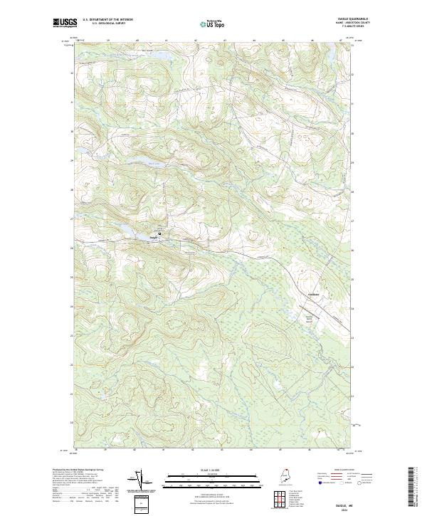
2021 Big Machias Lake
Aroostook County, ME
2021 Big Rapids
Aroostook County, ME
2021 Blue Brook
Aroostook County, ME
2021 Bridgewater
Aroostook County, ME
2021 Bull Brook
Aroostook County, ME
2021 Burntland Pond
Aroostook County, ME
2021 Carr Pond
Aroostook County, ME
2021 Chandler Mountain
Aroostook County, ME
2021 Charles Pond
Aroostook County, ME
2021 Crystal
Aroostook County, ME
2021 Cunliffe Islands
Aroostook County, ME
2021 Cunliffe Lake
Aroostook County, ME
2021 Daigle
Aroostook County, ME
2021 Deboullie Pond
Aroostook County, ME
2021 Depot Lake
Aroostook County, ME
2021 Doyle Ridge
Aroostook County, ME
2021 Eagle Lake
Aroostook County, ME
2021 East Lake
Aroostook County, ME
2021 East Lake SE
Aroostook County, ME
2021 Easton
Aroostook County, ME
2021 Easton Center
Aroostook County, ME
2021 Echo Lake
Aroostook County, ME
2021 Estcourt
Aroostook County, ME
2021 Falls Brook Lake
Aroostook County, ME
2021 Farrar Pond
Aroostook County, ME
2021 First Musquacook Lake
Aroostook County, ME
2021 Fish River Lake
Aroostook County, ME
2021 Fish River Lake SW
Aroostook County, ME
2021 Five Finger Brook
Aroostook County, ME
2021 Forks of Machias
Aroostook County, ME
2021 Fort Fairfield
Aroostook County, ME
2021 Fort Fairfield NW
Aroostook County, ME
2021 Fort Kent North
Aroostook County, ME
2021 Fort Kent South
Aroostook County, ME
2021 Frenchville
Aroostook County, ME
2021 Gardner Pond
Aroostook County, ME
2021 Goodwin
Aroostook County, ME
2021 Greenlaw Pond
Aroostook County, ME
2021 Griswold
Aroostook County, ME
2021 Hafey Pond
Aroostook County, ME
2021 Hamlin
Aroostook County, ME
2021 Hanford
Aroostook County, ME
2021 Harvey
Aroostook County, ME
2021 Haynesville
Aroostook County, ME
2021 Houlton North
Aroostook County, ME
2021 Houlton Pond
Aroostook County, ME
2021 Houlton South
Aroostook County, ME
2021 Island Pond
Aroostook County, ME
2021 Jack Mountain
Aroostook County, ME
2021 Jimmey Mountain
Aroostook County, ME
2021 Johnson Brook Mountain
Aroostook County, ME
2021 Knowles Corner
Aroostook County, ME
2021 Landry
Aroostook County, ME
2021 Lille
Aroostook County, ME
2021 Limestone
Aroostook County, ME
2021 Linneus
Aroostook County, ME
2021 Little Machias Lake
Aroostook County, ME
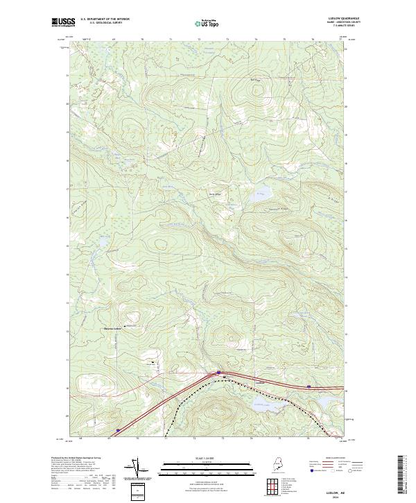
2021 Ludlow
Aroostook County, ME
2021 Madawaska
Aroostook County, ME
2021 Mapleton
Aroostook County, ME
2021 Mars Hill
Aroostook County, ME
2021 Mary L Pond
Aroostook County, ME
2021 Mattawamkeag Lake
Aroostook County, ME
2021 McClusky Lake
Aroostook County, ME
2021 McKeen Lake
Aroostook County, ME
2021 McKinnon Brook
Aroostook County, ME
2021 McLean Mountain
Aroostook County, ME
2021 McNally Ridge
Aroostook County, ME
2021 Meduxnekeag Lake
Aroostook County, ME
2021 Middle Brook Mountain
Aroostook County, ME
2021 Molunkus Lake
Aroostook County, ME
2021 Monarda
Aroostook County, ME
2021 Monticello
Aroostook County, ME
2021 Monument Brook
Aroostook County, ME
2021 Morrison Brook
Aroostook County, ME
2021 Mud Lake
Aroostook County, ME
2021 New Sweden
Aroostook County, ME
2021 Ninemile Bridge
Aroostook County, ME
2021 Ninemile Deadwater
Aroostook County, ME
2021 North Amity
Aroostook County, ME
2021 North Brook Ridge
Aroostook County, ME
2021 Number Nine Lake
Aroostook County, ME
2021 Orient
Aroostook County, ME
2021 Oxbow East
Aroostook County, ME
2021 Oxbow West
Aroostook County, ME
2021 Packard Lake
Aroostook County, ME
2021 Paulette Brook
Aroostook County, ME
2021 Pelletier Brook Lakes
Aroostook County, ME
2021 Picard Brook
Aroostook County, ME
2021 Portage Lake East
Aroostook County, ME
2021 Portage Lake West
Aroostook County, ME
2021 Reed Pond
Aroostook County, ME
2021 Rocky Brook
Aroostook County, ME
2021 Rocky Mountain
Aroostook County, ME
2021 Rocky Mountain NW
Aroostook County, ME
2021 Rocky Mountain SW
Aroostook County, ME
2021 Round Mountain
Aroostook County, ME
2021 Round Pond
Aroostook County, ME
2021 Saint Adalbert
Aroostook County, ME
2021 Saint Agatha
Aroostook County, ME
2021 Saint Croix Lake
Aroostook County, ME
2021 Saint Eleuthere
Aroostook County, ME
2021 Saint Francis
Aroostook County, ME
2021 Saint John
Aroostook County, ME
2021 Saint Omer
Aroostook County, ME
2021 Saint Pamphile
Aroostook County, ME
2021 Schoolhouse Rapids
Aroostook County, ME
2021 Scopan
Aroostook County, ME
2021 Scopan Lake East
Aroostook County, ME
2021 Scopan Lake West
Aroostook County, ME

2021 Seven Islands
Aroostook County, ME
2021 Smyrna Mills
Aroostook County, ME
2021 Spinney Brook
Aroostook County, ME
2021 Square Lake East
Aroostook County, ME
2021 Square Lake West
Aroostook County, ME
2021 Stockholm
Aroostook County, ME
2021 Ten Mile Lake
Aroostook County, ME
2021 Twin Brook
Aroostook County, ME
2021 Ugh Lake
Aroostook County, ME
2021 Upper McNally Pond
Aroostook County, ME
2021 Van Buren
Aroostook County, ME
2021 Violette Stream
Aroostook County, ME
2021 Wallagrass Lakes
Aroostook County, ME
2021 Washburn
Aroostook County, ME
2021 Westfield
Aroostook County, ME
2021 Wheelock
Aroostook County, ME
2021 Winterville
Aroostook County, ME
2021 Wytopitlock
Aroostook County, ME
2021 Wytopitlock Lake
Aroostook County, ME
2021 York Ridge
Aroostook County, ME
2024 Alder Brook
Aroostook County, ME
2024 Allagash
Aroostook County, ME
2024 Allagash Falls
Aroostook County, ME
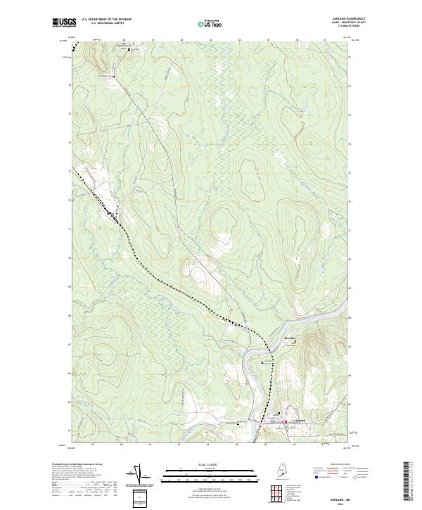
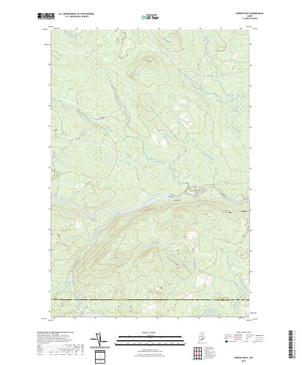
2024 Ashland
Aroostook County, ME
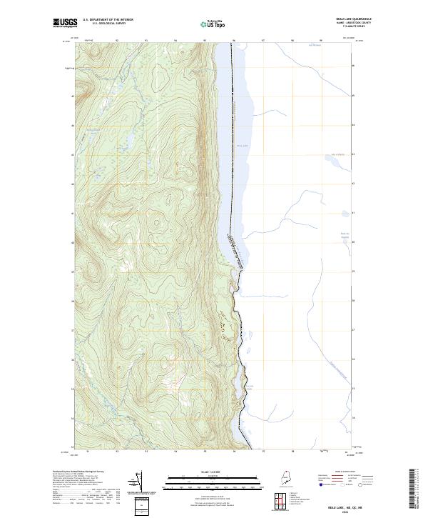
2024 Beau Lake
Aroostook County, ME
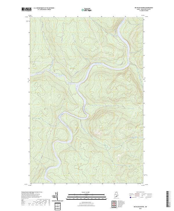
2024 Big Black Rapids
Aroostook County, ME
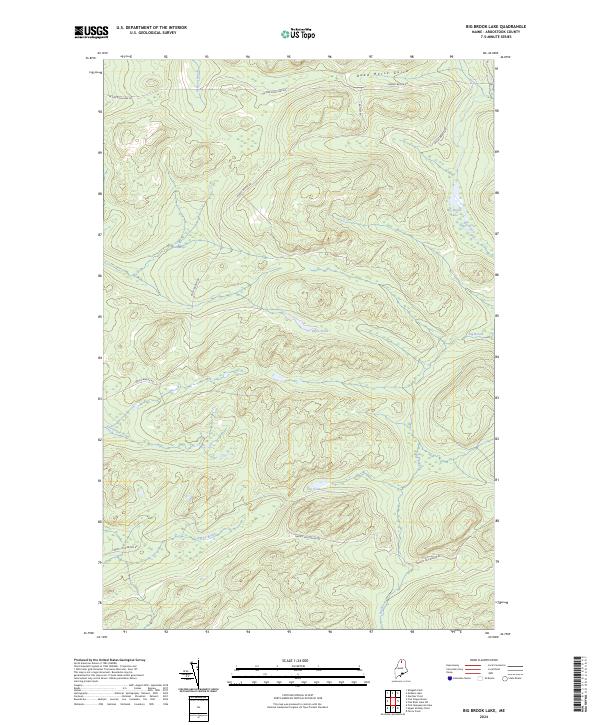
2024 Big Brook Lake
Aroostook County, ME
2024 Big Machias Lake
Aroostook County, ME
2024 Big Rapids
Aroostook County, ME
2024 Blue Brook
Aroostook County, ME
2024 Bridgewater
Aroostook County, ME
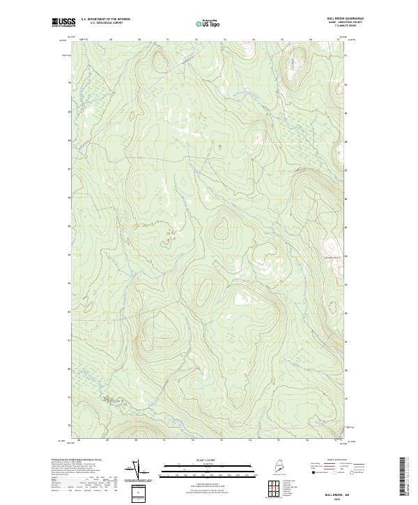
2024 Bull Brook
Aroostook County, ME
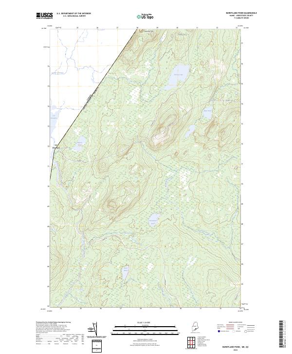
2024 Burntland Pond
Aroostook County, ME
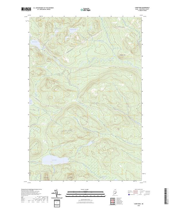
2024 Carr Pond
Aroostook County, ME
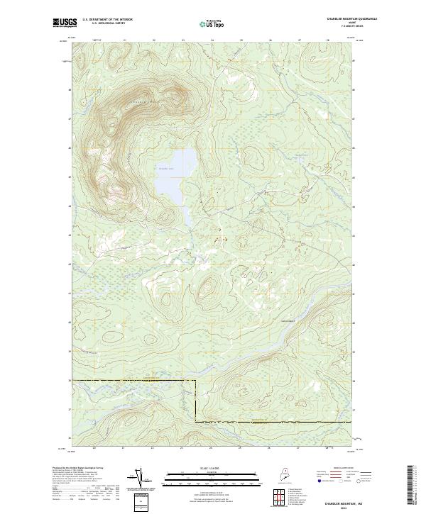
2024 Chandler Mountain
Aroostook County, ME
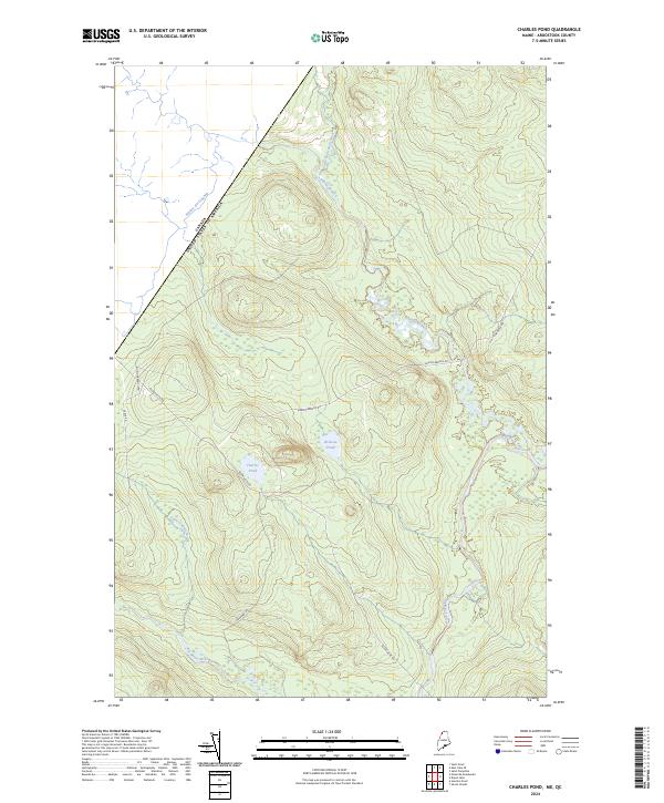
2024 Charles Pond
Aroostook County, ME
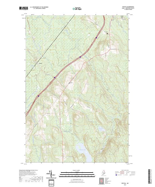
2024 Crystal
Aroostook County, ME
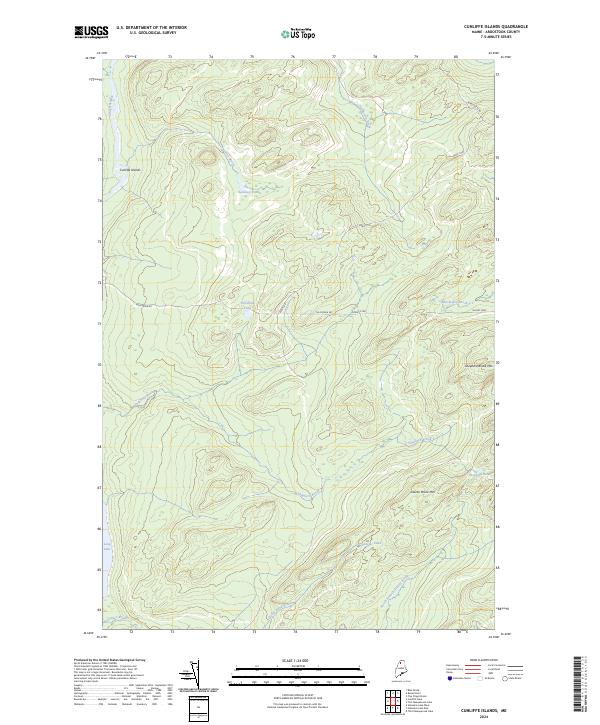
2024 Cunliffe Islands
Aroostook County, ME
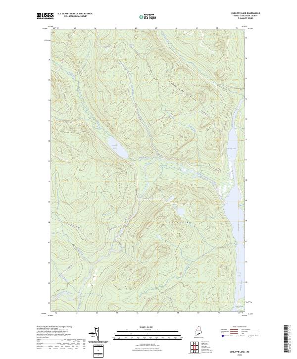
2024 Cunliffe Lake
Aroostook County, ME
2024 Daigle
Aroostook County, ME
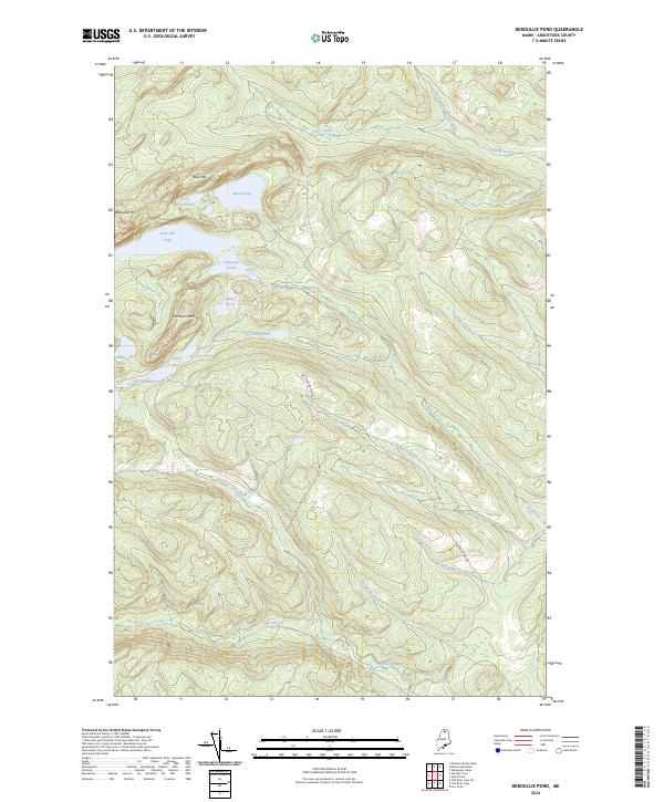
2024 Deboullie Pond
Aroostook County, ME
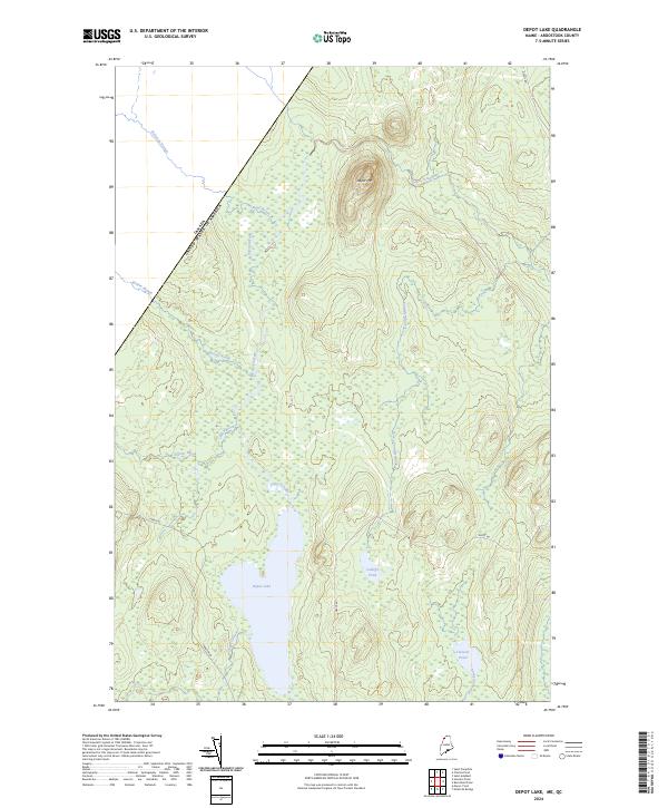
2024 Depot Lake
Aroostook County, ME
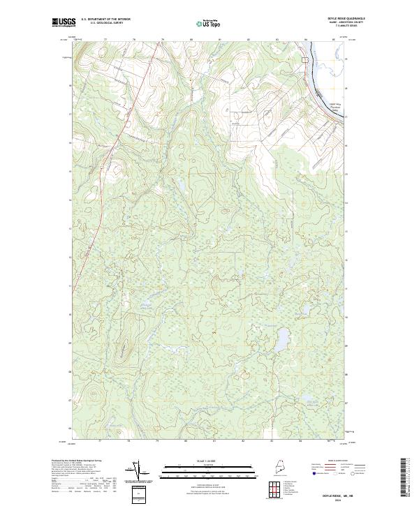
2024 Doyle Ridge
Aroostook County, ME
2024 Eagle Lake
Aroostook County, ME
2024 East Lake
Aroostook County, ME
2024 East Lake SE
Aroostook County, ME
2024 Easton
Aroostook County, ME
2024 Easton Center
Aroostook County, ME
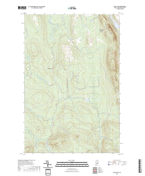
2024 Echo Lake
Aroostook County, ME
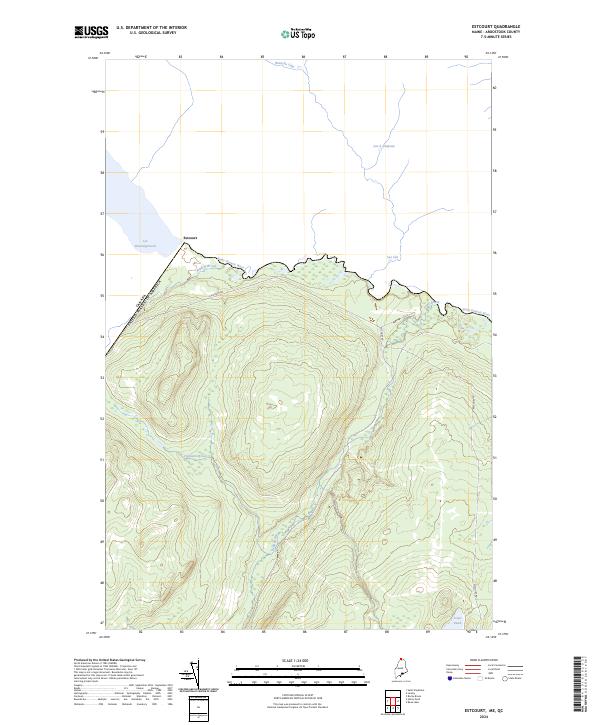
2024 Estcourt
Aroostook County, ME
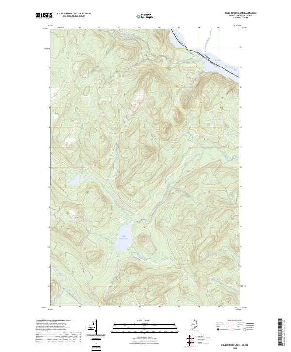
2024 Falls Brook Lake
Aroostook County, ME
2024 Farrar Pond
Aroostook County, ME
2024 First Musquacook Lake
Aroostook County, ME
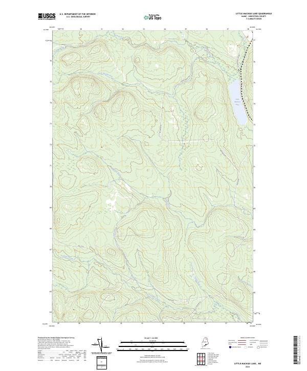
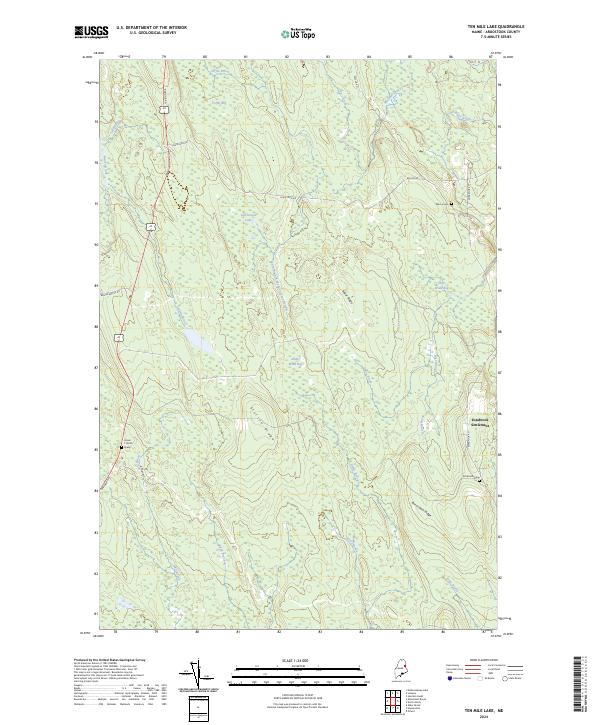
2024 Fish River Lake
Aroostook County, ME
2024 Fish River Lake SW
Aroostook County, ME
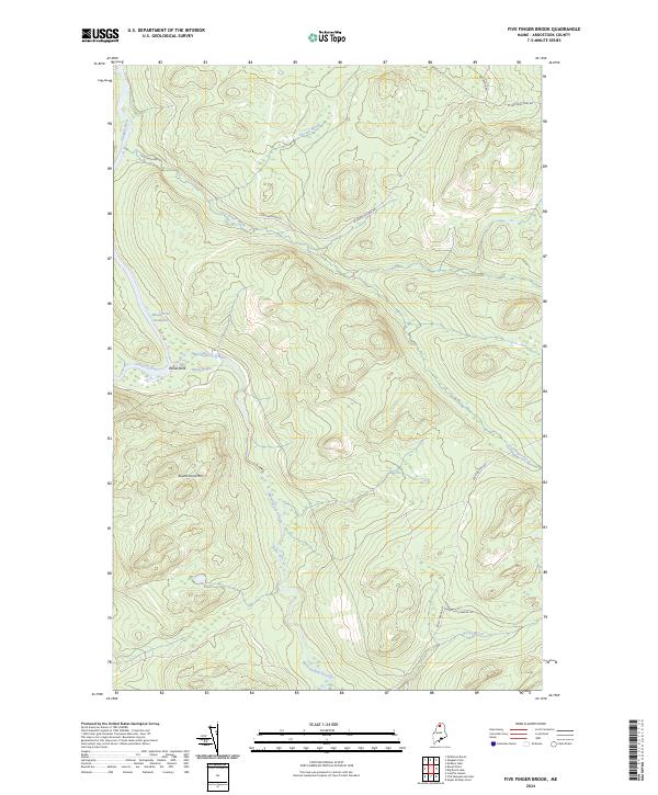
2024 Five Finger Brook
Aroostook County, ME
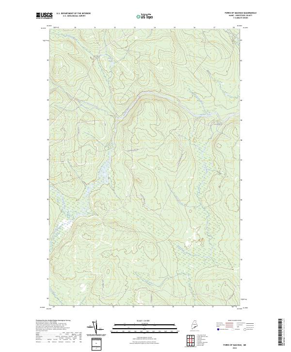
2024 Forks of Machias
Aroostook County, ME
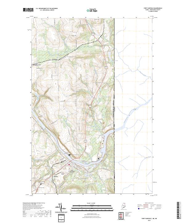
2024 Fort Fairfield
Aroostook County, ME
2024 Fort Fairfield NW
Aroostook County, ME
2024 Fort Kent North
Aroostook County, ME
2024 Fort Kent South
Aroostook County, ME
2024 Frenchville
Aroostook County, ME
2024 Gardner Pond
Aroostook County, ME
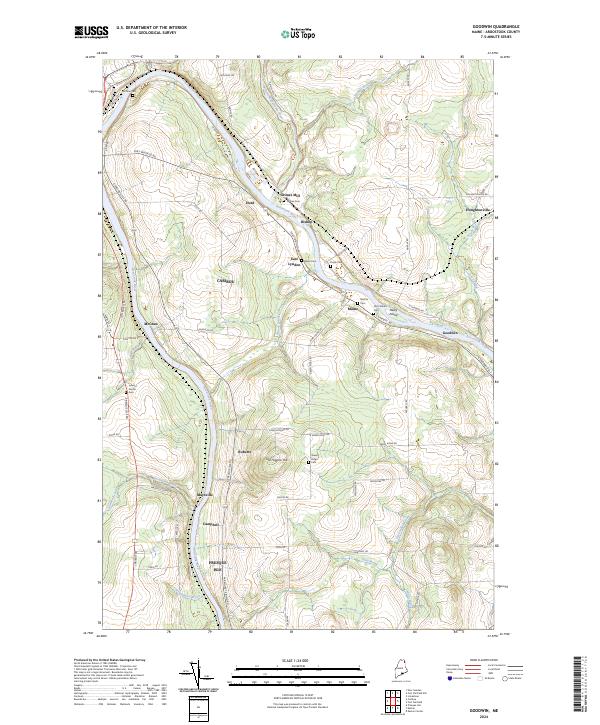
2024 Goodwin
Aroostook County, ME
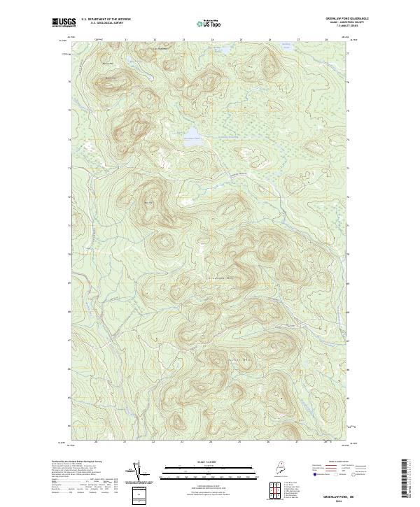
2024 Greenlaw Pond
Aroostook County, ME
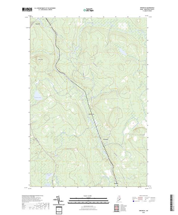
2024 Griswold
Aroostook County, ME
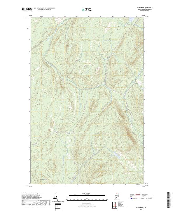
2024 Hafey Pond
Aroostook County, ME
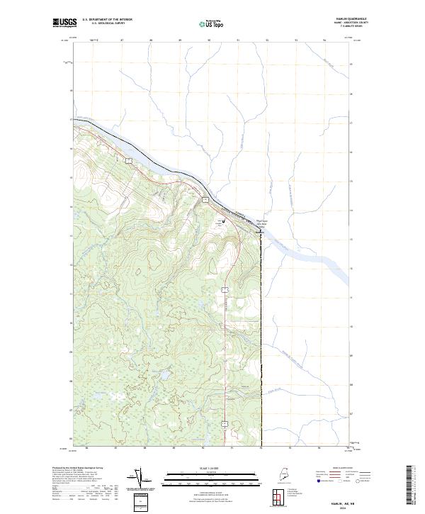
2024 Hamlin
Aroostook County, ME
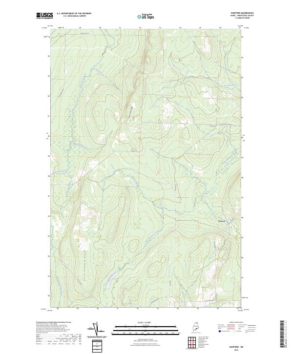
2024 Hanford
Aroostook County, ME
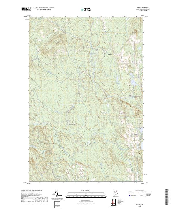
2024 Harvey
Aroostook County, ME
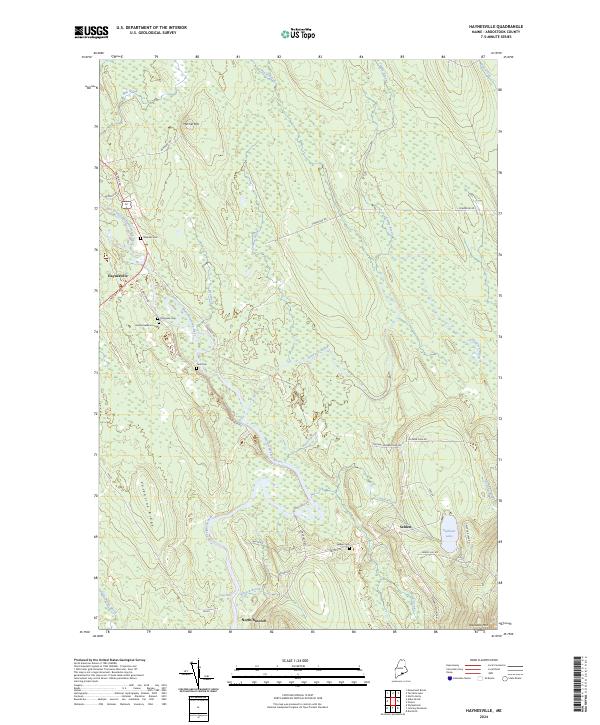
2024 Haynesville
Aroostook County, ME
2024 Houlton North
Aroostook County, ME
2024 Houlton Pond
Aroostook County, ME
2024 Houlton South
Aroostook County, ME
2024 Island Pond
Aroostook County, ME
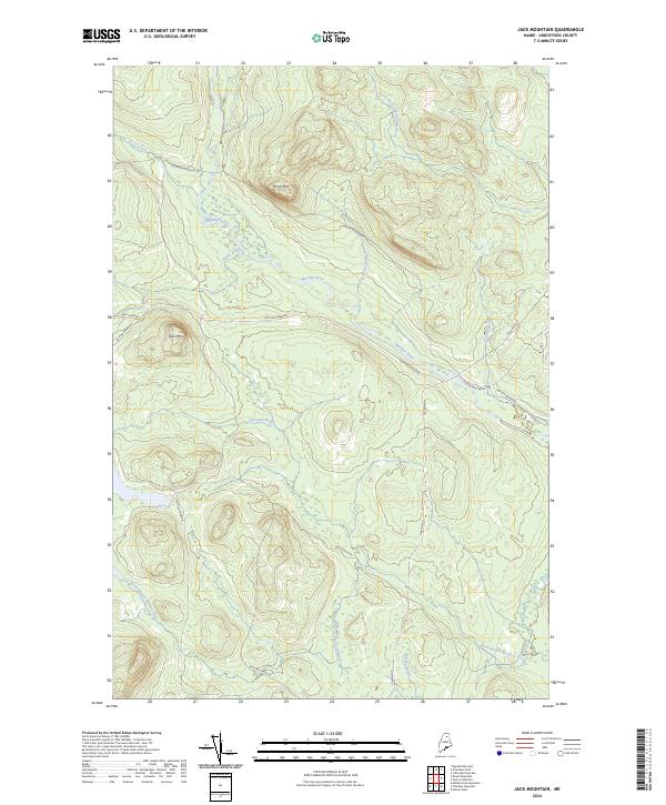
2024 Jack Mountain
Aroostook County, ME
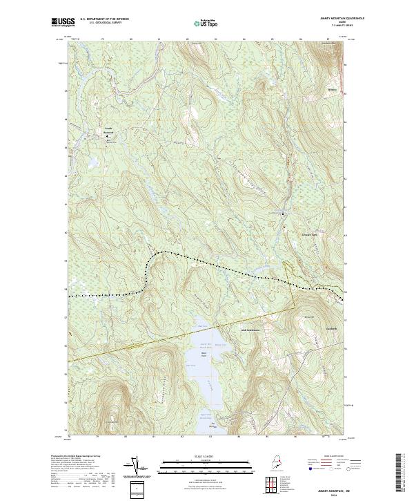
2024 Jimmey Mountain
Aroostook County, ME
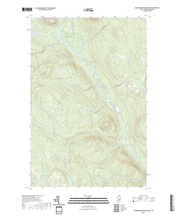
2024 Johnson Brook Mountain
Aroostook County, ME
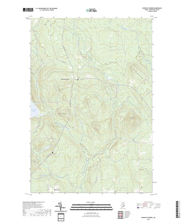
2024 Knowles Corner
Aroostook County, ME
2024 Landry
Aroostook County, ME
2024 Lille
Aroostook County, ME
2024 Limestone
Aroostook County, ME
2024 Linneus
Aroostook County, ME
2024 Little Machias Lake
Aroostook County, ME
2024 Ludlow
Aroostook County, ME
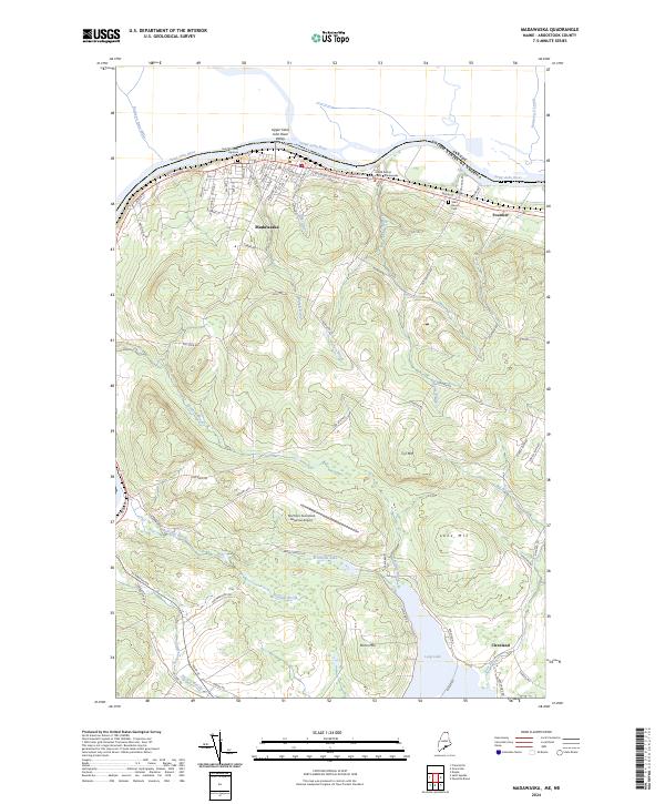
2024 Madawaska
Aroostook County, ME
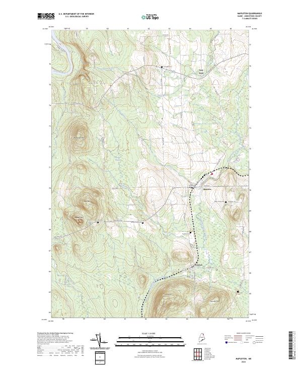
2024 Mapleton
Aroostook County, ME
2024 Mars Hill
Aroostook County, ME
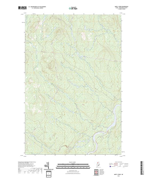
2024 Mary L Pond
Aroostook County, ME
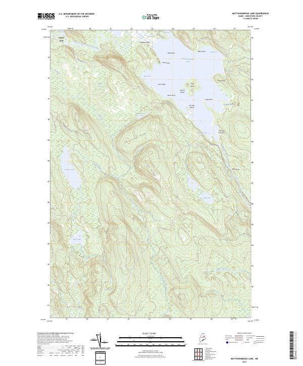
2024 Mattawamkeag Lake
Aroostook County, ME
2024 McClusky Lake
Aroostook County, ME
2024 McKeen Lake
Aroostook County, ME
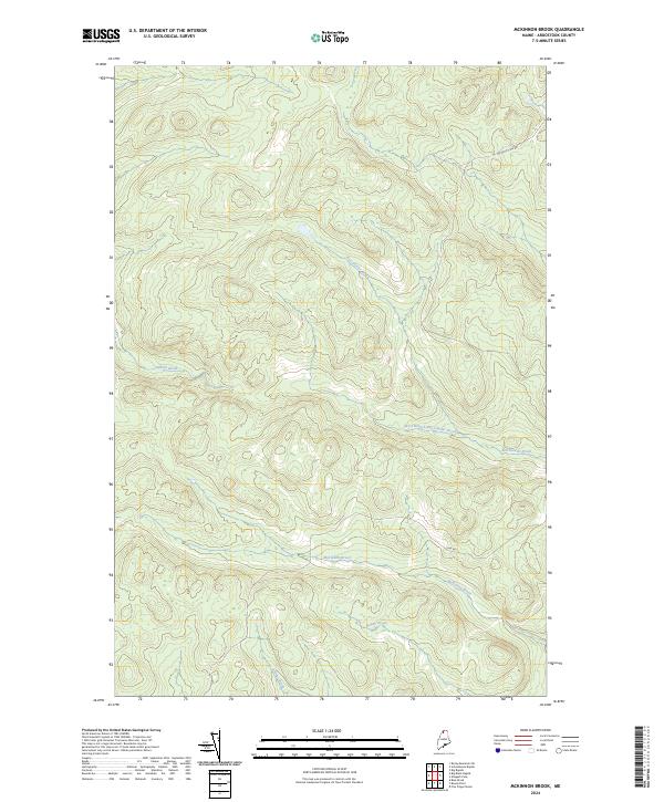
2024 McKinnon Brook
Aroostook County, ME
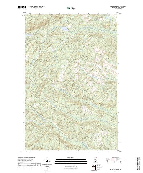
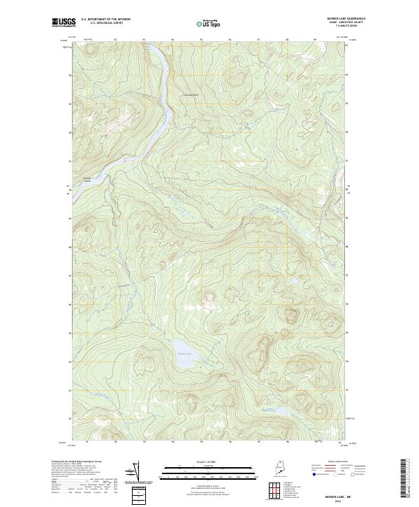
2024 McLean Mountain
Aroostook County, ME
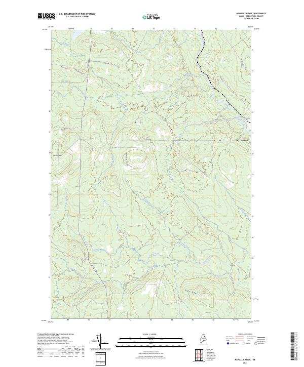
2024 McNally Ridge
Aroostook County, ME
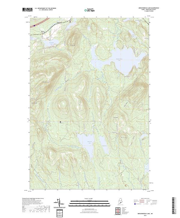
2024 Meduxnekeag Lake
Aroostook County, ME
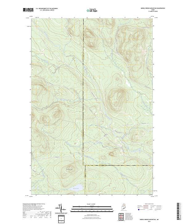
2024 Middle Brook Mountain
Aroostook County, ME
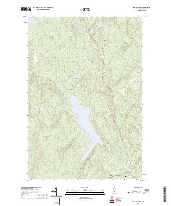
2024 Molunkus Lake
Aroostook County, ME
2024 Monarda
Aroostook County, ME
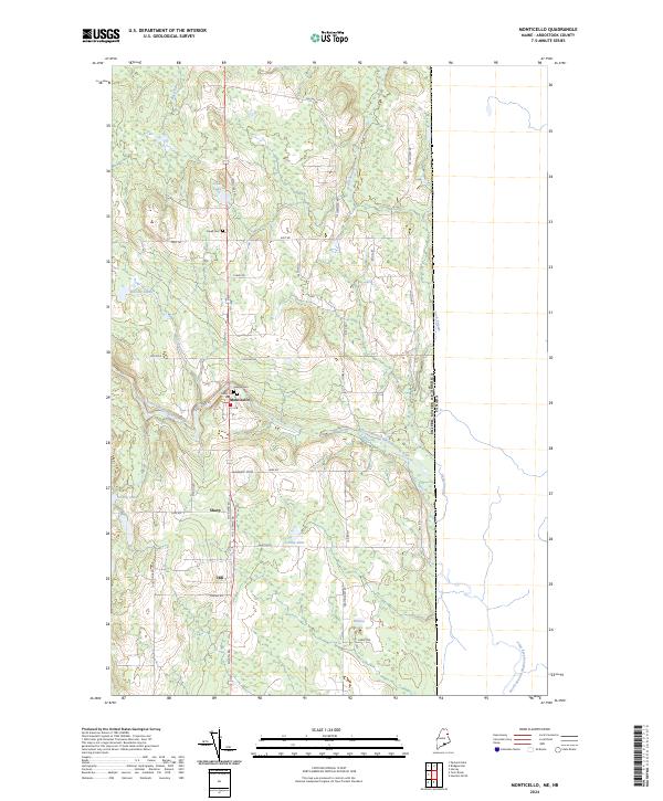
2024 Monticello
Aroostook County, ME
2024 Monument Brook
Aroostook County, ME
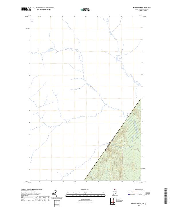
2024 Morrison Brook
Aroostook County, ME
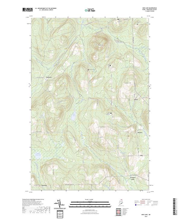
2024 Mud Lake
Aroostook County, ME
2024 New Sweden
Aroostook County, ME
2024 Ninemile Bridge
Aroostook County, ME
2024 Ninemile Deadwater
Aroostook County, ME
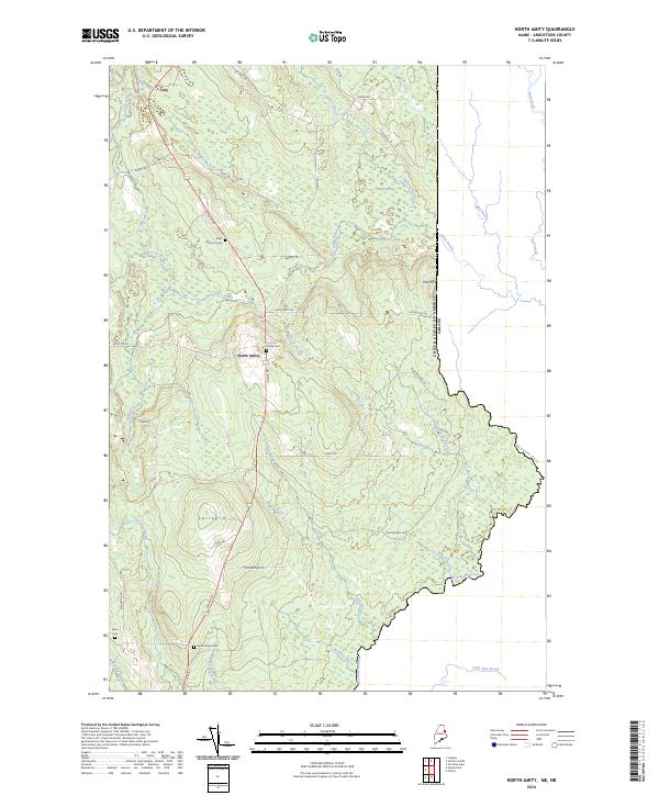
2024 North Amity
Aroostook County, ME
2024 North Brook Ridge
Aroostook County, ME
2024 Number Nine Lake
Aroostook County, ME
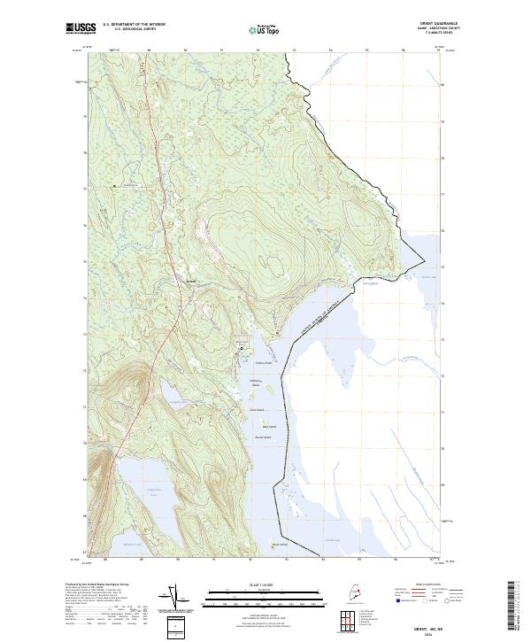
2024 Orient
Aroostook County, ME
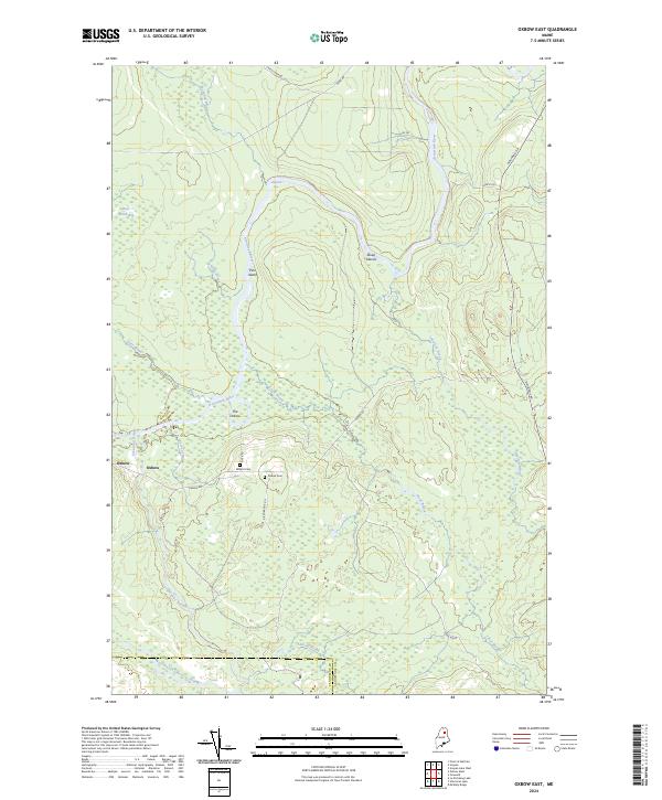
2024 Oxbow East
Aroostook County, ME
2024 Oxbow West
Aroostook County, ME
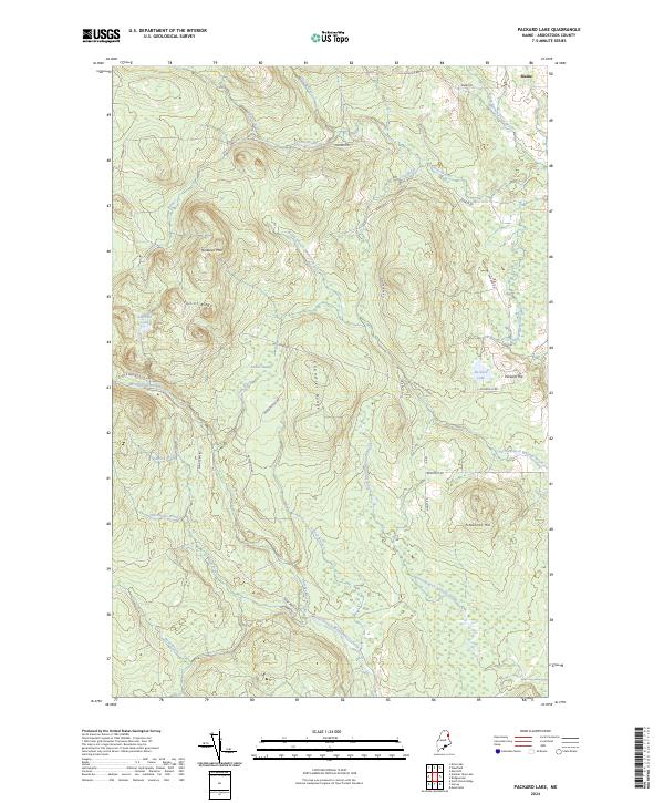
2024 Packard Lake
Aroostook County, ME
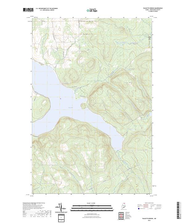
2024 Paulette Brook
Aroostook County, ME
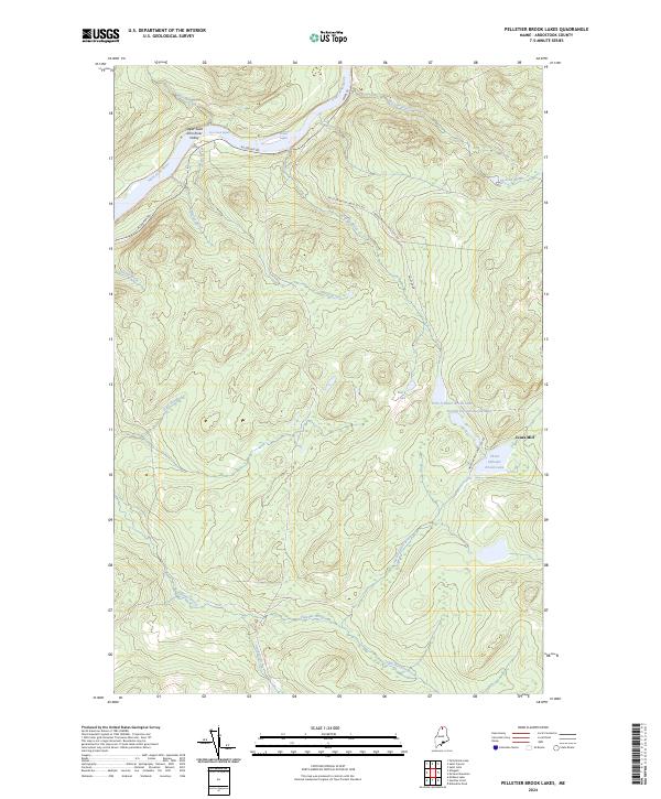
2024 Pelletier Brook Lakes
Aroostook County, ME
2024 Picard Brook
Aroostook County, ME
2024 Portage Lake East
Aroostook County, ME
2024 Portage Lake West
Aroostook County, ME
2024 Reed Pond
Aroostook County, ME
2024 Rocky Brook
Aroostook County, ME
2024 Rocky Mountain
Aroostook County, ME
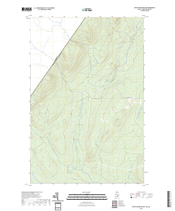
2024 Rocky Mountain NW
Aroostook County, ME
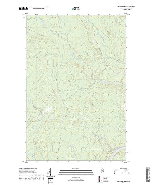
2024 Rocky Mountain SW
Aroostook County, ME
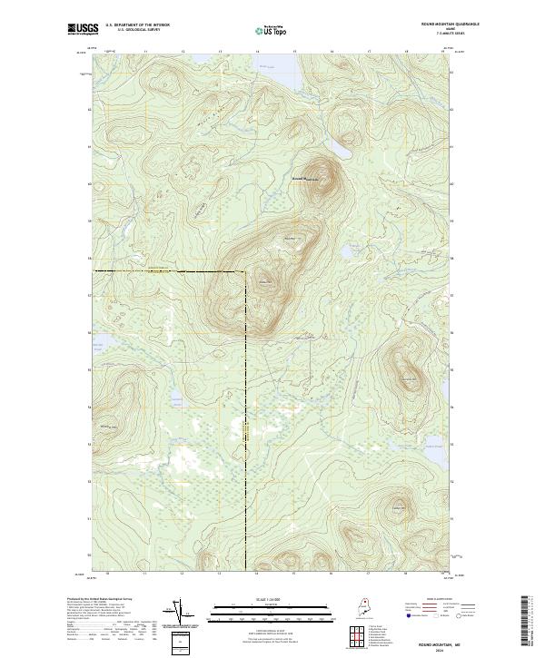
2024 Round Mountain
Aroostook County, ME
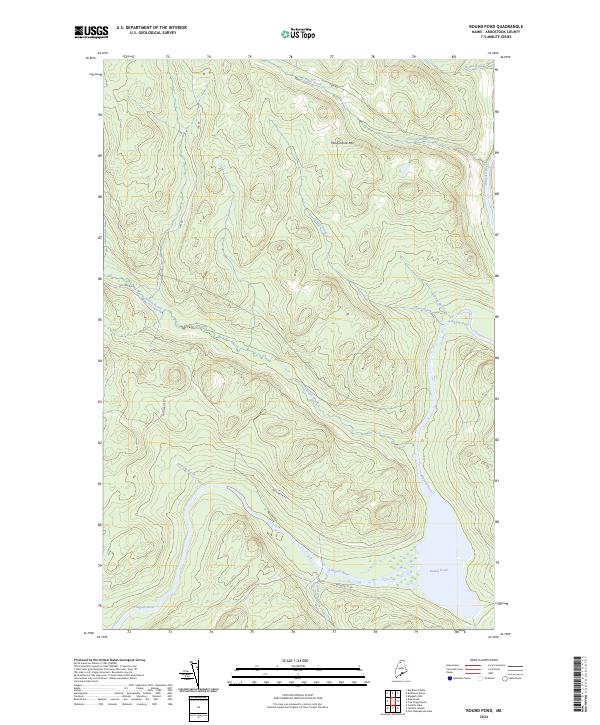
2024 Round Pond
Aroostook County, ME
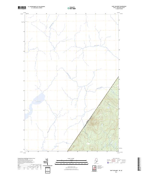
2024 Saint Adalbert
Aroostook County, ME
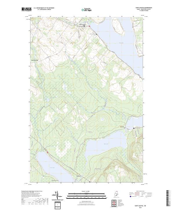
2024 Saint Agatha
Aroostook County, ME
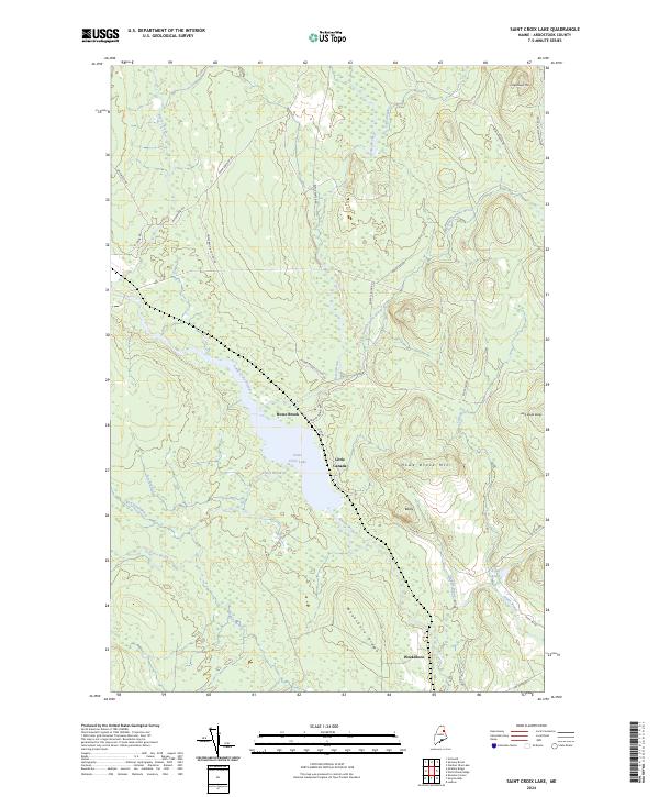
2024 Saint Croix Lake
Aroostook County, ME
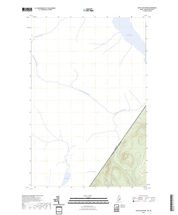
2024 Saint Eleuthere
Aroostook County, ME
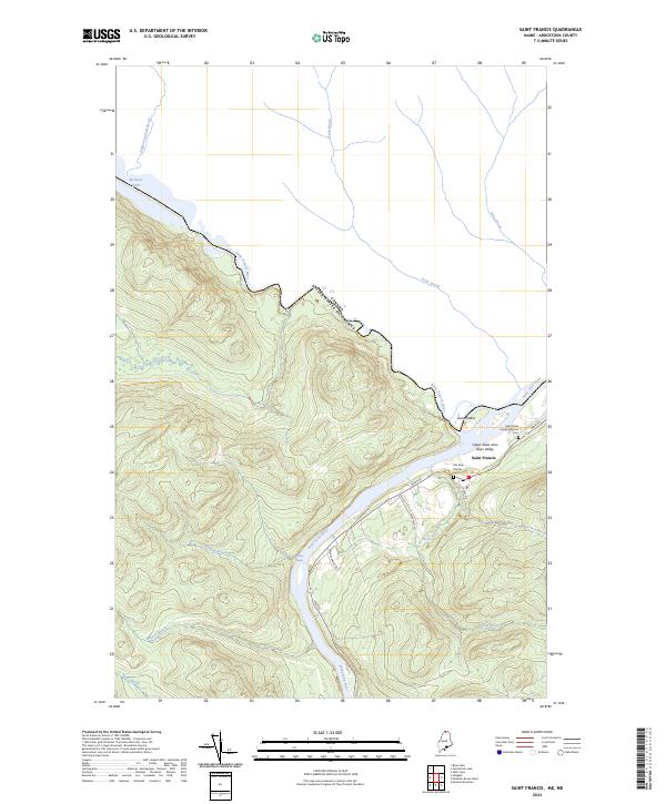
2024 Saint Francis
Aroostook County, ME
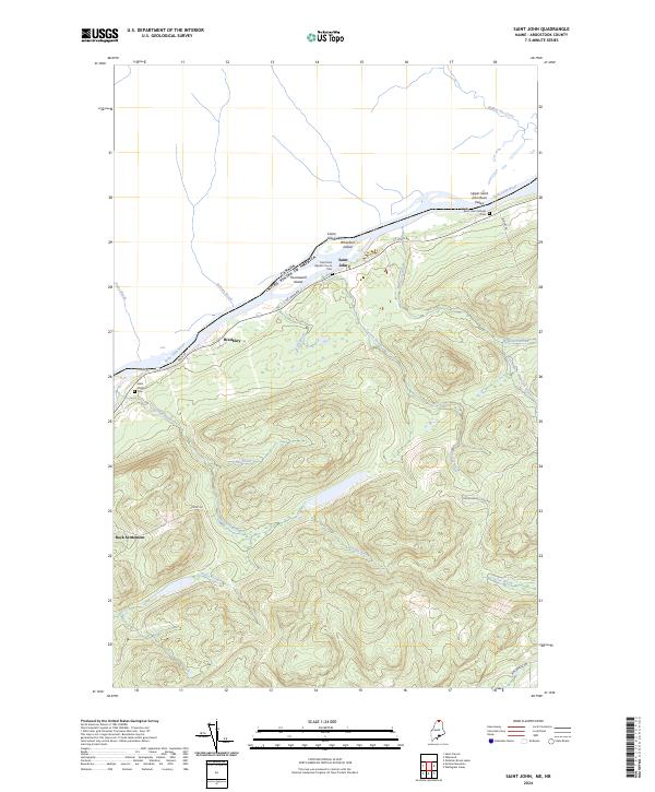
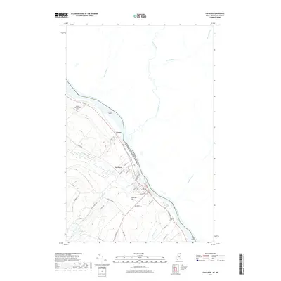
2024 Saint John
Aroostook County, ME
2024 Saint Omer
Aroostook County, ME
2024 Saint Pamphile
Aroostook County, ME
2024 Schoolhouse Rapids
Aroostook County, ME
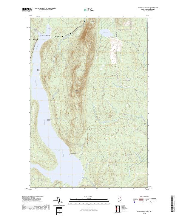
2024 Scopan
Aroostook County, ME
2024 Scopan Lake East
Aroostook County, ME
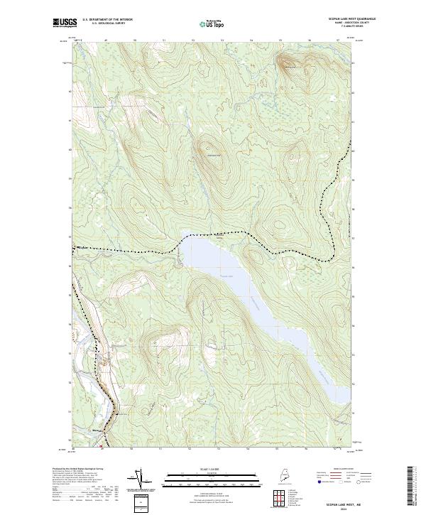
2024 Scopan Lake West
Aroostook County, ME
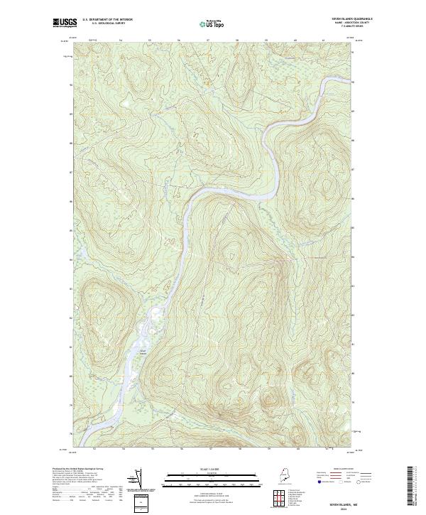
2024 Seven Islands
Aroostook County, ME
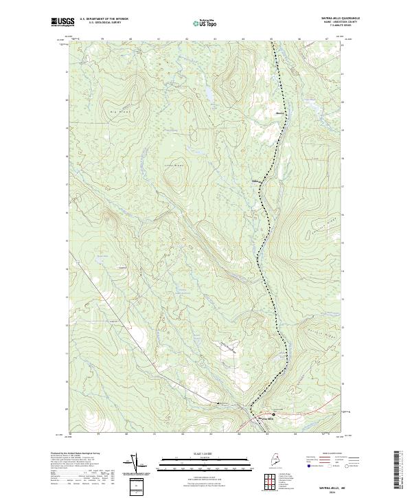
2024 Smyrna Mills
Aroostook County, ME
2024 Spinney Brook
Aroostook County, ME
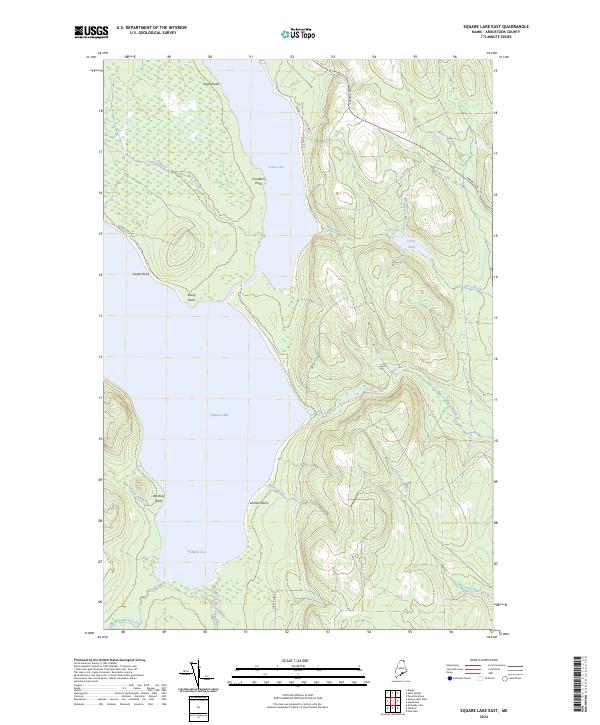
2024 Square Lake East
Aroostook County, ME
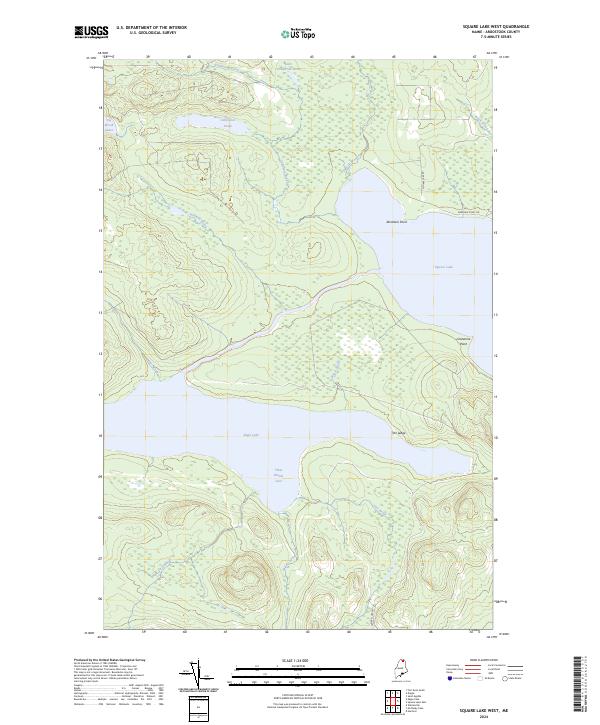
2024 Square Lake West
Aroostook County, ME
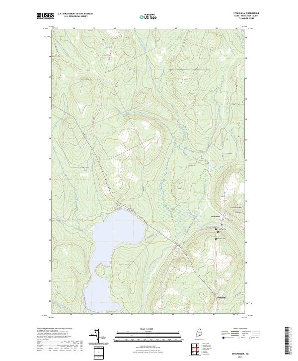
2024 Stockholm
Aroostook County, ME
2024 Ten Mile Lake
Aroostook County, ME
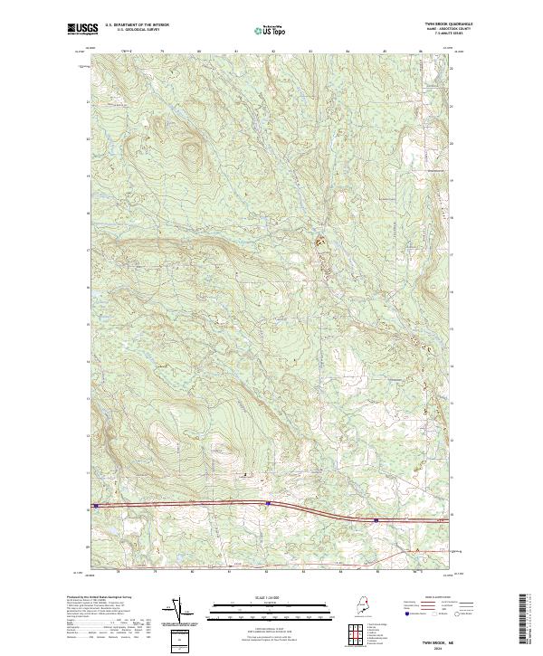
2024 Twin Brook
Aroostook County, ME
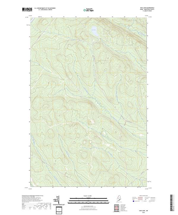
2024 Ugh Lake
Aroostook County, ME
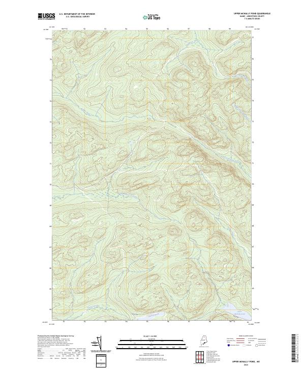
2024 Upper McNally Pond
Aroostook County, ME
2024 Van Buren
Aroostook County, ME
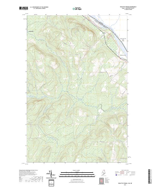
2024 Violette Stream
Aroostook County, ME
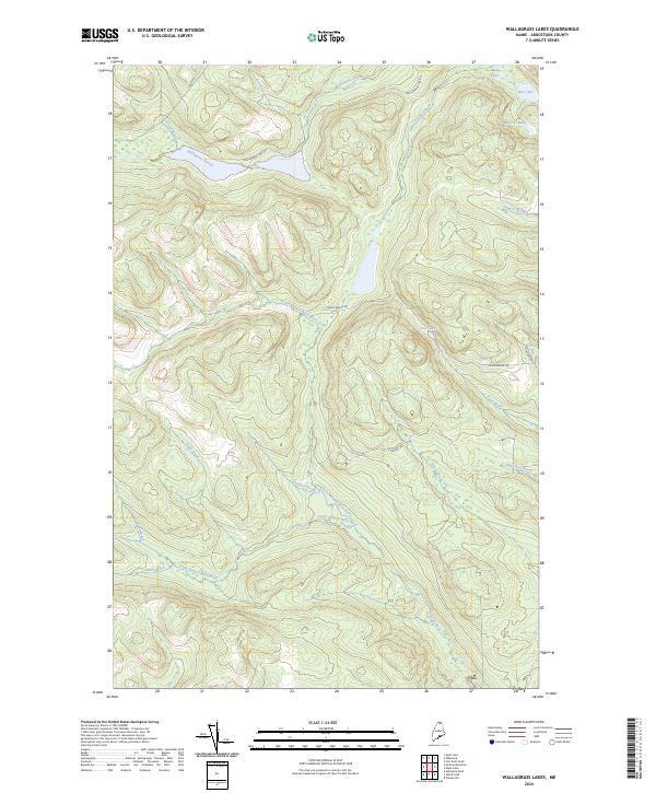
2024 Wallagrass Lakes
Aroostook County, ME

2024 Washburn
Aroostook County, ME
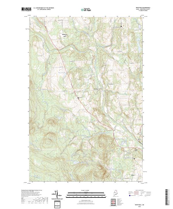
2024 Westfield
Aroostook County, ME
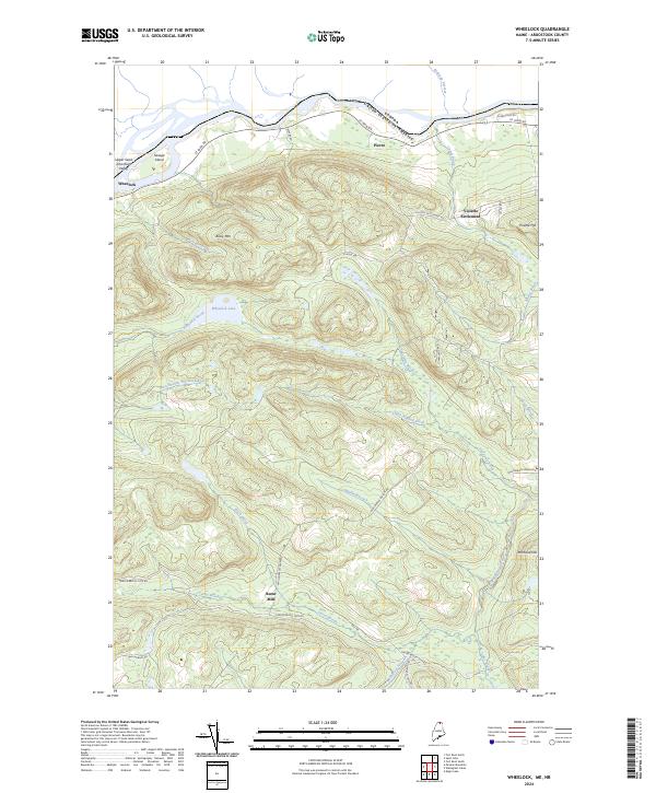
2024 Wheelock
Aroostook County, ME
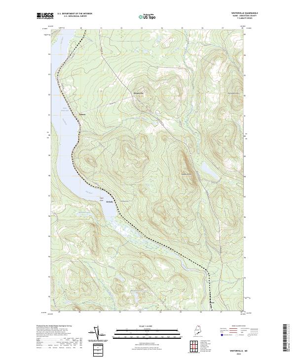
2024 Winterville
Aroostook County, ME
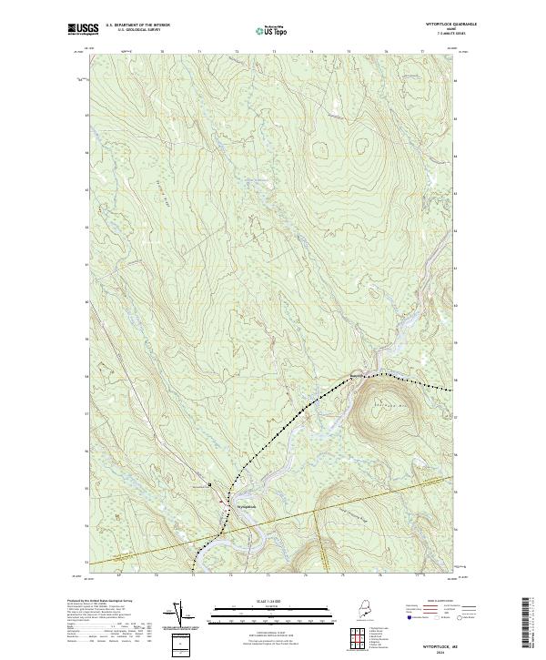
2024 Wytopitlock
Aroostook County, ME
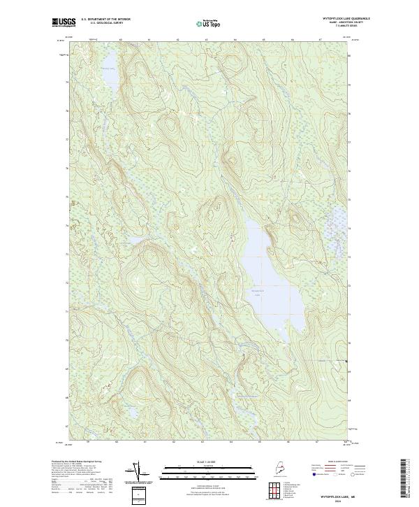
2024 Wytopitlock Lake
Aroostook County, ME
2024 York Ridge
Aroostook County, ME