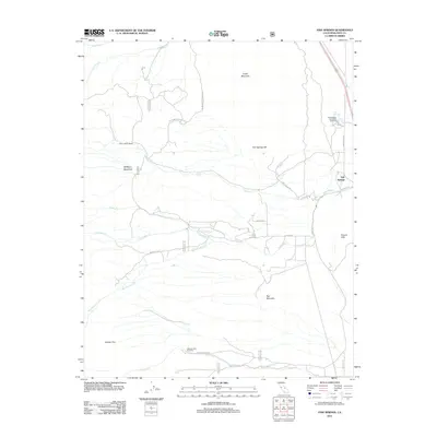
2012 Map of Fish Springs
USGS Topo · Published 2012About this map
The Fish Springs State Fish Hatchery anchors the eastern edge of this Owens Valley landscape, situated along the base of the Poverty Hills. The 2012 topography is defined by dramatic volcanic and alluvial features, including the prominent rise of Crater Mountain and Fish Springs Hill. Water management and natural drainage patterns are central to the area's layout, with Tinemaha Cr and Taboose Cr flowing toward the valley floor from the high western slopes.
Find a feature on this map
31 named features on this map. Tap any name to fly to it.
Don’t see what you’re looking for? This feature index may not catch every label — zoom into the map to look around manually.
Map Details
Editions of this 2012 Fish Springs Map
This is the sole edition of this map. No revisions or reprints were ever made.
Other maps of this area

1907 · Mt. Whitney
USGS Topo · 1:125,000

1913 · Bishop
USGS Topo · 1:125,000

1919 · Mt. Whitney
USGS Topo · 1:125,000

1937 · Mt. Whitney
USGS Topo · 1:125,000

1947 · Mariposa
USGS Topo · 1:250,000

1948 · Fresno
USGS Topo · 1:250,000

1948 · Mariposa
USGS Topo · 1:250,000

1950 · Big Pine
USGS Topo · 1:62,500

1951 · Waucoba Mtn.
USGS Topo · 1:62,500

1951 · Independence
USGS Topo · 1:62,500