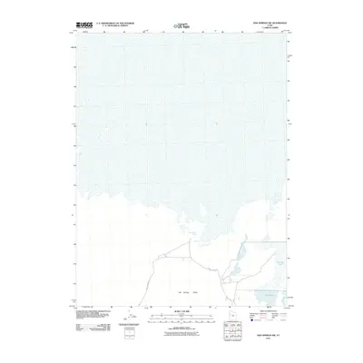
2011 Map of Fish Springs NW
USGS Topo · Published 2011About this map
Pony Express Rd cuts across this arid landscape, following the historic transcontinental mail route through the western salt flats of Tooele County. The terrain is dominated by the northern reaches of the Fish Springs Range, where the steep slopes descend into a basin marked by unique geothermal and aquatic features. Isolated water sources like Wilson Health Springs provide critical points of interest in an otherwise sparse environment, while to the southeast, the geography transitions into managed wetlands including Harrison Pool and Pintail Pool. This 2011 survey captures a remote section of the Great Basin where the heritage of nineteenth-century overland travel meets the fragile hydrology of the desert floor.
Find a feature on this map
5 named features on this map. Tap any name to fly to it.
Don’t see what you’re looking for? This feature index may not catch every label — zoom into the map to look around manually.
Map Details
Editions of this 2011 Fish Springs NW Map
This is the sole edition of this map. No revisions or reprints were ever made.
Other maps of this area

1908 · Fish Springs
USGS Topo · 1:250,000

1910 · Fish Springs
USGS Topo · 1:250,000

1953 · Tooele
USGS Topo · 1:250,000

1953 · Delta
USGS Topo · 1:250,000

1954 · Granite Peak SE
USGS Topo · 1:24,000

1955 · Tooele
USGS Topo · 1:250,000

1958 · Delta
USGS Topo · 1:250,000

1962 · Delta
USGS Topo · 1:250,000

1967 · Fish Springs NW
USGS Topo · 1:24,000

1967 · Fish Springs SE
USGS Topo · 1:24,000