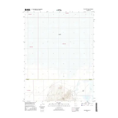
2017 Map of Fish Springs NW
USGS Topo · Published 2017About this map
The Great Salt Lake Desert dominates the northern reaches of this Tooele County survey, transitioning into the marshy lowland known as Fish Springs Flat to the south. This area represents a critical intersection of historical transit and natural hydrology, where the high ridges of the Fish Springs Range overlook a network of springs and pools. Historically significant routes are preserved here, most notably the Pony Express Rd, which skirts the western edge of the mountains, following a path dictated by the scarce water sources of the West Desert.
Find a feature on this map
16 named features on this map. Tap any name to fly to it.
Don’t see what you’re looking for? This feature index may not catch every label — zoom into the map to look around manually.
Map Details
Editions of this 2017 Fish Springs NW Map
This is the sole edition of this map. No revisions or reprints were ever made.
Other maps of this area

1908 · Fish Springs
USGS Topo · 1:250,000

1910 · Fish Springs
USGS Topo · 1:250,000

1953 · Tooele
USGS Topo · 1:250,000

1953 · Delta
USGS Topo · 1:250,000

1954 · Granite Peak SE
USGS Topo · 1:24,000

1955 · Tooele
USGS Topo · 1:250,000

1958 · Delta
USGS Topo · 1:250,000

1962 · Delta
USGS Topo · 1:250,000

1967 · Fish Springs NW
USGS Topo · 1:24,000

1967 · Fish Springs SE
USGS Topo · 1:24,000