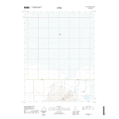
2020 Map of Fish Springs NW
USGS Topo · Published 2020About this map
The Pony Express Rd cuts through this arid landscape, tracing a legendary path of American transport history across the border of Tooele Co and Juab Co. The southern portion of the map is dominated by the steep elevations of the Fish Springs Range, which descends sharply into the wide expanse of Fish Springs Flat. This area is a critical hydrological focal point in the Great Salt Lake Desert, featuring a concentrated network of water sources such as Wilson Health Springs, North Springs, and the aptly named Deadman Spring. The presence of Harrison Pool and Pintail Pool suggests a unique wetland ecosystem within the salt desert, where these isolated springs provided essential lifelines for travelers and wildlife alike throughout the nineteenth and twentieth centuries.
Find a feature on this map
12 named features on this map. Tap any name to fly to it.
Don’t see what you’re looking for? This feature index may not catch every label — zoom into the map to look around manually.
Map Details
Editions of this 2020 Fish Springs NW Map
This is the sole edition of this map. No revisions or reprints were ever made.
Other maps of this area

1908 · Fish Springs
USGS Topo · 1:250,000

1910 · Fish Springs
USGS Topo · 1:250,000

1953 · Tooele
USGS Topo · 1:250,000

1953 · Delta
USGS Topo · 1:250,000

1954 · Granite Peak SE
USGS Topo · 1:24,000

1955 · Tooele
USGS Topo · 1:250,000

1958 · Delta
USGS Topo · 1:250,000

1962 · Delta
USGS Topo · 1:250,000

1967 · Fish Springs NW
USGS Topo · 1:24,000

1967 · Fish Springs SE
USGS Topo · 1:24,000