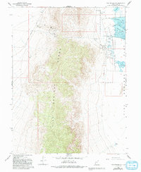
1967 Map of Fish Springs SW
USGS Topo · Published 1993About this map
The Fish Springs National Wildlife Refuge dominates the eastern edge of this landscape, where the Fish Springs Range meets the vast Mud Flat. This 1967 survey captures a remote intersection of natural preservation and historical industry, notably along the Pony Express Road where the Pony Express Monument marks the legacy of early transcontinental mail. To the west, the mountainside is pockmarked with mining history, evidenced by the Galena Mine, Utah Mine, and Emma Mine. A small Cem and the Joseph Adit further illustrate the era of extraction in the high country. Water is the defining resource here, with numerous vital sources like Mirror Spring, Middle Spring, and Cane Springs providing life in an otherwise arid basin. The refuge area is specifically detailed with managed water bodies including Pintail Pool and Mallard Pool.
Find a feature on this map
32 named features on this map. Tap any name to fly to it.
Don’t see what you’re looking for? This feature index may not catch every label — zoom into the map to look around manually.
Map Details
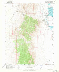
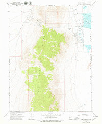
Editions of this 1967 Fish Springs SW Map
3 editions found
Other maps of this area

1908 · Fish Springs
USGS Topo · 1:250,000

1910 · Fish Springs
USGS Topo · 1:250,000

1953 · Delta
USGS Topo · 1:250,000

1958 · Delta
USGS Topo · 1:250,000

1960 · Granite Mountain
USGS Topo · 1:62,500

1962 · Delta
USGS Topo · 1:250,000

1967 · Sand Pass NW
USGS Topo · 1:24,000

1967 · Fish Springs NW
USGS Topo · 1:24,000

1967 · Fish Springs SE
USGS Topo · 1:24,000
1967 · Sand Pass NE
USGS Topo · 1:24,000