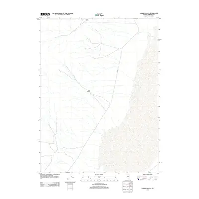
2011 Map of Fisher Canyon
USGS Topo · Published 2011About this map
Old Emigrant Trl cuts across this Pershing County landscape, marking a historical path through the high desert of the Great Basin. This 2011 survey focuses on the arid drainage systems and terrain formations northeast of the Humboldt Sink. The topography is defined by the significant incisions of Fisher Canyon in the north and Cow Canyon further south, both of which channel seasonal runoff toward the desert floor. Near the northeastern corner of the map, Buffalo Springs provides a rare and critical water source in an otherwise parched environment. The sparse road network and lack of modern settlements highlight the enduring isolation of this region, where the primary evidence of human passage remains the ancient route of the emigrant trail.
Find a feature on this map
4 named features on this map. Tap any name to fly to it.
Don’t see what you’re looking for? This feature index may not catch every label — zoom into the map to look around manually.
Map Details
Editions of this 2011 Fisher Canyon Map
This is the sole edition of this map. No revisions or reprints were ever made.
Other maps of this area

1931 · Lovelock
USGS Topo · 1:250,000

1932 · Sonoma Range
USGS Topo · 1:250,000

1935 · Lovelock
USGS Topo · 1:250,000

1939 · Sonoma Range
USGS Topo · 1:250,000

1954 · Unionville
USGS Topo · 1:62,500

1954 · Buffalo Mtn
USGS Topo · 1:62,500

1955 · Lovelock
USGS Topo · 1:250,000

1955 · Winnemucca
USGS Topo · 1:250,000

1958 · Winnemucca
USGS Topo · 1:250,000

1959 · Lovelock
USGS Topo · 1:250,000