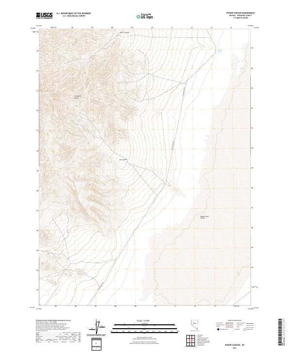
2021 Map of Fisher Canyon
USGS Topo · Published 2021About this map
The Old Emigrant Rd carves through this remote Pershing County landscape, tracing a historic path between the steep slopes of the Humboldt Range and the expanse of the Buena Vista Valley. The terrain is defined by dramatic elevation changes, where seasonal drainages like Fisher Canyon and Cow Canyon cut through the high ridges. This 2021 survey illustrates a classic Great Basin environment where water remains the most critical landmark. A point of specific interest for historians is Buffalo Springs, located on the valley floor, which traditionally served as a vital water source in an otherwise arid region. The map provides a precise look at the township and range system, marking the intersections of T27N and T28N, while documenting how early transportation routes were dictated by the natural breaks in the mountain range.
Find a feature on this map
12 named features on this map. Tap any name to fly to it.
Don’t see what you’re looking for? This feature index may not catch every label — zoom into the map to look around manually.
Map Details
Editions of this 2021 Fisher Canyon Map
This is the sole edition of this map. No revisions or reprints were ever made.
Other maps of this area

1931 · Lovelock
USGS Topo · 1:250,000

1932 · Sonoma Range
USGS Topo · 1:250,000

1935 · Lovelock
USGS Topo · 1:250,000

1939 · Sonoma Range
USGS Topo · 1:250,000

1954 · Unionville
USGS Topo · 1:62,500

1954 · Buffalo Mtn
USGS Topo · 1:62,500

1955 · Lovelock
USGS Topo · 1:250,000

1955 · Winnemucca
USGS Topo · 1:250,000

1958 · Winnemucca
USGS Topo · 1:250,000

1959 · Lovelock
USGS Topo · 1:250,000