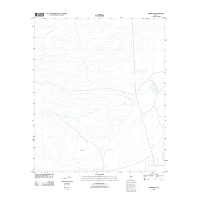
2011 Map of Fisher Hills
USGS Topo · Published 2011About this map
Fisher Hills rises as a prominent landform in this southern Arizona landscape, defining the drainage patterns of the surrounding basin. To the north and west, the terrain is etched by the seasonal watercourses of Willow Spring Wash and Dial Wash, which illustrate the arid hydrologic network of Cochise County. A rare point of water catchment appears at Creighton Reservoir, a small impoundment situated at the base of the hills. The map reflects a largely open landscape in the early 21st century, where the interaction of topography and dry washes dictates the placement of local infrastructure and land use.
Find a feature on this map
4 named features on this map. Tap any name to fly to it.
Don’t see what you’re looking for? This feature index may not catch every label — zoom into the map to look around manually.
Map Details
Editions of this 2011 Fisher Hills Map
This is the sole edition of this map. No revisions or reprints were ever made.
Other maps of this area

1917 · San Simon
USGS Topo · 1:125,000

1922 · Willcox
USGS Topo · 1:125,000

1928 · Bowie
USGS Topo · 1:62,500

1944 · Fisher Hills
USGS Topo · 1:62,500

1949 · Bowie
USGS Topo · 1:62,500

1950 · Bowie
USGS Topo · 1:62,500

1954 · Silver City
USGS Topo · 1:250,000

1957 · Luzena
USGS Topo · 1:62,500

1958 · Silver City
USGS Topo · 1:250,000

1962 · Silver City
USGS Topo · 1:250,000