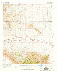
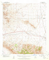
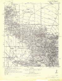
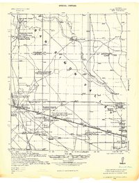
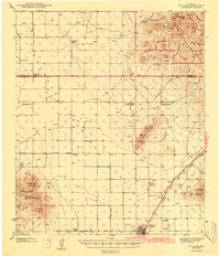
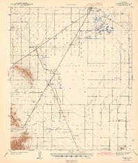
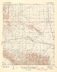
1957 Map of Luzena
USGS Topo · Published 1959About this map
Railroad Pass serves as the topographic gateway through which the Southern Pacific railroad and a major highway traverse the desert between the Pinaleno Mountains and the Dos Cabezas Mountains. This mid-century landscape is defined by its ranching and mining infrastructure, with named settlements like Luzena and Raso situated along the rail line. The southern portion of the quadrangle shows intense drainage patterns through Maverick Canyon and California Gulch, while the isolated Buckeye Apache Mine sits on the lower slopes of the range.
Find a feature on this map
51 named features on this map. Tap any name to fly to it.
Don’t see what you’re looking for? This feature index may not catch every label — zoom into the map to look around manually.
Map Details
Editions of this 1957 Luzena Map
2 editions found
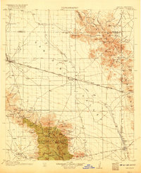
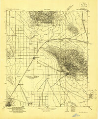
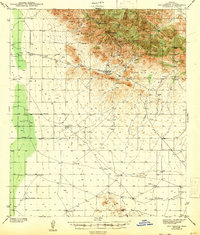
Other maps of this area
1917 · San Simon
USGS Topo · 1:125,000
1922 · Willcox
USGS Topo · 1:125,000
1926 · Cochise Head
USGS Topo · 1:62,500
1928 · Bowie
USGS Topo · 1:62,500
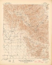
1942 · Mt. Graham
USGS Topo · 1:62,500
1943 · Dos Cabezas
USGS Topo · 1:62,500
1943 · Willcox
USGS Topo · 1:62,500
1943 · Cochise
USGS Topo · 1:62,500
1944 · Fisher Hills
USGS Topo · 1:62,500

1945 · Mt. Graham
USGS Topo · 1:62,500