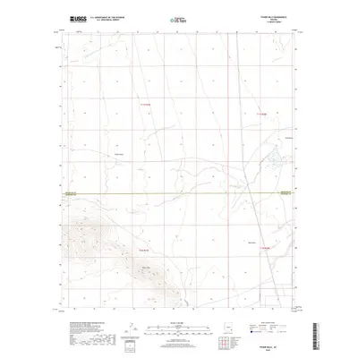
2018 Map of Fisher Hills
USGS Topo · Published 2018About this map
Fisher Hills rises as a prominent landmark in the high desert at the border of Graham and Cochise Counties. This landscape is defined by its drainage patterns, where seasonal watercourses like Willow Spring Wash and Dial Wash cut through the arid terrain. The topography is largely open and influenced by ranching or utility access, as seen by the path of Rio Oro Trl crossing the southeastern corner.
Find a feature on this map
12 named features on this map. Tap any name to fly to it.
Don’t see what you’re looking for? This feature index may not catch every label — zoom into the map to look around manually.
Map Details
Editions of this 2018 Fisher Hills Map
This is the sole edition of this map. No revisions or reprints were ever made.
Other maps of this area

1917 · San Simon
USGS Topo · 1:125,000

1922 · Willcox
USGS Topo · 1:125,000

1928 · Bowie
USGS Topo · 1:62,500

1944 · Fisher Hills
USGS Topo · 1:62,500

1949 · Bowie
USGS Topo · 1:62,500

1950 · Bowie
USGS Topo · 1:62,500

1954 · Silver City
USGS Topo · 1:250,000

1957 · Luzena
USGS Topo · 1:62,500

1958 · Silver City
USGS Topo · 1:250,000

1962 · Silver City
USGS Topo · 1:250,000