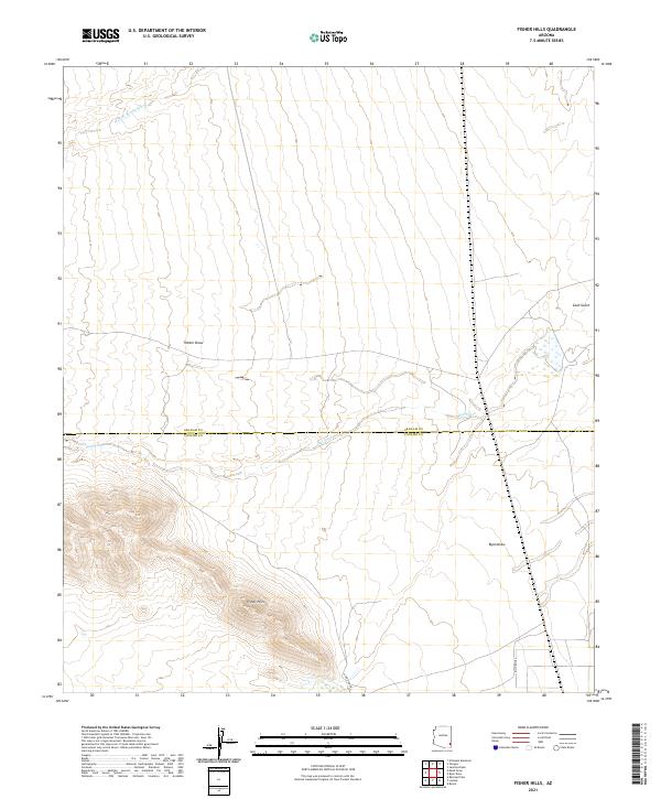
2021 Map of Fisher Hills
USGS Topo · Published 2021About this map
Fisher Hills rise as a prominent landform in this arid landscape along the border of Graham and Cochise counties. The area is defined by a series of drainage patterns and dry washes that shape the desert floor, including the long paths of Dial Wash and Willow Spring Wash. These ephemeral watercourses, along with Timber Draw and Ryan Draw, illustrate the intricate hydrology typical of the high desert, where seasonal rains dictate the movement of sediment and water.
Find a feature on this map
13 named features on this map. Tap any name to fly to it.
Don’t see what you’re looking for? This feature index may not catch every label — zoom into the map to look around manually.
Map Details
Editions of this 2021 Fisher Hills Map
This is the sole edition of this map. No revisions or reprints were ever made.
Other maps of this area

1917 · San Simon
USGS Topo · 1:125,000

1922 · Willcox
USGS Topo · 1:125,000

1928 · Bowie
USGS Topo · 1:62,500

1944 · Fisher Hills
USGS Topo · 1:62,500

1949 · Bowie
USGS Topo · 1:62,500

1950 · Bowie
USGS Topo · 1:62,500

1954 · Silver City
USGS Topo · 1:250,000

1957 · Luzena
USGS Topo · 1:62,500

1958 · Silver City
USGS Topo · 1:250,000

1962 · Silver City
USGS Topo · 1:250,000