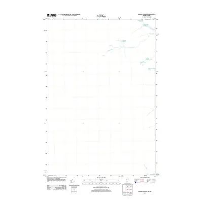
2011 Map of Fisher Ponds
USGS Topo · Published 2011About this map
Stony Brook meanders through this borderland landscape between Maine and Quebec, connecting a series of remote water bodies in the northern forest. The drainage pattern is anchored by the Fisher Ponds at the center and extends toward the northern edge where Frost Pond and the Frost Pond Flowage are located. This early 21st-century survey documents the precise hydrography of a region defined by its glacial kettle ponds, including Middle Grenier Pond, Little Grenier Pond, and Upper Dingley Pond. The lack of named roads or structures on this sheet underscores the isolation of the area, making it a critical reference for understanding the natural waterways before any potential modern development or alterations. Small features like Hall Pond at the southern edge complete this detailed inventory of high-latitude wetlands.
Find a feature on this map
8 named features on this map. Tap any name to fly to it.
Don’t see what you’re looking for? This feature index may not catch every label — zoom into the map to look around manually.
Map Details
Editions of this 2011 Fisher Ponds Map
This is the sole edition of this map. No revisions or reprints were ever made.
Other maps of this area

1927 · Sandy Bay
USGS Topo · 1:48,000

1930 · Sandy Bay
USGS Topo · 1:62,500

1944 · Sandy Bay
USGS Topo · 1:62,500

1949 · Jackman
USGS Topo · 1:250,000

1956 · Penobscot Lake
USGS Topo · 1:62,500

1957 · Norris Brook
USGS Topo · 1:62,500

1957 · Saint Zacharie
USGS Topo · 1:62,500

1962 · Quebec
USGS Topo · 1:250,000

1963 · Jackman
USGS Topo · 1:250,000

1966 · Sherbrooke
USGS Topo · 1:250,000