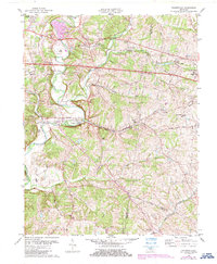
1982 Map of Fisherville
USGS Topo · Published 1987About this map
Floyds Fork meanders through this landscape on the border of Jefferson, Shelby, and Spencer Counties, anchoring a region of transition between small-town settlement and rural topography. The community of Fisherville sits at a prominent bend in the waterway, where Old Taylorsville Road once served as a primary artery for local travel. To the north, the corridor following the CSX and Southern railroads links Eastwood, Boston, and Lincoln Ridge, reflecting the transport-oriented growth of these upland areas.
Find a feature on this map
38 named features on this map. Tap any name to fly to it.
Don’t see what you’re looking for? This feature index may not catch every label — zoom into the map to look around manually.
Map Details
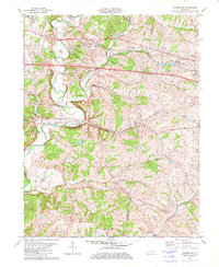
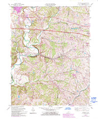
Editions of this 1982 Fisherville Map
3 editions found
Other maps of this area

1905 · Prospect
USGS Topo · 1:62,500

1907 · Louisville
USGS Topo · 1:62,500

1912 · Prospect
USGS Topo · 1:62,500

1929 · Taylorsville
USGS Topo · 1:62,500

1932 · La Grange
USGS Topo · 1:62,500

1951 · Anchorage
USGS Topo · 1:24,000

1951 · Crestwood
USGS Topo · 1:24,000

1951 · Jeffersontown
USGS Topo · 1:24,000

1951 · Fisherville
USGS Topo · 1:24,000

1951 · Waterford
USGS Topo · 1:24,000