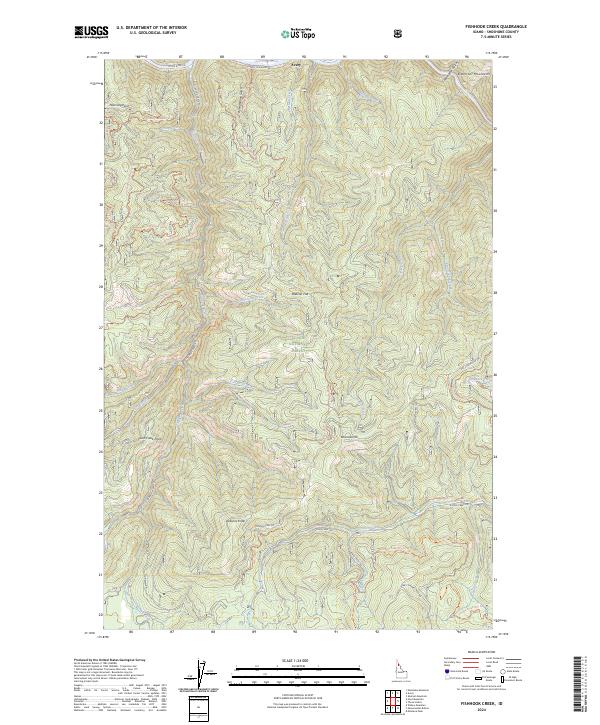
2024 Map of Fishhook Creek
USGS Topo · Published 2024About this map
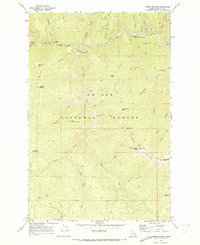
The Saint Joe Wild and Scenic River defines the northern reaches of this landscape, where the settlement of Avery sits along the St Joe River Rd. This territory within the St Joe National Forest is characterized by the high peaks of the Bitterroot Mountains and a complex drainage system feeding into the main river corridor. A network of forest roads and motorized trails, such as the Fishhook Face Ohv Trl and Flemming Ridge Ohv Trl, provides access to interior landmarks including Brebner Flat and Jacksons Knob. The map reveals the intricate topography of the Shoshone County backcountry, tracing the paths of Fishhook Creek and Kelley Creek through narrow gulches and over ridges like Lick Creek Point. This modern survey records the ongoing management of these public lands and the infrastructure supporting recreational and industrial use in northern Idaho.
Find a feature on this map
44 named features on this map. Tap any name to fly to it.
Don’t see what you’re looking for? This feature index may not catch every label — zoom into the map to look around manually.
Map Details
Editions of this 2024 Fishhook Creek Map
This is the sole edition of this map. No revisions or reprints were ever made.
Other maps of this area

1914 · Avery
USGS Topo · 1:125,000

1917 · Avery
USGS Topo · 1:125,000

1956 · Saltese
USGS Topo · 1:62,500

1956 · Wallace
USGS Topo · 1:250,000

1957 · Wallace
USGS Topo · 1:62,500

1960 · Wallace
USGS Topo · 1:250,000
1969 · Montana Peak
USGS Topo · 1:24,000
1969 · Monumental Buttes
USGS Topo · 1:24,000
1969 · Hoyt Mountain
USGS Topo · 1:24,000
1969 · Three Sisters
USGS Topo · 1:24,000