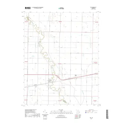
2017 Map of Fisk
USGS Topo · Published 2017About this map
The Saint Francis River carves a sinuous path through the lowlands of Butler and Stoddard Counties, defining the agricultural landscape between Fisk and Ash Hill. This Missouri bootheel terrain is heavily modified by an extensive drainage network, including the colorfully named Coal Oil Johnny Ditch, Mingo Ditch, and several numbered channels like Ditch Number 16 and Ditch Number 17. These systems reflect the massive engineering efforts required to reclaim the swampy bottoms for farming.
Find a feature on this map
70 named features on this map. Tap any name to fly to it.
Don’t see what you’re looking for? This feature index may not catch every label — zoom into the map to look around manually.
Map Details
Editions of this 2017 Fisk Map
This is the sole edition of this map. No revisions or reprints were ever made.
Other maps of this area

1934 · Puxico
USGS Topo · 1:62,500

1935 · Poplar Bluff
USGS Topo · 1:62,500

1935 · Harviell
USGS Topo · 1:62,500

1939 · Puxico
USGS Topo · 1:62,500

1939 · Poplar Bluff
USGS Topo · 1:62,500

1940 · Valley Ridge
USGS Topo · 1:62,500

1949 · Poplar Bluff
USGS Topo · 1:62,500

1956 · Valley Ridge
USGS Topo · 1:62,500

1957 · Poplar Bluff
USGS Topo · 1:250,000

1959 · Poplar Bluff
USGS Topo · 1:250,000