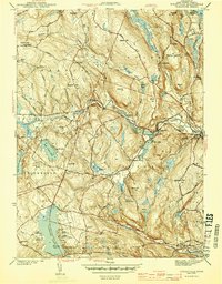
1943 Map of Fitchville
USGS Topo · Published 1943About this map
Fitchville and the Yantic River valley anchor this mid-century New London County survey, which reveals a landscape of industrial hamlets and organized summer camps during the Second World War. The corridor following the Central Vermont Railroad connects the settlement at Gilman to Franklin Sta, while the rugged uplands are defined by family-named landmarks like Standish Hill and Bourn Hill. Genealogists will find a wealth of burial sites, from the established Plains Cem to the isolated Way Cem and Parker Cem.
Find a feature on this map
79 named features on this map. Tap any name to fly to it.
Don’t see what you’re looking for? This feature index may not catch every label — zoom into the map to look around manually.
Map Details
Editions of this 1943 Fitchville Map
3 editions found
Other maps of this area

1892 · New London
USGS Topo · 1:62,500

1892 · Norwich
USGS Topo · 1:62,500

1892 · Gilead
USGS Topo · 1:62,500

1893 · New London
USGS Topo · 1:62,500

1893 · Saybrook
USGS Topo · 1:62,500

1921 · New London
USGS Topo · 1:62,500

1935 · Montville
USGS Topo · 1:24,000

1939 · Montville
USGS Topo · 1:31,680
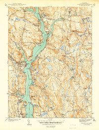
1941 · Uncasville
USGS Topo · 1:31,680

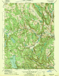
1943 · Fitchville
USGS Topo · 1:31,680