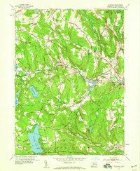
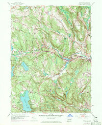
1953 Map of Fitchville
USGS Topo · Published 1959About this map
The Yantic River carves through the central hills of New London County, anchoring a landscape where small industrial hamlets and rural school districts once flourished. In the early 1950s, the community of Fitchville sits at the junction of the Norwich Turnpike and the river, while the Central Vermont railroad skirts the eastern edge near Franklin Sta. The southern portion of the sheet is dominated by the sprawling Gardner Lake, a hub for mid-century recreation evidenced by numerous seasonal camps including Camp Mooween, Camp Odetah, and Camp Tadma. For genealogists, the map preserves the exact locations of family-named landmarks and resting places like Scott Hill Cem and Parker Cem, as well as local landmarks like the Lebanon Country Club and the Leffingwell Sch.
Find a feature on this map
78 named features on this map. Tap any name to fly to it.
Don’t see what you’re looking for? This feature index may not catch every label — zoom into the map to look around manually.
Map Details
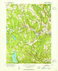
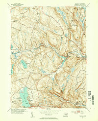
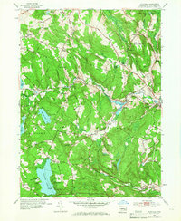
Editions of this 1953 Fitchville Map
5 editions found
Other maps of this area

1892 · New London
USGS Topo · 1:62,500

1892 · Norwich
USGS Topo · 1:62,500

1892 · Gilead
USGS Topo · 1:62,500

1893 · New London
USGS Topo · 1:62,500

1893 · Saybrook
USGS Topo · 1:62,500

1921 · New London
USGS Topo · 1:62,500

1935 · Montville
USGS Topo · 1:24,000

1939 · Montville
USGS Topo · 1:31,680
1941 · Uncasville
USGS Topo · 1:31,680

1943 · Fitchville
USGS Topo · 1:31,680