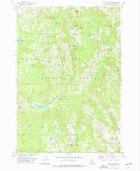
1973 Map of Fitsum Summit
USGS Topo · Published 1977About this map
High-altitude wilderness and utility infrastructure define this 1970s survey of the Payette National Forest in Valley County. The terrain is marked by a complex network of peaks and drainage basins, including the prominence of Sawtooth Peak and the high pass at Fitsum Summit. Notable human imprints in this backcountry include the Old Powerplant near Jumbo Creek and the Lake Fork Forest Service Station with its adjacent Footbridge.
Find a feature on this map
54 named features on this map. Tap any name to fly to it.
Don’t see what you’re looking for? This feature index may not catch every label — zoom into the map to look around manually.
Map Details
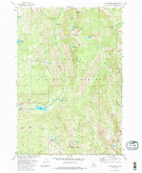
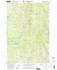
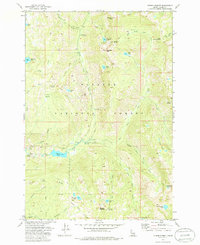
Editions of this 1973 Fitsum Summit Map
4 editions found
Other maps of this area

1911 · Meadows
USGS Topo · 1:125,000

1938 · Riggins
USGS Topo · 1:96,000

1945 · Riggins
USGS Topo · 1:125,000

1955 · Baker
USGS Topo · 1:250,000

1955 · Grangeville
USGS Topo · 1:250,000

1956 · Elk City
USGS Topo · 1:250,000

1957 · Challis
USGS Topo · 1:250,000

1959 · Baker
USGS Topo · 1:250,000

1959 · Grangeville
USGS Topo · 1:250,000

1960 · Elk City
USGS Topo · 1:250,000