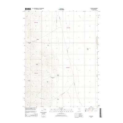
2014 Map of Fitting
USGS Topo · Published 2014About this map
Fitting sits at the western edge of the Buena Vista Valley where the desert floor meets the steep rise of the Humboldt Range. This landscape is defined by its transit history and drainage patterns, with the Lovelock-Unionville Rd and Old Emigrant Rd carving routes through the arid terrain. The map captures a complex system of alluvial fans and deep-cut drainages, including Dry Gulch and American Canyon, which flow from the high ridges toward the valley floor. To the south, Fossil Hill stands as a distinct topographic feature near the junction of several canyon systems, including South American Canyon and Troy Canyon. These labels reflect the region's enduring identity as a corridor for travel and small-scale settlement in the Great Basin, where water sources like Indian Cr dictated the path of historical movement.
Find a feature on this map
18 named features on this map. Tap any name to fly to it.
Don’t see what you’re looking for? This feature index may not catch every label — zoom into the map to look around manually.
Map Details
Editions of this 2014 Fitting Map
This is the sole edition of this map. No revisions or reprints were ever made.
Other maps of this area

1931 · Lovelock
USGS Topo · 1:250,000

1932 · Sonoma Range
USGS Topo · 1:250,000

1935 · Lovelock
USGS Topo · 1:250,000

1939 · Sonoma Range
USGS Topo · 1:250,000

1954 · Unionville
USGS Topo · 1:62,500

1954 · Buffalo Mtn
USGS Topo · 1:62,500

1955 · Lovelock
USGS Topo · 1:250,000

1955 · Winnemucca
USGS Topo · 1:250,000

1958 · Winnemucca
USGS Topo · 1:250,000

1959 · Lovelock
USGS Topo · 1:250,000