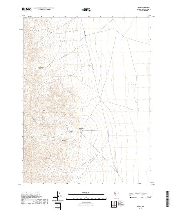
2021 Map of Fitting
USGS Topo · Published 2021About this map
The Humboldt Range dominates the western portion of this Pershing County landscape, defined by a complex system of drainages that descend into the desert floor. Historical travel routes such as the Old Emigrant Rd and the Lovelock-Unionville Rd cut through the arid terrain, marking the legacy of 19th-century transit and mining access. These corridors connect the high points of the range to the expansive Buena Vista Valley in the east.
Find a feature on this map
16 named features on this map. Tap any name to fly to it.
Don’t see what you’re looking for? This feature index may not catch every label — zoom into the map to look around manually.
Map Details
Editions of this 2021 Fitting Map
This is the sole edition of this map. No revisions or reprints were ever made.
Other maps of this area

1931 · Lovelock
USGS Topo · 1:250,000

1932 · Sonoma Range
USGS Topo · 1:250,000

1935 · Lovelock
USGS Topo · 1:250,000

1939 · Sonoma Range
USGS Topo · 1:250,000

1954 · Unionville
USGS Topo · 1:62,500

1954 · Buffalo Mtn
USGS Topo · 1:62,500

1955 · Lovelock
USGS Topo · 1:250,000

1955 · Winnemucca
USGS Topo · 1:250,000

1958 · Winnemucca
USGS Topo · 1:250,000

1959 · Lovelock
USGS Topo · 1:250,000