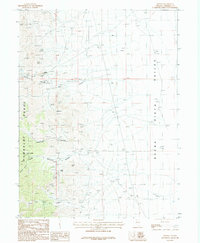
1987 Map of Fitting
USGS Topo · Published 1988About this map
Mining operations and high-desert drainage patterns define the western slopes of the Humboldt Range in this late-twentieth-century survey. The landscape is marked by a dense concentration of mineral extraction sites, particularly within the folds of American Canyon and Fitting Canyon. Significant named operations include the Bonanza King Mine, Cinnabar City Mine, and Pacific Matchless Mine, while numerous unnamed Adits, Mine Shafts, and Open Pits underscore the intensity of prospecting in the area.
Find a feature on this map
20 named features on this map. Tap any name to fly to it.
Don’t see what you’re looking for? This feature index may not catch every label — zoom into the map to look around manually.
Map Details
Editions of this 1987 Fitting Map
This is the sole edition of this map. No revisions or reprints were ever made.
Other maps of this area

1931 · Lovelock
USGS Topo · 1:250,000

1932 · Sonoma Range
USGS Topo · 1:250,000

1935 · Lovelock
USGS Topo · 1:250,000

1939 · Sonoma Range
USGS Topo · 1:250,000

1954 · Unionville
USGS Topo · 1:62,500

1954 · Buffalo Mtn
USGS Topo · 1:62,500

1955 · Lovelock
USGS Topo · 1:250,000

1955 · Winnemucca
USGS Topo · 1:250,000

1958 · Winnemucca
USGS Topo · 1:250,000

1959 · Lovelock
USGS Topo · 1:250,000