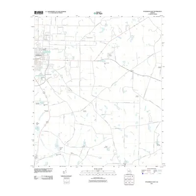
2011 Map of Fitzgerald East
USGS Topo · Published 2011About this map
Fitzgerald and the rural community of Ashton define the human geography of this South Georgia landscape, where agricultural land is intersected by a network of named country roads and family cemeteries. Significant burial grounds including Kiokee Cemetery, Old Field Cemetery, and Mc Cook Cemetery are scattered across the terrain, offering essential coordinates for genealogists tracing regional lineages. The hydrology of the area is heavily managed, characterized by numerous impoundments such as Dorminy Lake, Morehead Lake, and Davis Lake, each secured by their respective dams. These water bodies feed into the natural drainage systems of Satilla Creek, Sturgeon Creek, and Willacoochee Creek. The grid of the city expands toward the City of Fitzgerald Northeast Pond, while the surrounding countryside remains dominated by farm-to-market routes like Peachtree Rd and Evergreen Rd, which connect the various homesteads and local landmarks.
Find a feature on this map
89 named features on this map. Tap any name to fly to it.
Don’t see what you’re looking for? This feature index may not catch every label — zoom into the map to look around manually.
Map Details
Editions of this 2011 Fitzgerald East Map
This is the sole edition of this map. No revisions or reprints were ever made.
Other maps of this area

1953 · Waycross
USGS Topo · 1:250,000

1958 · Waycross
USGS Topo · 1:250,000

1972 · Fitzgerald East
USGS Topo · 1:24,000

1972 · Ambrose
USGS Topo · 1:24,000

1972 · China Hill
USGS Topo · 1:24,000

1972 · Ocilla East
USGS Topo · 1:24,000

1972 · Queensland
USGS Topo · 1:24,000

1973 · Ocilla West
USGS Topo · 1:24,000

1973 · Fitzgerald West
USGS Topo · 1:24,000

1977 · Osierfield
USGS Topo · 1:24,000