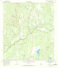
1969 Map of Fitzpatrick Hollow
USGS Topo · Published 1972About this map
The Nueces River snakes through the brush country of McMullen County, creating a complex hydrologic landscape where the main channel often diverges into the Old River. This South Texas terrain, characterized by the Kings Hills and dissected by drainages like Fitzpatrick Hollow and Richardson Creek, supported a post-war ranching economy centered on large landholdings. Isolated ranching operations, including the True Ranch and Arrowhead Ranch, define the settlement pattern of the late 1960s. Evidence of industrial and logistical infrastructure is visible in the form of a Landing Strip, a series of Gravel Pits, and a prominent Pipeline cutting across the northwestern corner. Man-made water features such as Big Tank and Mustang Tank emphasize the necessity of water management in this semi-arid environment, while the BR 215 Gaging Sta on the river suggests the importance of flow monitoring for the Texas Water Development Board.
Find a feature on this map
21 named features on this map. Tap any name to fly to it.
Don’t see what you’re looking for? This feature index may not catch every label — zoom into the map to look around manually.
Map Details
Editions of this 1969 Fitzpatrick Hollow Map
2 editions found
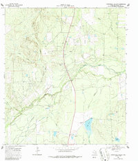
Other maps of this area

1920 · Mikeska
USGS Topo · 1:125,000

1925 · Tilden No. 1
USGS Topo · 1:48,000

1925 · Simmons No. 2
USGS Topo · 1:48,000

1929 · Simmons
USGS Topo · 1:62,500

1930 · Tilden
USGS Topo · 1:62,500

1937 · Loma Alta
USGS Topo · 1:62,500

1942 · Tilden
USGS Topo · 1:62,500

1953 · Crystal City
USGS Topo · 1:250,000

1955 · Crystal City
USGS Topo · 1:250,000

1961 · Crystal City
USGS Topo · 1:250,000