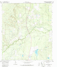
1969 Map of Fitzpatrick Hollow
USGS Topo · Published 1987About this map
The Nueces River winds through this South Texas landscape, creating a distinct riparian corridor characterized by old river channels and seasonal drainages. During this 1960s survey, the area is defined by large-scale ranching operations and water management infrastructure, evidenced by the Big Tank reservoir and its Spillway Elev 235. The presence of the True Ranch and an associated Landing Strip suggests the logistical demands of managing expansive rural holdings in McMullen County.
Find a feature on this map
19 named features on this map. Tap any name to fly to it.
Don’t see what you’re looking for? This feature index may not catch every label — zoom into the map to look around manually.
Map Details
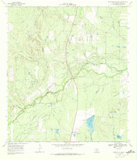
Editions of this 1969 Fitzpatrick Hollow Map
2 editions found
Other maps of this area

1920 · Mikeska
USGS Topo · 1:125,000

1925 · Tilden No. 1
USGS Topo · 1:48,000

1925 · Simmons No. 2
USGS Topo · 1:48,000

1929 · Simmons
USGS Topo · 1:62,500

1930 · Tilden
USGS Topo · 1:62,500

1937 · Loma Alta
USGS Topo · 1:62,500

1942 · Tilden
USGS Topo · 1:62,500

1953 · Crystal City
USGS Topo · 1:250,000

1955 · Crystal City
USGS Topo · 1:250,000

1961 · Crystal City
USGS Topo · 1:250,000