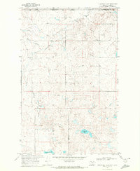
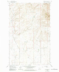
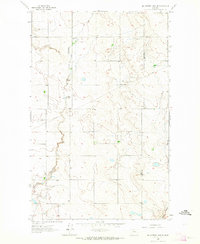
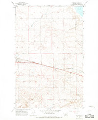
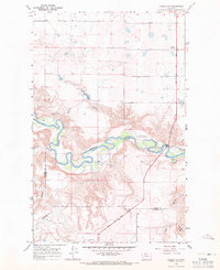
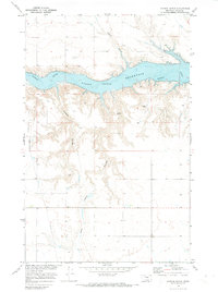
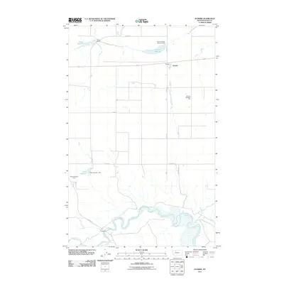
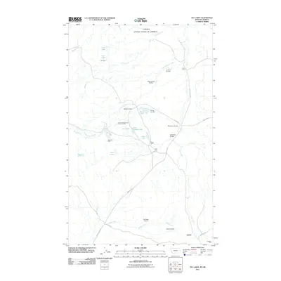
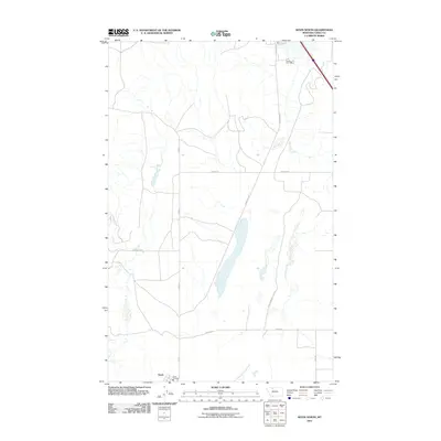
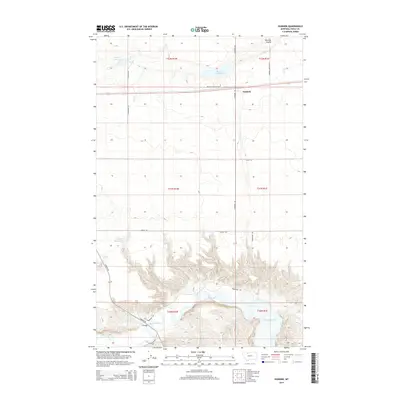
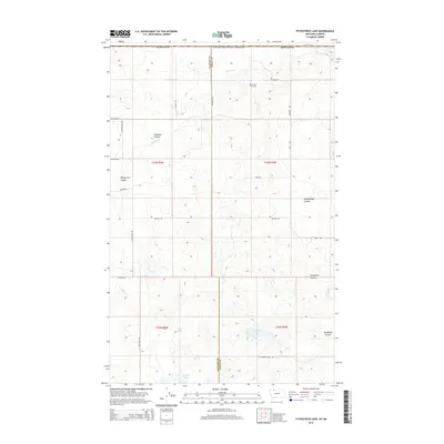
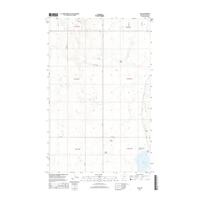
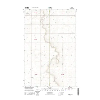
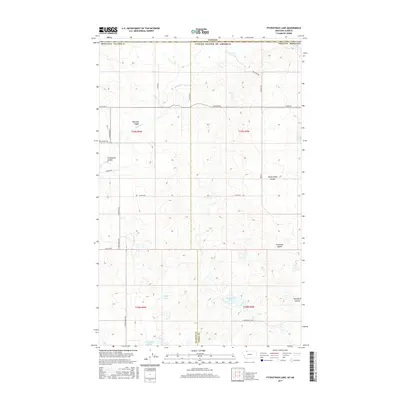
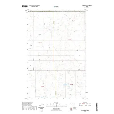
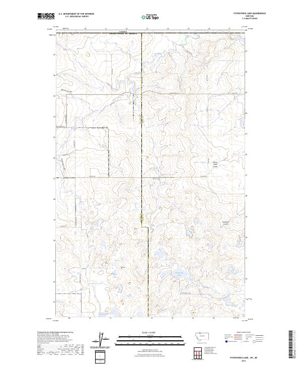
1968 Map of Fitzpatrick Lake
USGS Topo · Published 1972About this map
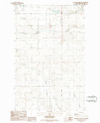
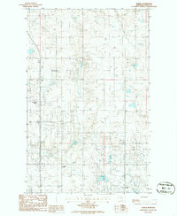
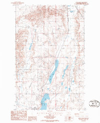
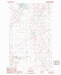
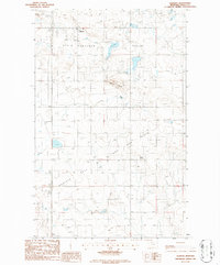
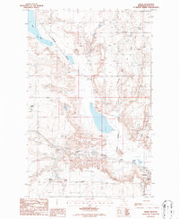
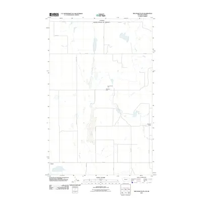
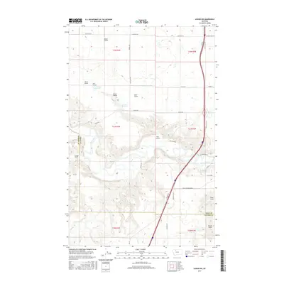
The Canada United States international border defines the northern edge of this late-1960s survey, marking a stark geopolitical line across a landscape dominated by resource extraction. The region is characterized by an extensive Oil Field, where numerous Oil Wells and a Pumping Sta indicate the industrial activity prevalent in this part of Toole and Glacier counties. Water features provide the primary orientation points in the undulating terrain, including the meandering Red Coulee River and the smaller Red Creek in the north. To the south, a series of basins hold Fitzpatrick Lake, Alkali Lake, and Grassy Lake. This map captures the intersection of natural drainage systems like Fitzpatrick Coulee with the rigid, surveyed boundaries of the Lethbridge District and the Montana-Alberta line.
Find a feature on this map
15 named features on this map. Tap any name to fly to it.
Don’t see what you’re looking for? This feature index may not catch every label — zoom into the map to look around manually.
Map Details
Editions of this 1968 Fitzpatrick Lake Map
This is the sole edition of this map. No revisions or reprints were ever made.
Historical Maps of Glacier County Through Time
219 maps found
1943 Antelope Coulee
Toole County, MT
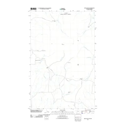
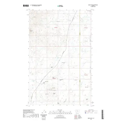
1945 West Butte
Toole County, MT
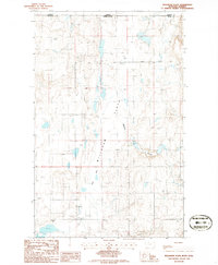
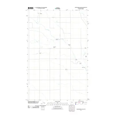
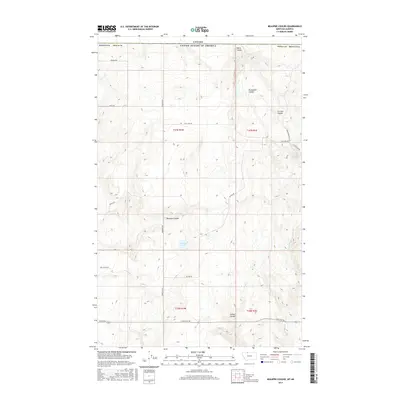
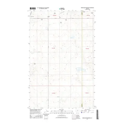
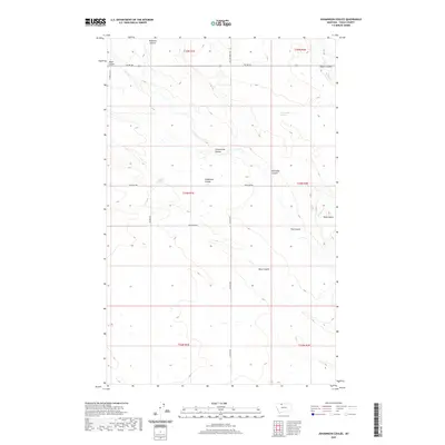
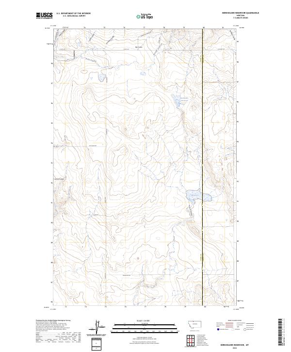
1962 Berkholder Reservoir
Toole County, MT
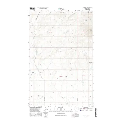
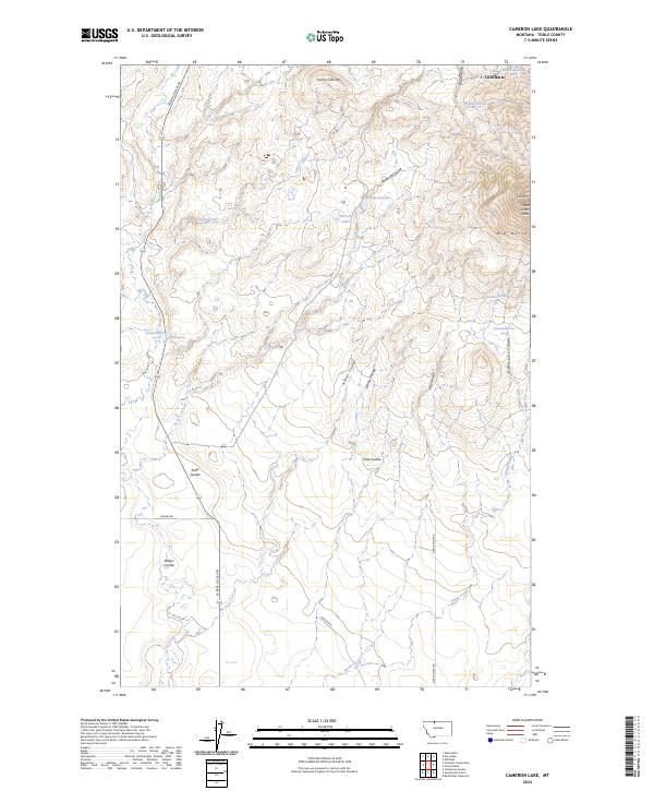
1962 Cameron Lake
Toole County, MT
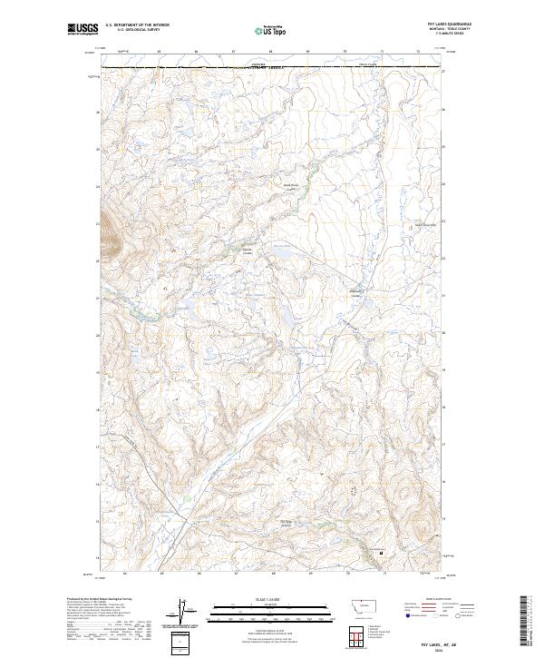
1962 Fey Lakes
Toole County, MT
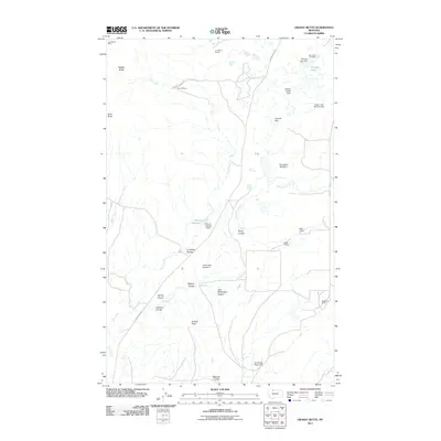
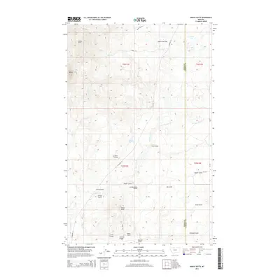
1962 Grassy Butte
Toole County, MT
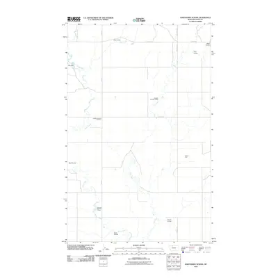
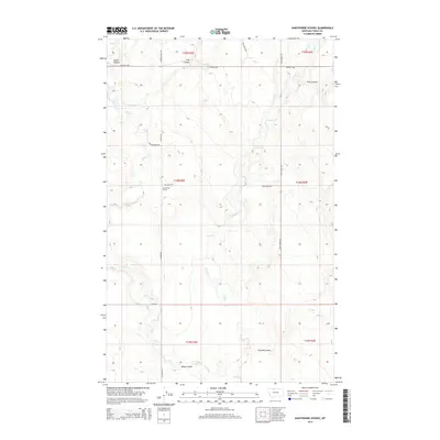
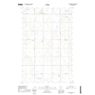
1962 Hawthorne School
Toole County, MT
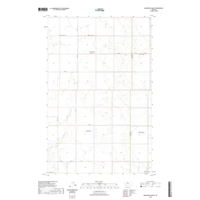
1962 Mc Carters Lake SE
Toole County, MT
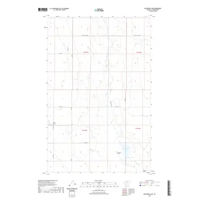
1962 Mc Carters Lake
Toole County, MT
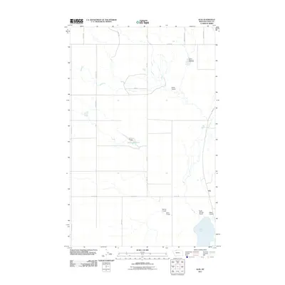
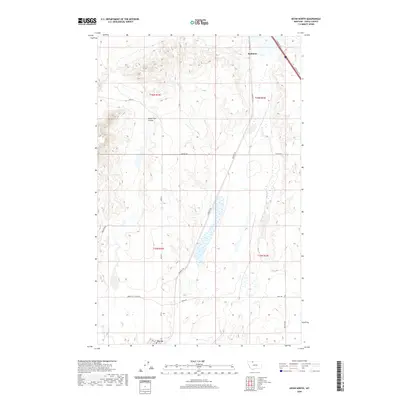
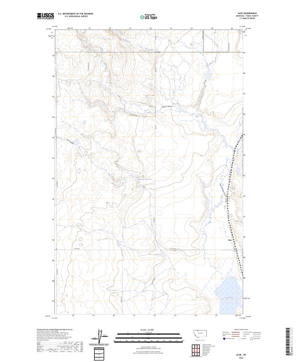
1966 Aloe
Toole County, MT
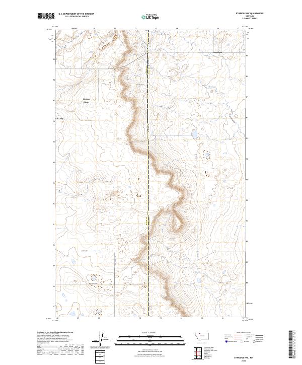
1966 Ethridge NW
Toole County, MT
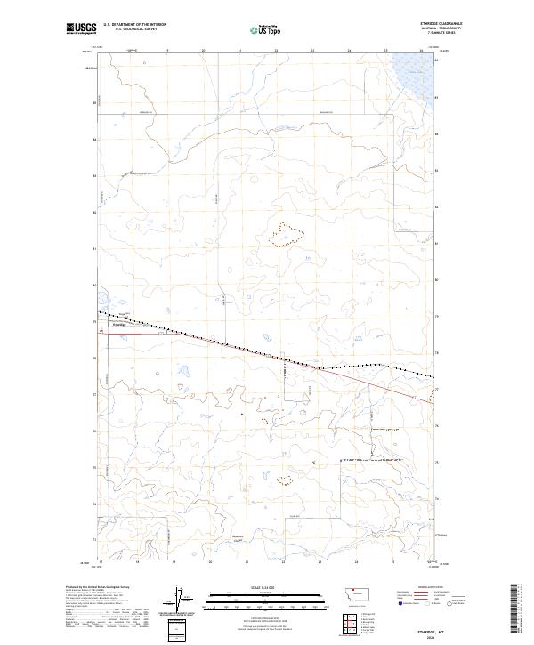
1966 Ethridge
Toole County, MT
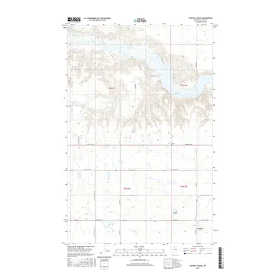
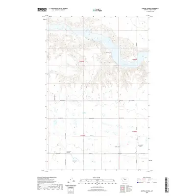
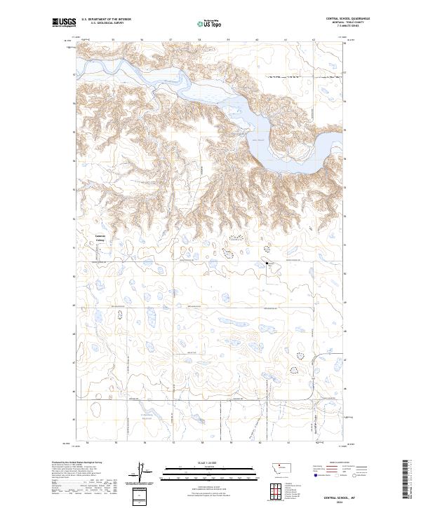
1967 Central School
Toole County, MT
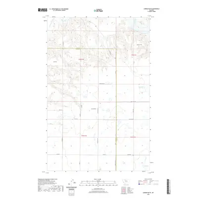
1967 Conrad Butte
Toole County, MT
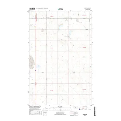
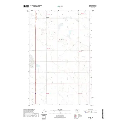
1967 Dunkirk
Toole County, MT
1967 Ledger NW
Toole County, MT
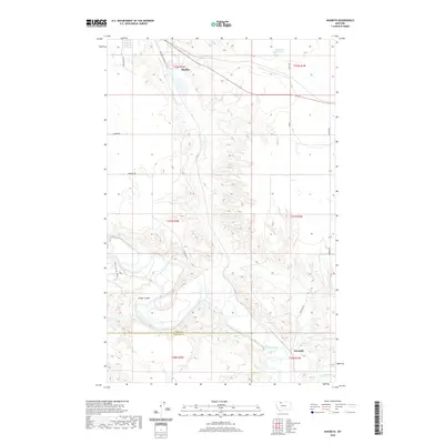
1967 Naismith
Toole County, MT
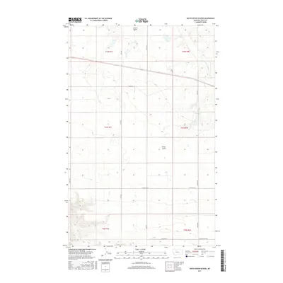
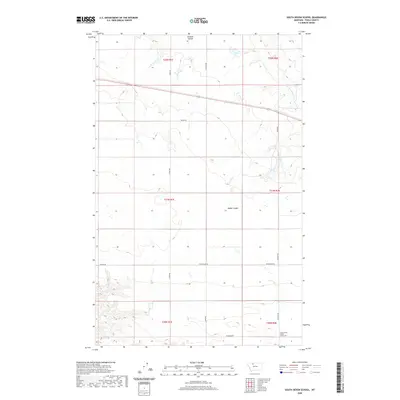
1967 South Devon School
Toole County, MT
1968 Fitzpatrick Lake
Toole County, MT
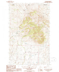
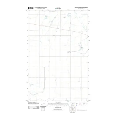
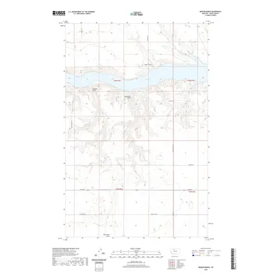
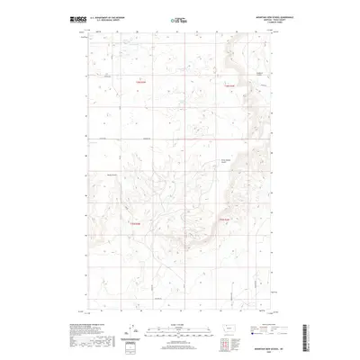
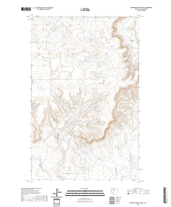
1968 Mountain View School
Toole County, MT
1970 Denson Ranch
Toole County, MT
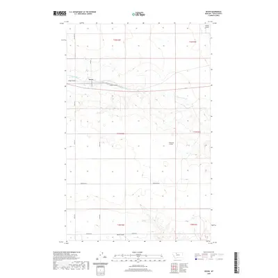
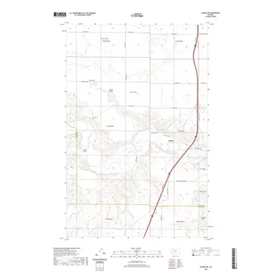
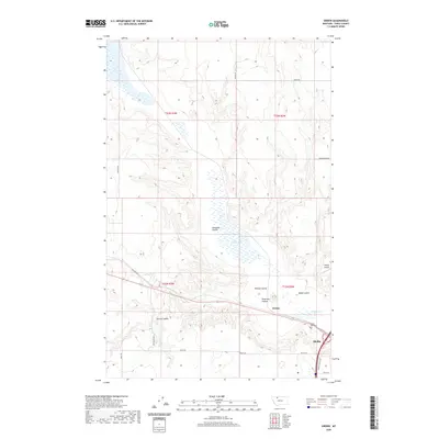
1970 Devon
Toole County, MT
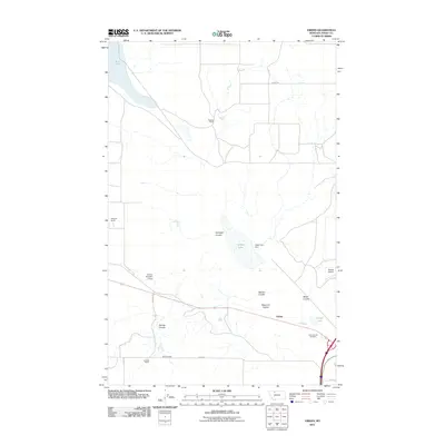
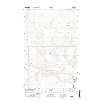
1970 Galata
Toole County, MT
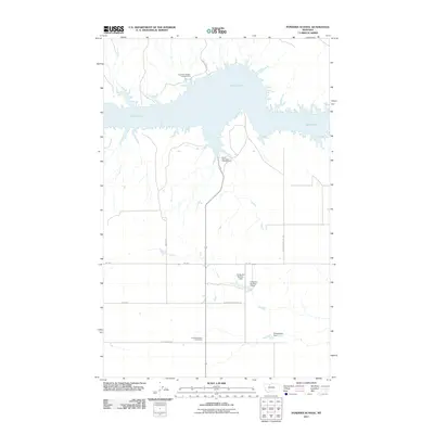
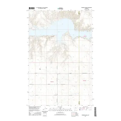
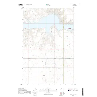
1970 Pondera School
Toole County, MT

1984 Sweet Grass Hills
Toole County, MT
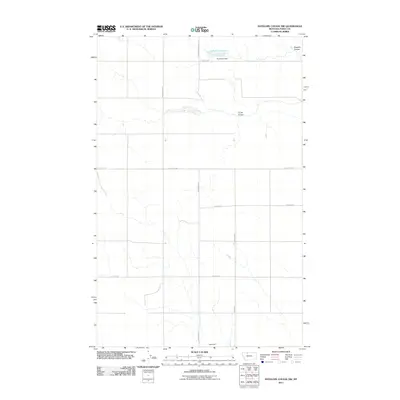
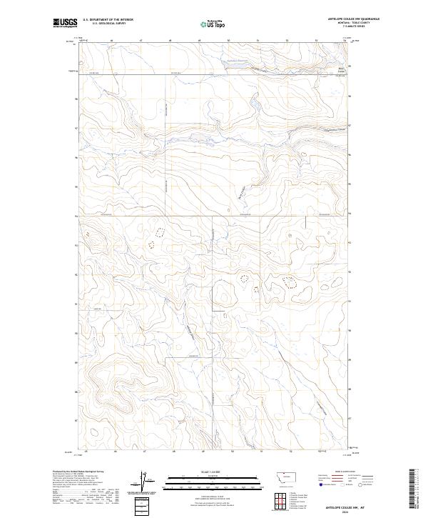
1986 Antelope Coulee NW
Toole County, MT
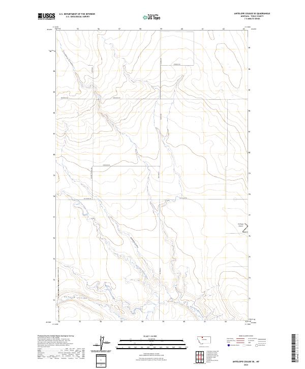
1986 Antelope Coulee SE
Toole County, MT
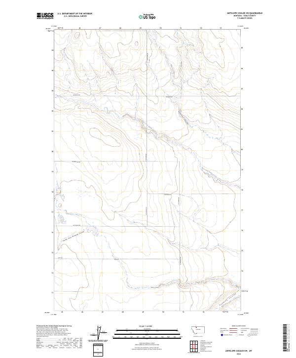
1986 Antelope Coulee SW
Toole County, MT
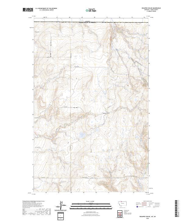
1986 Beaupre Coulee
Toole County, MT
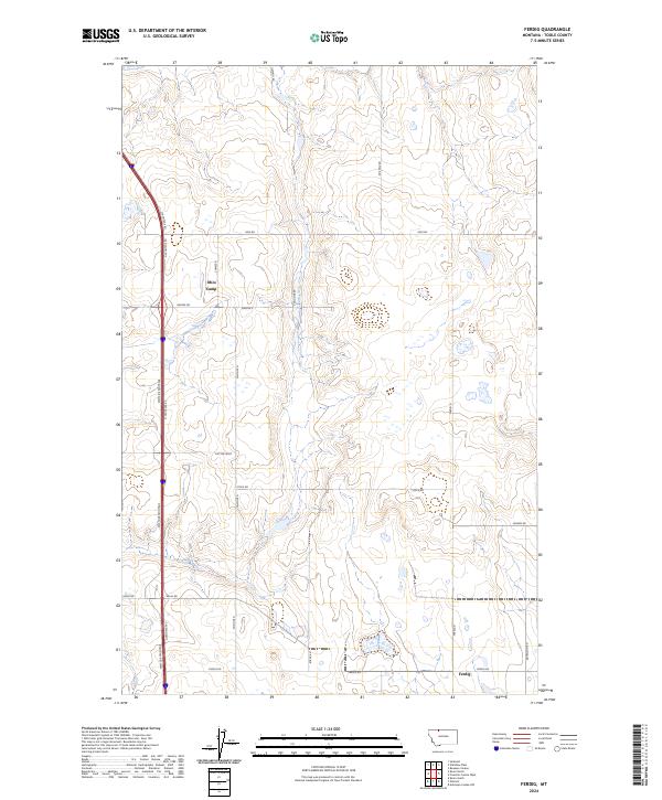
1986 Ferdig
Toole County, MT
1986 Fivemile Coulee East
Toole County, MT
1986 Fivemile Coulee West
Toole County, MT
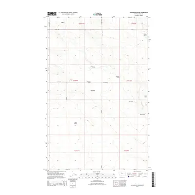
1986 Johannson Coulee
Toole County, MT
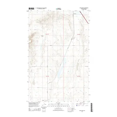
1986 Kevin North
Toole County, MT
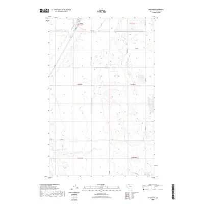
1986 Kevin South
Toole County, MT
1986 Oilmont
Toole County, MT
1986 Virden
Toole County, MT
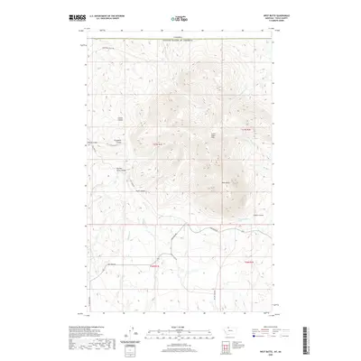
1986 West Butte
Toole County, MT
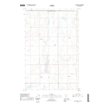
1986 Willshaw Flats
Toole County, MT
2011 Aloe
Toole County, MT
2011 Antelope Coulee NW
Toole County, MT
2011 Antelope Coulee SE
Toole County, MT
2011 Antelope Coulee SW
Toole County, MT
2011 Beaupre Coulee
Toole County, MT
2011 Berkholder Reservoir
Toole County, MT
2011 Cameron Lake
Toole County, MT
2011 Central School
Toole County, MT
2011 Conrad Butte
Toole County, MT

2011 Denson Ranch
Toole County, MT
2011 Devon
Toole County, MT
2011 Dunkirk
Toole County, MT
2011 Ethridge NW
Toole County, MT
2011 Ethridge
Toole County, MT
2011 Ferdig
Toole County, MT
2011 Fey Lakes
Toole County, MT
2011 Fitzpatrick Lake
Toole County, MT
2011 Fivemile Coulee East
Toole County, MT
2011 Fivemile Coulee West
Toole County, MT
2011 Galata
Toole County, MT
2011 Grassy Butte
Toole County, MT
2011 Hawthorne School
Toole County, MT
2011 Johannson Coulee
Toole County, MT
2011 Kevin North
Toole County, MT
2011 Kevin South
Toole County, MT
2011 Ledger NW
Toole County, MT
2011 McCarters Lake SE
Toole County, MT
2011 McCarters Lake
Toole County, MT
2011 Mountain View School
Toole County, MT
2011 Naismith
Toole County, MT
2011 Oilmont
Toole County, MT
2011 Pondera School
Toole County, MT
2011 South Devon School
Toole County, MT
2011 Virden
Toole County, MT
2011 West Butte
Toole County, MT
2011 Willshaw Flats
Toole County, MT
2014 Aloe
Toole County, MT
2014 Antelope Coulee NW
Toole County, MT
2014 Antelope Coulee SE
Toole County, MT
2014 Antelope Coulee SW
Toole County, MT
2014 Beaupre Coulee
Toole County, MT
2014 Berkholder Reservoir
Toole County, MT
2014 Cameron Lake
Toole County, MT
2014 Central School
Toole County, MT
2014 Conrad Butte
Toole County, MT
2014 Denson Ranch
Toole County, MT
2014 Devon
Toole County, MT
2014 Dunkirk
Toole County, MT
2014 Ethridge NW
Toole County, MT

2014 Ethridge
Toole County, MT
2014 Ferdig
Toole County, MT
2014 Fey Lakes
Toole County, MT
2014 Fitzpatrick Lake
Toole County, MT
2014 Fivemile Coulee East
Toole County, MT
2014 Fivemile Coulee West
Toole County, MT
2014 Galata
Toole County, MT
2014 Grassy Butte
Toole County, MT
2014 Hawthorne School
Toole County, MT
2014 Johannson Coulee
Toole County, MT
2014 Kevin North
Toole County, MT
2014 Kevin South
Toole County, MT
2014 Ledger NW
Toole County, MT
2014 McCarters Lake SE
Toole County, MT
2014 McCarters Lake
Toole County, MT
2014 Mountain View School
Toole County, MT
2014 Naismith
Toole County, MT
2014 Oilmont
Toole County, MT
2014 Pondera School
Toole County, MT
2014 South Devon School
Toole County, MT
2014 Virden
Toole County, MT
2014 West Butte
Toole County, MT
2014 Willshaw Flats
Toole County, MT
2017 Aloe
Toole County, MT
2017 Antelope Coulee NW
Toole County, MT
2017 Antelope Coulee SE
Toole County, MT
2017 Antelope Coulee SW
Toole County, MT
2017 Beaupre Coulee
Toole County, MT
2017 Berkholder Reservoir
Toole County, MT
2017 Cameron Lake
Toole County, MT
2017 Central School
Toole County, MT
2017 Conrad Butte
Toole County, MT
2017 Denson Ranch
Toole County, MT
2017 Devon
Toole County, MT
2017 Dunkirk
Toole County, MT
2017 Ethridge NW
Toole County, MT
2017 Ethridge
Toole County, MT
2017 Ferdig
Toole County, MT
2017 Fey Lakes
Toole County, MT
2017 Fitzpatrick Lake
Toole County, MT
2017 Fivemile Coulee East
Toole County, MT
2017 Fivemile Coulee West
Toole County, MT

2017 Galata
Toole County, MT
2017 Grassy Butte
Toole County, MT
2017 Hawthorne School
Toole County, MT
2017 Johannson Coulee
Toole County, MT
2017 Kevin North
Toole County, MT
2017 Kevin South
Toole County, MT
2017 Ledger NW
Toole County, MT
2017 McCarters Lake SE
Toole County, MT
2017 McCarters Lake
Toole County, MT
2017 Mountain View School
Toole County, MT

2017 Naismith
Toole County, MT
2017 Oilmont
Toole County, MT
2017 Pondera School
Toole County, MT
2017 South Devon School
Toole County, MT
2017 Virden
Toole County, MT

2017 West Butte
Toole County, MT
2017 Willshaw Flats
Toole County, MT
2020 Aloe
Toole County, MT
2020 Antelope Coulee NW
Toole County, MT
2020 Antelope Coulee SE
Toole County, MT
2020 Antelope Coulee SW
Toole County, MT
2020 Beaupre Coulee
Toole County, MT
2020 Berkholder Reservoir
Toole County, MT
2020 Cameron Lake
Toole County, MT
2020 Central School
Toole County, MT
2020 Conrad Butte
Toole County, MT
2020 Denson Ranch
Toole County, MT
2020 Devon
Toole County, MT
2020 Dunkirk
Toole County, MT
2020 Ethridge NW
Toole County, MT

2020 Ethridge
Toole County, MT
2020 Ferdig
Toole County, MT
2020 Fey Lakes
Toole County, MT
2020 Fitzpatrick Lake
Toole County, MT
2020 Fivemile Coulee East
Toole County, MT
2020 Fivemile Coulee West
Toole County, MT
2020 Galata
Toole County, MT
2020 Grassy Butte
Toole County, MT
2020 Hawthorne School
Toole County, MT
2020 Johannson Coulee
Toole County, MT
2020 Kevin North
Toole County, MT
2020 Kevin South
Toole County, MT
2020 Ledger NW
Toole County, MT
2020 McCarters Lake SE
Toole County, MT
2020 McCarters Lake
Toole County, MT
2020 Mountain View School
Toole County, MT
2020 Naismith
Toole County, MT
2020 Oilmont
Toole County, MT
2020 Pondera School
Toole County, MT
2020 South Devon School
Toole County, MT
2020 Virden
Toole County, MT
2020 West Butte
Toole County, MT
2020 Willshaw Flats
Toole County, MT
2024 Aloe
Toole County, MT
2024 Antelope Coulee NW
Toole County, MT
2024 Antelope Coulee SE
Toole County, MT
2024 Antelope Coulee SW
Toole County, MT
2024 Beaupre Coulee
Toole County, MT
2024 Berkholder Reservoir
Toole County, MT
2024 Cameron Lake
Toole County, MT
2024 Central School
Toole County, MT
2024 Conrad Butte
Toole County, MT
2024 Denson Ranch
Toole County, MT
2024 Devon
Toole County, MT
2024 Dunkirk
Toole County, MT
2024 Ethridge NW
Toole County, MT
2024 Ethridge
Toole County, MT
2024 Ferdig
Toole County, MT
2024 Fey Lakes
Toole County, MT
2024 Fitzpatrick Lake
Toole County, MT
2024 Fivemile Coulee East
Toole County, MT
2024 Fivemile Coulee West
Toole County, MT
2024 Galata
Toole County, MT
2024 Grassy Butte
Toole County, MT
2024 Hawthorne School
Toole County, MT
2024 Johannson Coulee
Toole County, MT
2024 Kevin North
Toole County, MT
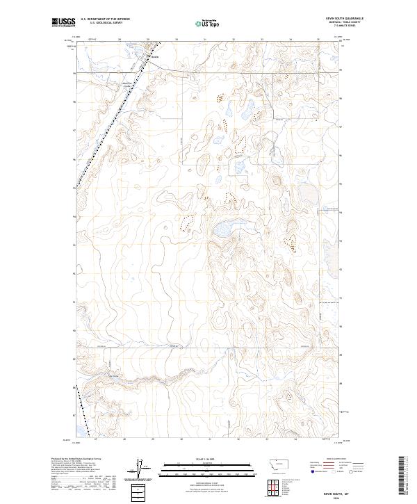
2024 Kevin South
Toole County, MT
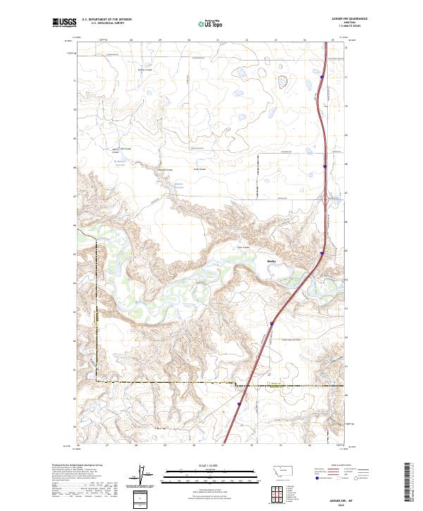
2024 Ledger NW
Toole County, MT
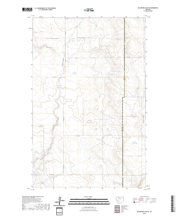
2024 McCarters Lake SE
Toole County, MT
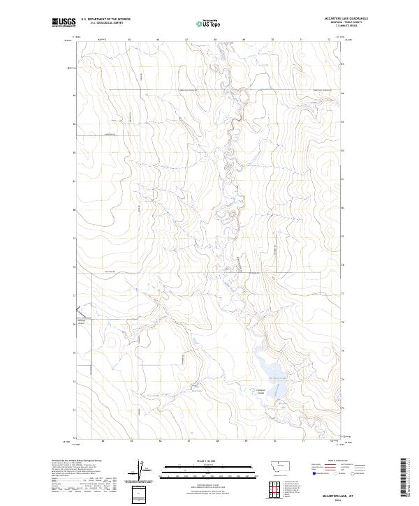
2024 McCarters Lake
Toole County, MT
2024 Mountain View School
Toole County, MT
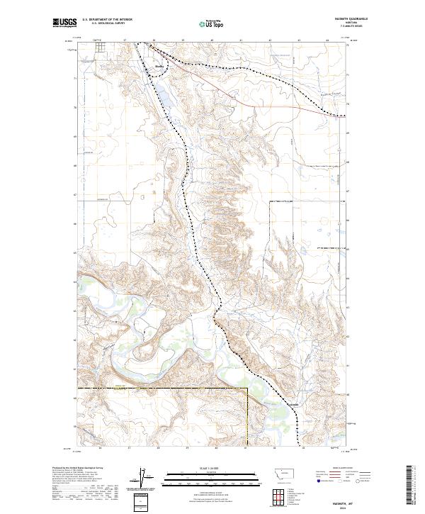
2024 Naismith
Toole County, MT
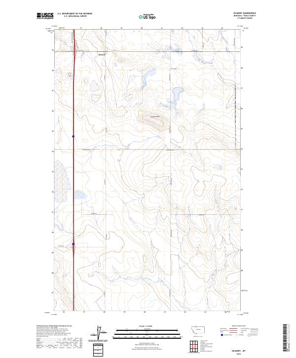
2024 Oilmont
Toole County, MT
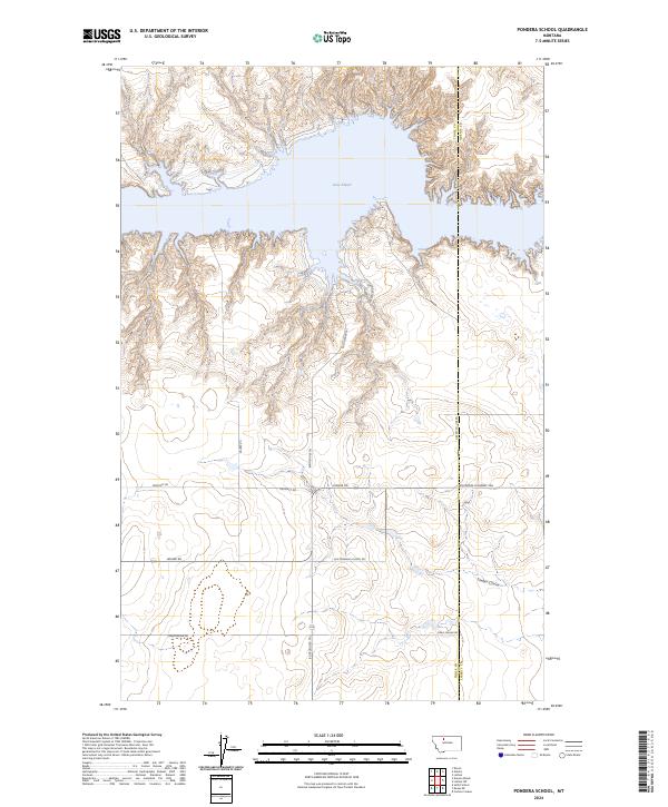
2024 Pondera School
Toole County, MT
2024 South Devon School
Toole County, MT
2024 Virden
Toole County, MT
2024 West Butte
Toole County, MT
2024 Willshaw Flats
Toole County, MT