
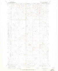
1968 Map of Headlight Butte NE
USGS Topo · Published 1972About this map
The Canada United States international border defines the northern edge of this high-plains landscape, where the Blackfeet Indian Reservation Boundary meets the Montana-Alberta line. The terrain is marked by the seasonal drainage of Pearsons Coulee and East Big Rock Coulee, feeding toward the winding path of the Red River. Amidst this open country, the map reveals the scattered infrastructure of the regional energy economy, with several Oil Wells and a solitary Oil Well punctuating the grid. Evidence of local community and industry appears at the Red River Sch and a nearby Gravel Pit. This survey captures a specific moment in the late 1960s when the land was utilized for both tribal resource management and petroleum extraction along the northern frontier.
Find a feature on this map
12 named features on this map. Tap any name to fly to it.
Don’t see what you’re looking for? This feature index may not catch every label — zoom into the map to look around manually.
Map Details
Editions of this 1968 Headlight Butte NE Map
This is the sole edition of this map. No revisions or reprints were ever made.
Other maps of this area

1909 · Cut Bank
USGS Topo · 1:125,000

1912 · Cut Bank
USGS Topo · 1:125,000

1960 · Cut Bank
USGS Topo · 1:250,000

1963 · Cut Bank
USGS Topo · 1:250,000

1964 · Cut Bank
USGS Topo · 1:250,000
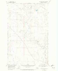
1968 · Dead Indian Spring
USGS Topo · 1:24,000
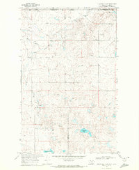
1968 · Fitzpatrick Lake
USGS Topo · 1:24,000
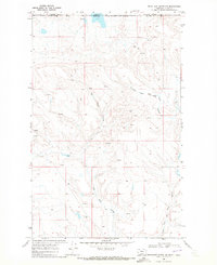
1968 · Headlight Butte NW
USGS Topo · 1:24,000
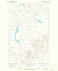
1968 · Glacier Colony
USGS Topo · 1:24,000
1968 · Headlight Butte
USGS Topo · 1:24,000