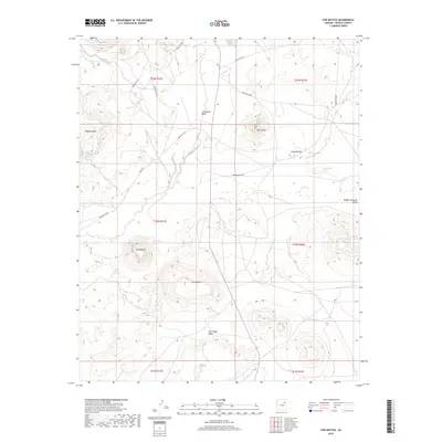
2018 Map of Five Buttes
USGS Topo · Published 2018About this map
Five Buttes and a series of prominent volcanic landforms dominate this high-desert landscape in the heart of the Navajo Nation. The terrain is defined by the broad Pueblo Colorado Valley and a network of ephemeral drainage systems including Biddahochi Wash, Lokasakad Wash, and Salt Seeps Wash. These watercourses, often dry but critical to the local ecology, are punctuated by reliable water sources like Shonto Spring, Malpais Spring, and Sand Spring.
Find a feature on this map
29 named features on this map. Tap any name to fly to it.
Don’t see what you’re looking for? This feature index may not catch every label — zoom into the map to look around manually.
Map Details
Editions of this 2018 Five Buttes Map
This is the sole edition of this map. No revisions or reprints were ever made.
Other maps of this area

1883 · Tusayan
USGS Topo · 1:250,000

1886 · Tusayan
USGS Topo · 1:250,000

1886 · Fort Defiance
USGS Topo · 1:250,000

1892 · Fort Defiance
USGS Topo · 1:250,000

1947 · Flagstaff
USGS Topo · 1:250,000

1954 · Flagstaff
USGS Topo · 1:250,000

1954 · Gallup
USGS Topo · 1:250,000

1958 · Gallup
USGS Topo · 1:250,000

1958 · Flagstaff
USGS Topo · 1:250,000

1959 · Gallup
USGS Topo · 1:250,000