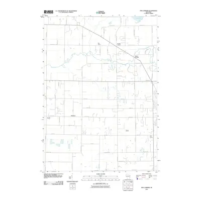
2010 Map of Five Corners
USGS Topo · Published 2010About this map
Kirchhayn and the surrounding agricultural lands of Ozaukee County appear here in a state of transition during the early 21st century. The landscape is defined by the winding course of Cedar Creek, which meanders through a grid of established local roads like County Hwy-G and Covered Bridge Rd. Small crossroads settlements including Decker Corner, Horns Corners, and Five Corners anchor the rural community, while the presence of Niemann Orchards suggests a continued reliance on local agriculture and specialized land use.
Find a feature on this map
52 named features on this map. Tap any name to fly to it.
Don’t see what you’re looking for? This feature index may not catch every label — zoom into the map to look around manually.
Map Details
Editions of this 2010 Five Corners Map
This is the sole edition of this map. No revisions or reprints were ever made.
Other maps of this area

1892 · Milwaukee
USGS Topo · 1:62,500

1892 · Waukesha
USGS Topo · 1:62,500

1892 · Port Washington
USGS Topo · 1:62,500

1901 · Milwaukee
USGS Topo · 1:62,500

1901 · Waukesha
USGS Topo · 1:62,500

1904 · West Bend
USGS Topo · 1:62,500

1904 · Port Washington
USGS Topo · 1:62,500

1906 · Waukesha
USGS Topo · 1:62,500

1906 · Milwaukee
USGS Topo · 1:62,500

1954 · Milwaukee
USGS Topo · 1:250,000