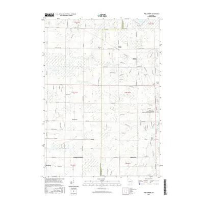
2015 Map of Five Corners
USGS Topo · Published 2015About this map
Cedarburg and the surrounding rural landscape of Ozaukee and Washington Counties are meticulously documented in this 2015 study. The suburban progression of Mequon and Germantown meets established agricultural lands and historic clusters like Kirchhayn and Rockfield. The hydrology of the region is defined by the winding course of Cedar Creek, which flows past the settlement at Five Corners and through the heart of the developed areas. For local historians and genealogists, the map identifies several significant resting places, including Saint Marys Cem near Decker Corner and Saint Francis Cem to the south. The transition from industrial corridors to open wetlands is evident near Mud Lake and along the southern drainage of Pigeon Cr, illustrating the modern balance of natural conservation and residential expansion.
Find a feature on this map
106 named features on this map. Tap any name to fly to it.
Don’t see what you’re looking for? This feature index may not catch every label — zoom into the map to look around manually.
Map Details
Editions of this 2015 Five Corners Map
This is the sole edition of this map. No revisions or reprints were ever made.
Other maps of this area

1892 · Milwaukee
USGS Topo · 1:62,500

1892 · Waukesha
USGS Topo · 1:62,500

1892 · Port Washington
USGS Topo · 1:62,500

1901 · Milwaukee
USGS Topo · 1:62,500

1901 · Waukesha
USGS Topo · 1:62,500

1904 · West Bend
USGS Topo · 1:62,500

1904 · Port Washington
USGS Topo · 1:62,500

1906 · Waukesha
USGS Topo · 1:62,500

1906 · Milwaukee
USGS Topo · 1:62,500

1954 · Milwaukee
USGS Topo · 1:250,000