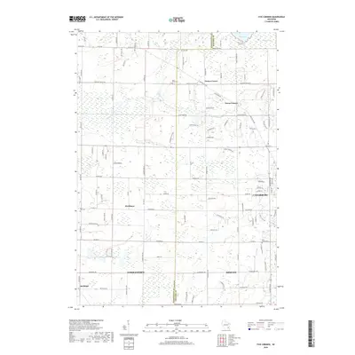
2018 Map of Five Corners
USGS Topo · Published 2018About this map
The Cedarburg Bog dominates the northeastern landscape of this region, a significant natural feature situated just north of Cedarburg and Mequon. This modern topographic survey illustrates the transition between these expanding residential communities and the traditional agricultural clusters that define the interior of the county. Small, established settlements such as Kirchhayn, Decker Corner, and Horns Corners are scattered across the terrain, often centered on historic intersections.
Find a feature on this map
104 named features on this map. Tap any name to fly to it.
Don’t see what you’re looking for? This feature index may not catch every label — zoom into the map to look around manually.
Map Details
Editions of this 2018 Five Corners Map
This is the sole edition of this map. No revisions or reprints were ever made.
Other maps of this area

1892 · Milwaukee
USGS Topo · 1:62,500

1892 · Waukesha
USGS Topo · 1:62,500

1892 · Port Washington
USGS Topo · 1:62,500

1901 · Milwaukee
USGS Topo · 1:62,500

1901 · Waukesha
USGS Topo · 1:62,500

1904 · West Bend
USGS Topo · 1:62,500

1904 · Port Washington
USGS Topo · 1:62,500

1906 · Waukesha
USGS Topo · 1:62,500

1906 · Milwaukee
USGS Topo · 1:62,500

1954 · Milwaukee
USGS Topo · 1:250,000