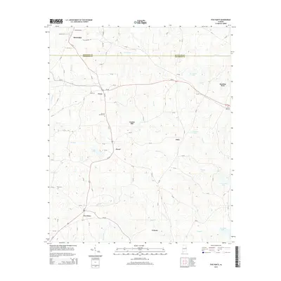
2014 Map of Five Points
USGS Topo · Published 2014About this map
Roanoke and the surrounding rural communities of Randolph Co and Chambers Co are captured here in the early 21st century. The landscape is defined by the winding course of the Us-431 corridor, which connects several smaller settlements including Welch, Stroud, and Five Points. Local history is preserved in numerous burial grounds, such as Bethel Cem and Finney Cem, which sit alongside family-named water features like Stricklands Lake and Grady Lake.
Find a feature on this map
90 named features on this map. Tap any name to fly to it.
Don’t see what you’re looking for? This feature index may not catch every label — zoom into the map to look around manually.
Map Details
Editions of this 2014 Five Points Map
This is the sole edition of this map. No revisions or reprints were ever made.
Other maps of this area

1899 · Wedowee
USGS Topo · 1:125,000

1902 · Wedowee
USGS Topo · 1:125,000

1907 · Opelika
USGS Topo · 1:125,000

1909 · Opelika
USGS Topo · 1:125,000

1953 · Atlanta
USGS Topo · 1:250,000

1955 · Phenix City
USGS Topo · 1:250,000

1957 · Phenix City
USGS Topo · 1:250,000

1957 · Atlanta
USGS Topo · 1:250,000

1958 · Phenix City
USGS Topo · 1:250,000

1958 · Atlanta
USGS Topo · 1:250,000