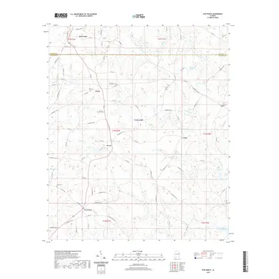
2020 Map of Five Points
USGS Topo · Published 2020About this map
Roanoke anchors the northern reaches of this East Alabama landscape, where the boundary between Randolph and Chambers counties bisects a terrain of winding creeks and small settlements. The community of Stroud and the crossroads at Five Points serve as local hubs, connected by a network of county roads that navigate the drainage basins of Veasey Cr and Finley Cr. This 2020 record illustrates a rural economy characterized by dispersed homesteads and historical industrial sites like Cumbee Mill, situated along the banks of Gross Br.
Find a feature on this map
89 named features on this map. Tap any name to fly to it.
Don’t see what you’re looking for? This feature index may not catch every label — zoom into the map to look around manually.
Map Details
Editions of this 2020 Five Points Map
This is the sole edition of this map. No revisions or reprints were ever made.
Other maps of this area

1899 · Wedowee
USGS Topo · 1:125,000

1902 · Wedowee
USGS Topo · 1:125,000

1907 · Opelika
USGS Topo · 1:125,000

1909 · Opelika
USGS Topo · 1:125,000

1953 · Atlanta
USGS Topo · 1:250,000

1955 · Phenix City
USGS Topo · 1:250,000

1957 · Phenix City
USGS Topo · 1:250,000

1957 · Atlanta
USGS Topo · 1:250,000

1958 · Phenix City
USGS Topo · 1:250,000

1958 · Atlanta
USGS Topo · 1:250,000