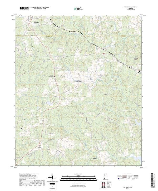
2024 Map of Five Points
USGS Topo · Published 2024About this map
Five Points and its surrounding communities are mapped here along the border of Chambers and Randolph counties. This landscape is defined by its small settlements and extensive drainage network, where Veasey Creek and Finley Creek flow toward the eastern reaches of West Point Lake. The map reveals a distribution of local rural hubs, from the crossroads at Fredonia in the south to the historic presence of Cumbee Mill and the settlement of Stroud.
Find a feature on this map
86 named features on this map. Tap any name to fly to it.
Don’t see what you’re looking for? This feature index may not catch every label — zoom into the map to look around manually.
Map Details
Editions of this 2024 Five Points Map
This is the sole edition of this map. No revisions or reprints were ever made.
Other maps of this area

1899 · Wedowee
USGS Topo · 1:125,000

1902 · Wedowee
USGS Topo · 1:125,000

1907 · Opelika
USGS Topo · 1:125,000

1909 · Opelika
USGS Topo · 1:125,000

1953 · Atlanta
USGS Topo · 1:250,000

1955 · Phenix City
USGS Topo · 1:250,000

1957 · Phenix City
USGS Topo · 1:250,000

1957 · Atlanta
USGS Topo · 1:250,000

1958 · Phenix City
USGS Topo · 1:250,000

1958 · Atlanta
USGS Topo · 1:250,000