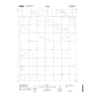
2018 Map of Five Points
USGS Topo · Published 2018About this map
Five Points serves as the central hub of this agricultural landscape within the wider San Joaquin Valley. The map reveals a grid of rural infrastructure, where major routes like W Mount Whitney Ave and S Madera Ave intersect to support the local farming economy. Water management is a primary theme of the terrain, visible through the systematic routing of the Stinson Canal, Crescent Ditch, and the meandering course of Fresno Slough in the northeast. These features highlight the complex irrigation networks required for large-scale cultivation in the Central Valley. Evidence of earlier transit patterns remains in named thoroughfares such as Elkhorn Grade, which cuts diagonally across the established section lines of the Public Land Survey System.
Find a feature on this map
33 named features on this map. Tap any name to fly to it.
Don’t see what you’re looking for? This feature index may not catch every label — zoom into the map to look around manually.
Map Details
Editions of this 2018 Five Points Map
This is the sole edition of this map. No revisions or reprints were ever made.
Other maps of this area

1912 · Coalinga
USGS Topo · 1:125,000

1925 · Helm
USGS Topo · 1:31,680

1925 · San Joaquin
USGS Topo · 1:31,680

1925 · Raisin
USGS Topo · 1:31,680

1926 · Lethent
USGS Topo · 1:31,680

1927 · Burrel
USGS Topo · 1:31,680

1928 · Delta Farms No 3
USGS Topo · 1:31,680

1931 · Wheatville
USGS Topo · 1:31,680

1931 · Towne Oil Station
USGS Topo · 1:31,680

1932 · Delta Farms
USGS Topo · 1:31,680