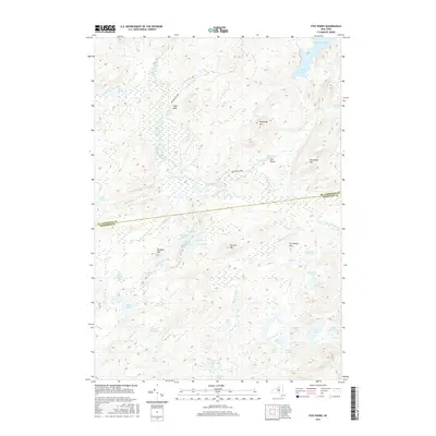
2016 Map of Five Ponds
USGS Topo · Published 2016About this map
The Adirondack Park wilderness dominates this landscape, where the meandering Oswegatchie River and its numerous tributaries define the terrain. The map highlights a complex aquatic network, including the namesake Five Ponds group—Little Five, Big Five, Little Shallow, Big Shallow, and Washbowl—tucked between Panther Mtn and Partlow Mtn. The survey documents a transition from the larger waters of Cranberry Lake in the northeast to more secluded interior features like Gull Lake and Toad Pond. Notable navigational landmarks for those traversing the interior include High Falls and Griffin Rapids along the river's upper reaches. The county line between St. Lawrence Co and Herkimer Co bisects the area, crossing through open regions such as The Plains near Boiling Spring.
Find a feature on this map
47 named features on this map. Tap any name to fly to it.
Don’t see what you’re looking for? This feature index may not catch every label — zoom into the map to look around manually.
Map Details
Editions of this 2016 Five Ponds Map
This is the sole edition of this map. No revisions or reprints were ever made.
Other maps of this area

1903 · Big Moose
USGS Topo · 1:62,500

1912 · Number Four
USGS Topo · 1:62,500

1915 · Number Four
USGS Topo · 1:62,500

1916 · Oswegatchie
USGS Topo · 1:62,500

1918 · Oswegatchie
USGS Topo · 1:62,500

1919 · Cranberry Lake
USGS Topo · 1:62,500

1921 · Cranberry Lake
USGS Topo · 1:62,500

1931 · Cranberry Lake
USGS Topo · 1:62,500

1948 · Ogdensburg
USGS Topo · 1:250,000

1950 · Utica
USGS Topo · 1:250,000